Sentier Du Lac Caribou
 Photo: Marie Thérèse Hébert & Jean Robert Thibault, CC BY-SA 2.0 (via Flickr)
- 4.0 mi
- one way
- 1,378 ft
- high point
- Point to point
- route
- Easy
- difficulty
- Sep
- best months
Sentier Du Lac Caribou is a point-to-point trail spanning nearly 4 miles through Maine's natural landscape. This one-way route offers hikers a straightforward journey without the need to retrace their steps. Whether you're seeking a linear adventure or planning a shuttle hike, this trail provides a distinct Maine hiking experience.
- Nearby · Sentier Du Versant Sud · Sentier Des Géants · Sentier De La Traversée
Best time to go · Sep
Best time to visit Sentier Du Lac Caribou
Best months: September. Best months have typical highs of 55–85 °F, lows of 30 °F or warmer (32 °F where the station doesn't record snow), at most one snowy day and no more than 12 wet days.
Jan
21° / 0°
13 wet
Feb
24° / -1°
11 wet
Mar
34° / 10°
12 wet
Apr
47° / 26°
11 wet
May
62° / 38°
14 wet
Jun
71° / 48°
15 wet
Jul
76° / 53°
15 wet
Aug
75° / 51°
14 wet
Sep
67° / 42°
12 wet
Oct
53° / 33°
13 wet
Nov
39° / 23°
14 wet
Dec
27° / 10°
15 wet
Typical high / low (°F) and days with rain or snow, 1991–2020. Measured at Pittston Farm, ME, 42.9 mi away at 1,100 ft. This station doesn't record snowfall. Source: NOAA NCEI U.S. Climate Normals 1991–2020.
Keep exploring — more trails worth the drive
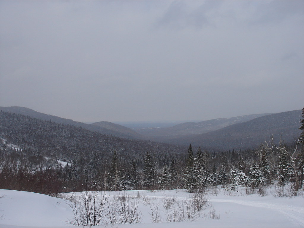 Photo: sambouchard418, CC BY-SA 2.0 (via Flickr)
Sentier Du Versant Sud
~21 min drive
1.02-mile point-to-point trail in Maine with 159 ft gain and 196 ft loss.
 Photo: Pierre-Arnaud KOPP from REIGNIER, France, CC BY 2.0 (via Wikimedia Commons)
Sentier Des Géants
~22 min drive
A nearly 5-mile point-to-point trail in Maine for hikers looking for a one-way adventure.
 Photo: sambouchard418, CC BY-SA 2.0 (via Flickr)
Sentier De La Traversée
~26 min drive
A strenuous 4.04-mile point-to-point trail in Maine's Franceville sector, ideal for experienced hikers seeking a challenging backcountry adventure.
Photo: Pierre-Arnaud KOPP from REIGNIER, France, CC BY 2.0 (via Wikimedia Commons)Sentier De La Slousse
~22 min drive
A 1.49-mile point-to-point trail in Maine for a quick outdoor adventure.
 Photo: Pierre-Arnaud KOPP from REIGNIER, France, CC BY 2.0 (via Wikimedia Commons)
Sentier Des Dryades
~23 min drive
1.38-mile point-to-point trail in Maine with 644 ft gain and 2,747 ft max elevation.
Sentier Des Orignaux
~35 min drive
A 9.26-mile point-to-point trail in Maine for hikers looking for a direct route through the region.
Photo: Pierre-Arnaud KOPP from REIGNIER, France, CC BY 2.0 (via Wikimedia Commons)Sentier Des Sources
~23 min drive
1.62-mile point-to-point trail in Maine with 591 ft gain and 2,747 ft max elevation
Photo: Pierre-Arnaud KOPP from REIGNIER, France, CC BY 2.0 (via Wikimedia Commons)Sentier Du Mont-Chocolat
~24 min drive
1.05-mile point-to-point trail in Maine with 621 ft gain and 459 ft loss.
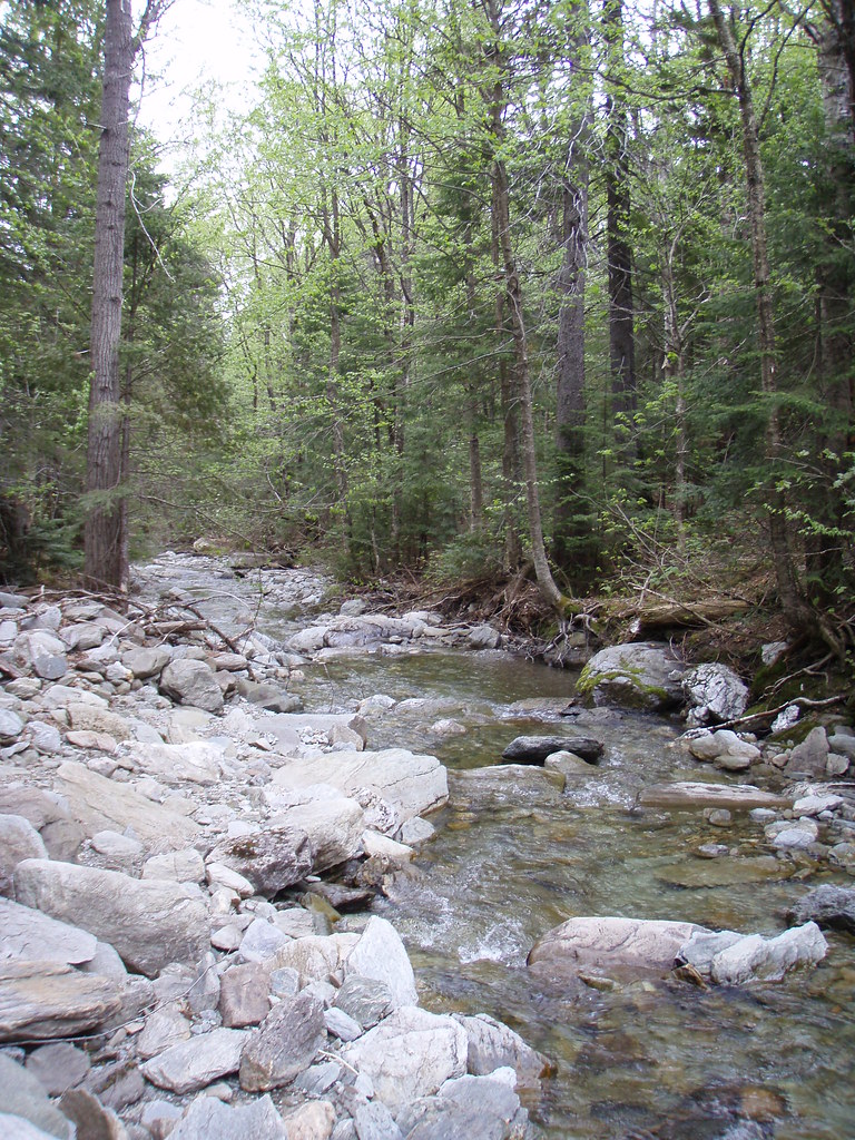 Photo: sambouchard418, CC BY-SA 2.0 (via Flickr)
Sentier Des Parois
~24 min drive
Sentier Des Parois is a 0.67-mile point-to-point trail in Maine with 325 ft gain.
Photo: Pierre-Arnaud KOPP from REIGNIER, France, CC BY 2.0 (via Wikimedia Commons)Sentier Des Ravages
~26 min drive
3.99-mile point-to-point trail in Maine with 1,047 ft gain and 1,162 ft loss.

Map and trail data © OpenStreetMap contributors
