Sentier Des Dryades
 Photo: Pierre-Arnaud KOPP from REIGNIER, France, CC BY 2.0 (via Wikimedia Commons)
- 1.4 mi
- one way
- 644 ft
- climb
- 2,747 ft
- high point
- Point to point
- route
Sentier Des Dryades is a 1.4-mile moderate hike in Maine, rising from about 2,060 feet to a high point of 2,747 feet. The climb is front-loaded, with the steepest stretch at about 0.6 miles in, where the grade reaches 20%. The route ends with a drop of about 1,300 feet, so the total elevation gain of 644 feet is one way. The nearest town is Daaquam, about 22 miles away. Bikes and horses are not allowed on this trail. The hike makes an easy pairing with other routes in the area. Sentier Des Sources starts just 0.1 mile away, and Sentier Des Parois and Sentier Du Mont-Chocolat are both within a mile. In winter, Sentier A and Sentier C offer ski touring about 1.3 miles off.
 Sentier Des SourcesHikingPhoto: Pierre-Arnaud KOPP from REIGNIER, France, CC BY 2.0 (via Wikimedia Commons)0.1 mi
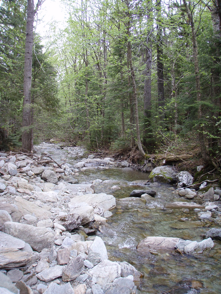 Sentier Des ParoisHikingPhoto: sambouchard418, CC BY-SA 2.0 (via Flickr)0.8 mi
- Sentier Du Mont-ChocolatHikingPhoto: Pierre-Arnaud KOPP from REIGNIER, France, CC BY 2.0 (via Wikimedia Commons)0.9 mi
 Sentier Des PasserellesHikingPhoto: sambouchard418, CC BY-SA 2.0 (via Flickr)1.2 mi
- Sentier De La SlousseHikingPhoto: Pierre-Arnaud KOPP from REIGNIER, France, CC BY 2.0 (via Wikimedia Commons)1.2 mi
- Sentier Des GéantsHikingPhoto: Pierre-Arnaud KOPP from REIGNIER, France, CC BY 2.0 (via Wikimedia Commons)1.2 mi
- Sentier ASki touring1.3 mi
- Sentier CSki touring1.3 mi
Source: Roamze catalog (indexable pages within 10 miles, PostGIS distance)
- Sentier Des ParoisHiking · ~1 min drivePhoto: sambouchard418, CC BY-SA 2.0 (via Flickr)
- Sentier Du Mont-ChocolatHiking · ~2 min drivePhoto: Pierre-Arnaud KOPP from REIGNIER, France, CC BY 2.0 (via Wikimedia Commons)
- Sentier De La TraverséeHiking · ~4 min drivePhoto: sambouchard418, CC BY-SA 2.0 (via Flickr)
- Sentier Des PasserellesHiking · ~2 min drivePhoto: sambouchard418, CC BY-SA 2.0 (via Flickr)
- Sentier Des GéantsHiking · ~2 min drivePhoto: Pierre-Arnaud KOPP from REIGNIER, France, CC BY 2.0 (via Wikimedia Commons)
- Sentier Des OrignauxHiking · ~19 min drive
- Sentier De La SlousseHiking · ~2 min drivePhoto: Pierre-Arnaud KOPP from REIGNIER, France, CC BY 2.0 (via Wikimedia Commons)
- Sentier Des RavagesHiking · ~4 min drivePhoto: Pierre-Arnaud KOPP from REIGNIER, France, CC BY 2.0 (via Wikimedia Commons)
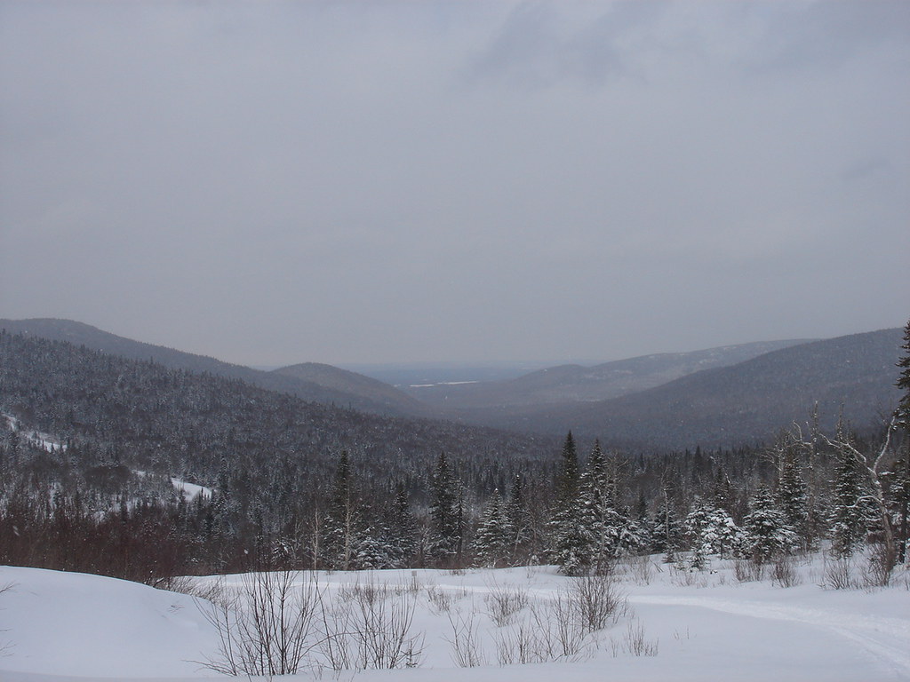 Sentier Du Versant SudHiking · ~3 min drivePhoto: sambouchard418, CC BY-SA 2.0 (via Flickr)
- Sentier De La Crête Des GrivesHiking · ~5 min drive

Map and trail data © OpenStreetMap contributors
