Sentier Des Orignaux
- 9.3 mi
- one way
- 2,573 ft
- climb
- 2,792 ft
- high point
- Point to point
- route
Sentier Des Orignaux is a hard hiking route in northern Maine, a point-to-point path that gains about 2,600 feet over roughly 9.3 miles. It rises from a low of 1,492 feet to a high of 2,792 feet, and it starts at about 1,693 feet, making it a long, steep climb for anyone who takes it from start to finish. The nearest town is Lac Frontiere, about 14 miles away. The trail is part of the lwn network, and another hike, Sentier Les Eskers, begins just 0.1 mile from it, so the two can be linked easily. The most comfortable months to go are late spring through early fall. Typical averages from a nearby weather station put June and September around 70°F, with July the warmest at about 75°F. That station sits lower than the route's high point, so temperatures on the summit run cooler. Other trails lie within a few miles, including Sentier Le Serpentin at 3.2 miles, Sentier Les Fantômes at 3.6 miles and Sentier Les Paroies at 4.7 miles, making it easy to extend a visit with more walking in the area.
- Sentier Les EskersHiking0.1 mi
- Sentier Le SerpentinHiking3.2 mi
- Sentier Les FantômesHiking3.6 mi
- Sentier Les ParoiesHiking4.7 mi
- Sentier Les CabouronsHiking4.8 mi
- Sentier Du Lac TalonHiking5.1 mi
- Sentier De L'érablièreHiking5.5 mi
- Sentier Des Chutes Du Ruisseau Des CèdresHiking5.9 mi
Source: Roamze catalog (indexable pages within 10 miles, PostGIS distance)
 Sentier De La TraverséeHiking · ~15 min drivePhoto: sambouchard418, CC BY-SA 2.0 (via Flickr)
 Sentier Des RavagesHiking · ~15 min drivePhoto: Pierre-Arnaud KOPP from REIGNIER, France, CC BY 2.0 (via Wikimedia Commons)
- Sentier Des PasserellesHiking · ~17 min drivePhoto: sambouchard418, CC BY-SA 2.0 (via Flickr)
- Sentier Du Mont-ChocolatHiking · ~17 min drivePhoto: Pierre-Arnaud KOPP from REIGNIER, France, CC BY 2.0 (via Wikimedia Commons)
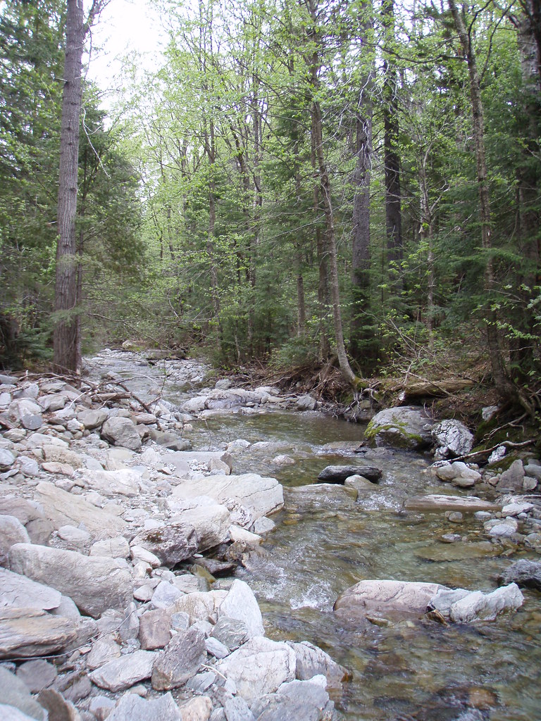 Sentier Des ParoisHiking · ~17 min drivePhoto: sambouchard418, CC BY-SA 2.0 (via Flickr)
 Sentier Des GéantsHiking · ~17 min drivePhoto: Pierre-Arnaud KOPP from REIGNIER, France, CC BY 2.0 (via Wikimedia Commons)
- Sentier De La SlousseHiking · ~17 min drivePhoto: Pierre-Arnaud KOPP from REIGNIER, France, CC BY 2.0 (via Wikimedia Commons)
- Sentier Des DryadesHiking · ~19 min drivePhoto: Pierre-Arnaud KOPP from REIGNIER, France, CC BY 2.0 (via Wikimedia Commons)
- Sentier Des SourcesHiking · ~19 min drivePhoto: Pierre-Arnaud KOPP from REIGNIER, France, CC BY 2.0 (via Wikimedia Commons)
- Sentier Du Lac TalonHiking · ~9 min drive
Map and trail data © OpenStreetMap contributors
