Sentier Le Morne à Giroux
- 2.1 mi
- loop
- 525 ft
- climb
- 2,091 ft
- high point
- Loop
- route
- May–Jun, Aug–Sep
- best months
Sentier Le Morne à Giroux is a 2.12-mile loop hike in Maine, part of the Morne à Giroux system. It's a compact, easy outing, and the trail links into a network of routes for those who want to extend their time on foot. The trail rises from about 1,574 feet to about 2,091 feet, with the steepest stretch at roughly 1.8 miles in, where the grade reaches 26%. That makes it a short climb rather than a long one, and the loop shape lets you turn around and retrace your steps. Summer is the most comfortable time to go. Typical averages from a nearby weather station at Clayton Lake show July highs around 76°F with lows near 52°F, though that station sits about 1,000 feet lower, so temperatures on the trail run cooler. Sentier Le Morne à Mathias is just 0.6 miles away, and Sentiers is about 1.7 miles off. Farther out, Sentier Du Club Sportif Du Mont Bonnet lies about 4.3 miles away, and Sentier Des Géants is about 8.2 miles away.
- Sentier Le Morne à MathiasHiking0.6 mi
- SentiersHiking1.7 mi
- Sentier Du Club Sportif Du Mont BonnetHiking4.3 mi
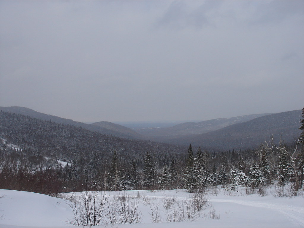 Sentier Du Versant SudHikingPhoto: sambouchard418, CC BY-SA 2.0 (via Flickr)7.4 mi
- Sentier Des Trois PiquetsHiking8 mi
- Sentier éCologique De La Haute EtcheminHiking8.1 mi
 Sentier De La SlousseHikingPhoto: Pierre-Arnaud KOPP from REIGNIER, France, CC BY 2.0 (via Wikimedia Commons)8.2 mi
- Sentier Des GéantsHikingPhoto: Pierre-Arnaud KOPP from REIGNIER, France, CC BY 2.0 (via Wikimedia Commons)8.2 mi
Source: Roamze catalog (indexable pages within 10 miles, PostGIS distance)
 Sentier Du Lac CaribouHiking · ~8 min drivePhoto: Marie Thérèse Hébert & Jean Robert Thibault, CC BY-SA 2.0 (via Flickr)
- Sentier Des GéantsHiking · ~14 min drivePhoto: Pierre-Arnaud KOPP from REIGNIER, France, CC BY 2.0 (via Wikimedia Commons)
 Sentier De La TraverséeHiking · ~18 min drivePhoto: sambouchard418, CC BY-SA 2.0 (via Flickr)
- Sentier Du Versant SudHiking · ~13 min drivePhoto: sambouchard418, CC BY-SA 2.0 (via Flickr)
 Sentier Des DryadesHiking · ~15 min drivePhoto: Pierre-Arnaud KOPP from REIGNIER, France, CC BY 2.0 (via Wikimedia Commons)
- Sentier Des OrignauxHiking · ~27 min drive
- Sentier De La SlousseHiking · ~14 min drivePhoto: Pierre-Arnaud KOPP from REIGNIER, France, CC BY 2.0 (via Wikimedia Commons)
- Sentier Du Mont-ChocolatHiking · ~16 min drivePhoto: Pierre-Arnaud KOPP from REIGNIER, France, CC BY 2.0 (via Wikimedia Commons)
- Sentier Des SourcesHiking · ~15 min drivePhoto: Pierre-Arnaud KOPP from REIGNIER, France, CC BY 2.0 (via Wikimedia Commons)
- Sentier Des RavagesHiking · ~18 min drivePhoto: Pierre-Arnaud KOPP from REIGNIER, France, CC BY 2.0 (via Wikimedia Commons)
Also worth it near here
Best time to visit Sentier Le Morne à Giroux
Best months: May–June and August–September. Best months have typical highs of 55–85 °F, lows of 30 °F or warmer (32 °F where the station doesn't record snow), at most one snowy day and no more than 12 wet days.
Jan
20° / -4°
10 wet
Feb
23° / -4°
9 wet
Mar
34° / 7°
9 wet
Apr
46° / 25°
10 wet
May
61° / 37°
11 wet
Jun
71° / 47°
12 wet
Jul
76° / 52°
13 wet
Aug
74° / 50°
10 wet
Sep
66° / 41°
10 wet
Oct
51° / 31°
12 wet
Nov
38° / 22°
11 wet
Dec
26° / 7°
11 wet
Typical high / low (°F) and days with rain or snow, 1991–2020. Measured at Clayton Lake, ME, 44.8 mi away at 1,000 ft. The station sits about 1,100 ft lower than this place, so expect it a little cooler here. This station doesn't record snowfall. Source: NOAA NCEI U.S. Climate Normals 1991–2020.

Map and trail data © OpenStreetMap contributors
