Mount Coe Trail
- 2.7 mi
- one way
- 1,812 ft
- climb
- 3,781 ft
- high point
- Point to point
- route
Mount Coe Trail is a 2.7-mile hike in Baxter State Park in Maine, rising from about 2,130 feet to the high point of 3,781 feet. It is a moderate route with a total elevation gain of 1,812 feet, and the climb is steepest near the 1.4-mile mark, where the grade reaches about 55%. The trail is a point-to-point path, and it ends with a loss of about 480 feet on the way down. The route lies within Baxter State Park, which is managed by State Park and Recreation. Bikes and horses are not allowed on this trail. The trip takes about two hours, and the Marston Trail starts just 0.1 mile away. The Oji Link and Oji Trail are both within about a mile and a half. Climbers can head to the North Basin area, roughly 6 miles off.
Local outfitters
- Northeast Whitewater48 mi away
Not on Roamze yet. Their page has how to reach them.
- Marston TrailHiking0.1 mi
- Oji LinkHiking1.1 mi
- Oji TrailHiking1.5 mi
- North Brother TrailHiking1.5 mi
 North BasinRock climbingPhoto: Famartin, CC BY-SA 4.0 (via Wikimedia Commons)5.9 mi
- Chimney Pond ("South") Basin - Summer Rock RoutesRock climbing5.9 mi
- West Branch Penobscot RiverRiver fishing8 mi
- KatahdinRock climbing8.5 mi
Source: Roamze catalog (indexable pages within 10 miles, PostGIS distance)
 Slaughter PondHiking · ~5 min drivePhoto: flatluigi, CC BY 2.0 (via Flickr)
 Owl TrailHiking · ~7 min drivePhoto: barry.pousman, CC BY 2.0 (via Flickr)
- Hunt TrailHiking · ~7 min drivePhoto: barry.pousman, CC BY 2.0 (via Flickr)
- Doubletop TrailHiking · ~3 min drive
- Appalachian TrailHiking · ~7 min drivePhoto: barry.pousman, CC BY 2.0 (via Flickr)
- Sentinel Mountain TrailHiking · ~7 min drivePhoto: flatluigi, CC BY 2.0 (via Flickr)
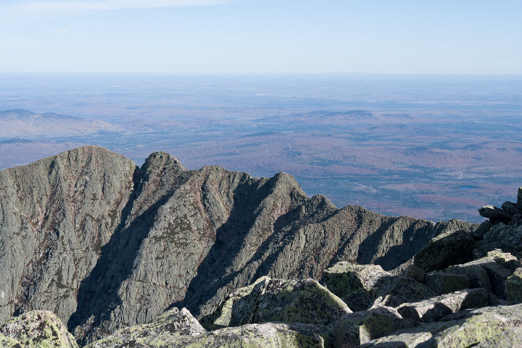 North Peaks TrailHiking · ~8 min drivePhoto: Pat Spinney, CC BY 2.0 (via Flickr)
 Baxter Peak Cutoff TrailHiking · ~9 min drivePhoto: barry.pousman, CC BY 2.0 (via Flickr)
- Lily Pad Pond TrailHiking · ~7 min drivePhoto: flatluigi, CC BY 2.0 (via Flickr)
- Abol Slide TrailHiking · ~9 min drivePhoto: barry.pousman, CC BY 2.0 (via Flickr)
Route details
- Distance
- 2.7 mi
- Climbing
- About 1,812 ft
- Summit
- 3,781 ft
- Difficulty
- Moderate
- Time
- About 2 hours
Questions about this route
How long is the Mount Coe Trail on Mount Coe?
About 2.7 mi.
How much elevation gain is on the Mount Coe Trail?
About 1,812 ft of climbing round trip.
How hard is the Mount Coe Trail?
It is rated moderate.
How long does the Mount Coe Trail take?
About 2 hours round trip.
Conditions and forecast on Mount Coe
Daily highs and lows, wind and the chance of precipitation at the summit and route start for the next 7 days, from the Open-Meteo model.
Map and trail data © OpenStreetMap contributors
