Slaughter Pond
 Photo: flatluigi, CC BY 2.0 (via Flickr)
- 0.7 mi
- round trip
- 110 ft
- climb
- 1,095 ft
- high point
- Out and back
- route
- May–Sep
- best months
Slaughter Pond is an easy, short out-and-back hike in Baxter State Park in northern Maine. The trail is about 0.7 miles long, and the climb from the low point of 1,063 feet to the high point of 1,095 feet is steady, with a total gain of 110 feet. The steepest part comes around 0.5 miles in, at about a 5% grade. Summer is the most comfortable time to go. July typically averages highs around 76°F and lows near 55°F, based on typical averages from a nearby weather station in Patten, and September stays mild with highs around 67°F. The hike takes about half an hour. Slaughter Pond Trail lies about half a mile away, and Rocky Pond Trail and Sentinel Mountain Trail are each within about a mile and a half. West Branch Penobscot River offers river fishing roughly 6 miles off.
Local outfitters
- Northeast Whitewater46 mi away
Not on Roamze yet. Their page has how to reach them.
Best time to go · May–Sep
Best time to visit Slaughter Pond
Best months: May–September. Best months have typical highs of 55–85 °F, lows of 30 °F or warmer (32 °F where the station doesn't record snow), at most one snowy day and no more than 12 wet days.
Jan
22° / 3°
Feb
25° / 6°
Mar
34° / 16°
Apr
48° / 29°
May
62° / 40°
Jun
72° / 49°
Jul
76° / 55°
Aug
75° / 54°
Sep
67° / 45°
Oct
53° / 35°
Nov
41° / 25°
Dec
29° / 13°
Typical high / low (°F) and days with rain or snow, 1991–2020. Measured at Patten 2, ME, 27.6 mi away at 820 ft. This station doesn't record snowfall. Source: NOAA NCEI U.S. Climate Normals 1991–2020.
Keep exploring — more trails worth the drive
Photo: flatluigi, CC BY 2.0 (via Flickr)Sentinel Mountain Trail
~2 min drive
3.48-mile point-to-point trail in Maine with 1,204 ft elevation gain
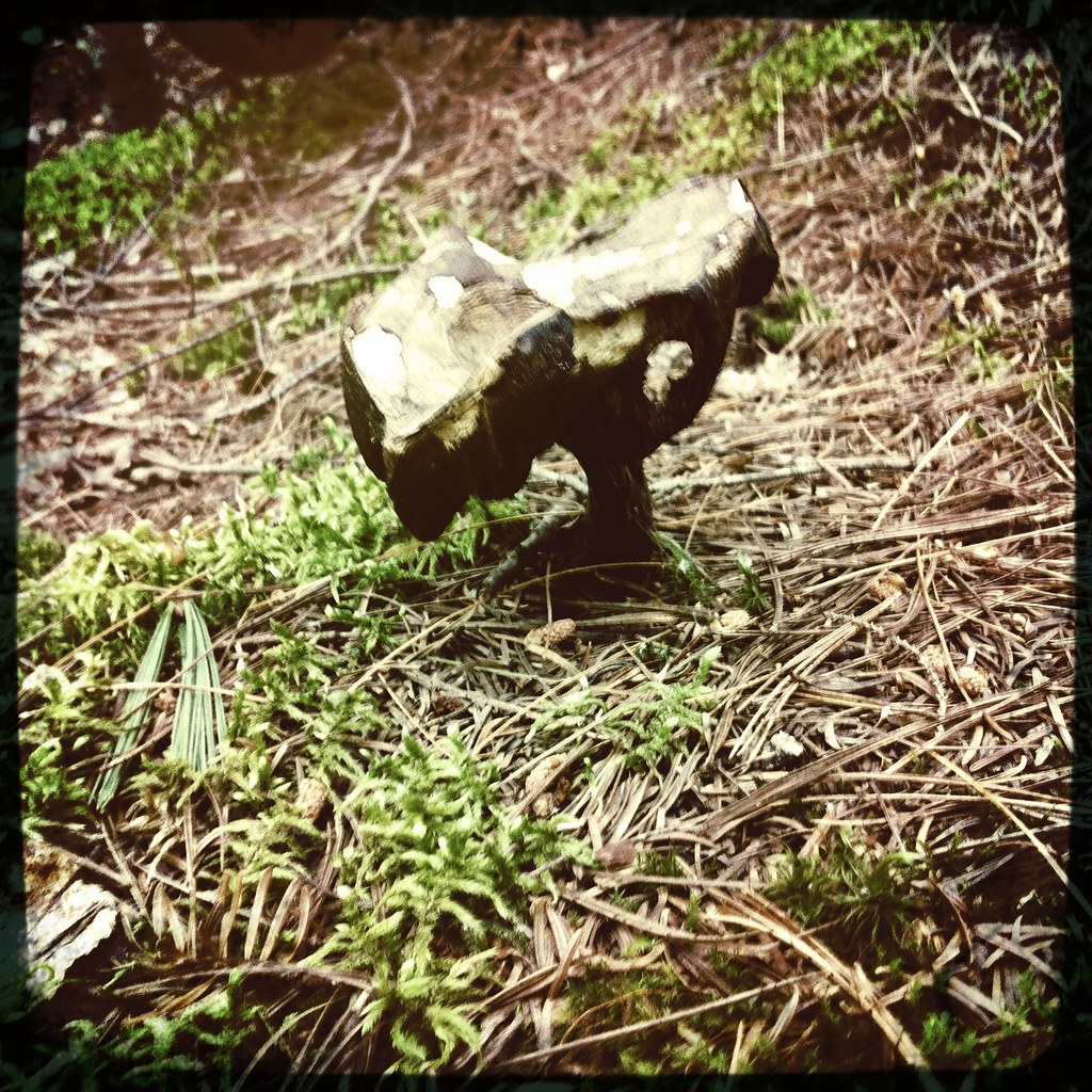 Photo: barry.pousman, CC BY 2.0 (via Flickr)
Appalachian Trail
~4 min drive
2.9-mile out-and-back on the Appalachian Trail in Maine with 350 ft gain
 Photo: barry.pousman, CC BY 2.0 (via Flickr)
Abol Slide Trail
~9 min drive
2.87-mile point-to-point trail in Maine with 192 ft gain and 3,388 ft loss.
HIKE
Doubletop Trail
~3 min drive
A 7.67-mile point-to-point Maine trail with moderate elevation and scenic views.
Photo: flatluigi, CC BY 2.0 (via Flickr)Lily Pad Pond Trail
~3 min drive
0.34-mile out-and-back trail in Maine with 29 ft gain and 87 ft loss.
Photo: barry.pousman, CC BY 2.0 (via Flickr)Baxter Peak Cutoff Trail
~9 min drive
0.92-mile point-to-point trail in Maine with 291 ft elevation gain.
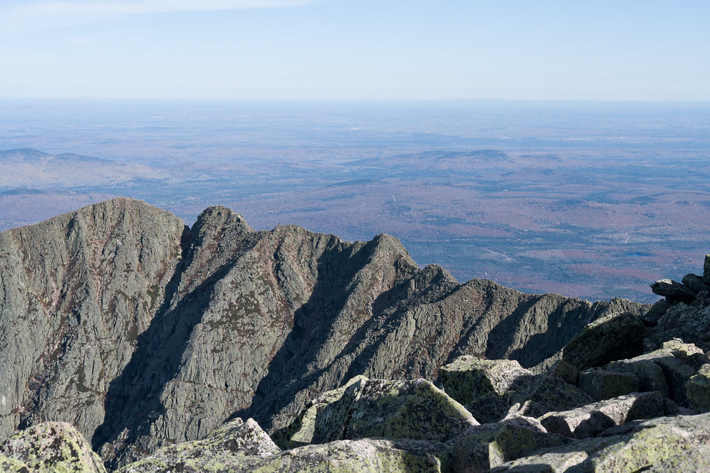 Photo: Pat Spinney, CC BY 2.0 (via Flickr)
North Peaks Trail
~10 min drive
5.16-mile point-to-point trail in Maine with 243 ft gain and 3,332 ft loss
Photo: barry.pousman, CC BY 2.0 (via Flickr)Owl Trail
~5 min drive
Owl Trail is a 1.97-mile point-to-point trail in Maine with 2,169 ft of elevation gain.
HIKE
Slaughter Pond Trail
Next door
0.96-mile out-and-back hike with 176 ft gain in Maine.
Photo: barry.pousman, CC BY 2.0 (via Flickr)Hunt Trail
~5 min drive
9.42-mile out-and-back trail in Maine with 4,319 ft gain and 5,209 ft max elevation.
Map and trail data © OpenStreetMap contributors
