Prairie Campground
Campground
Campground · 2.4 mi from the trail
 Photo: Stephen Hanafin, CC BY-SA 2.0 (via Wikimedia Commons)
Alert in the area
The Forest Service lists 4 alerts for Sawtooth National Forest.
Paradise Prescribed Burn Restricted Access
Agency alert covering Sawtooth National Forest · USFS · Sawtooth National Forest
Grandjean Area, Road, and Trail Closure
Agency alert covering Sawtooth National Forest · Order 0414-04-165 · USFS · Sawtooth National Forest
Over-Snow Vehicle and Bicycle Prohibitions
Agency alert covering Sawtooth National Forest · Order 0414-00-028 · USFS · Sawtooth National Forest
Occupancy and Use - Food Storage
Agency alert covering Sawtooth National Forest · Order 0414-04-143 · USFS · Sawtooth National Forest
As of · Source: USFS · Sawtooth National Forest. Agencies don't list every closure — check before you go.
Easley Peak is a summit of about 11,124 feet in Blaine County, Idaho, inside the Hemingway-Boulders Wilderness. The peak lies within the Sawtooth National Recreation Area of the Sawtooth National Forest, which the Forest Service manages, and the nearest town is Ketchum, about 15 miles away. The peak sits in designated wilderness, so plan around the rules that apply there. Several other destinations are close by. King Creek North and King Creek are hikes about 2 to 2.4 miles away, and the Billy Goat Buttress climbing area is about 2 miles off. For an overnight base, Wood River Campground is roughly 7.4 miles away.
Prairie Campground
Campground
Wrapcity
Restaurant
Sun Valley Museum of Art
Museum
Places © OpenStreetMap contributors, Places © Overture Maps Foundation
More in KetchumDaily highs and lows, wind and the chance of precipitation at the summit for the next 7 days, from the Open-Meteo model.
Elevation from USGS 3D Elevation Program terrain data (about 10 m resolution).
We don't know of a mapped trail or route to the summit of Easley Peak. Plan the approach with local maps, a guidebook or a local guide, and check conditions before you go.
11,124 ft (3,391 m).
We don't know of a mapped trail or route to the summit. Plan the approach with local maps, a guidebook or a local guide.

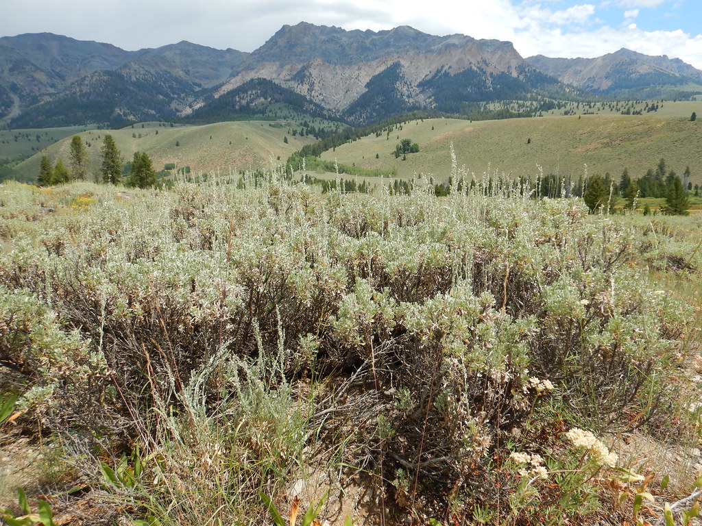 PRAIRIE CREEK CONNECTOR SKIHikingPhoto: Matt Lavin, CC BY-SA 2.0 (via Flickr)2.5 mi
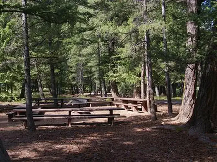 Wood River Group Overnight Area (tent Only)CampingPhoto: Recreation.gov (RIDB) / public domain7.4 mi
Source: Roamze catalog (indexable pages within 10 miles, PostGIS distance)
 Silver PeakSummit · ~4 min drivePhoto: Frank Kovalchek, CC BY 3.0 (via Wikimedia Commons)
 Glassford PeakSummit · ~11 min drivePhoto: Frank Kovalchek from Anchorage, Alaska, USA, CC BY 2.0 (via Wikimedia Commons)
 Kent PeakSummit · ~16 min drivePhoto: Fredlyfish4, CC BY-SA 3.0 (via Wikimedia Commons)
 Baker PeakSummit · ~23 min drivePhoto: Fredlyfish4, CC BY-SA 3.0 (via Wikimedia Commons)
 Merriam PeakSummit · ~24 min drivePhoto: Fredlyfish4, CC BY-SA 4.0 (via Wikimedia Commons)
 Big PeakSummit · ~25 min drivePhoto: Fredlyfish4, CC BY-SA 3.0 (via Wikimedia Commons)
 Blackmon PeakSummit · ~25 min drivePhoto: Leaflet, CC BY-SA 4.0 (via Wikimedia Commons)
 Bald MountainSummit · ~28 min drivePhoto: Sam Beebe, CC BY-SA 2.0 (via Wikimedia Commons)
 McDonald PeakSummit · ~30 min drivePhoto: Fredlyfish4, CC BY-SA 3.0 (via Wikimedia Commons)
 Lee PeakSummit · ~30 min drivePhoto: Leaflet, CC BY-SA 4.0 (via Wikimedia Commons)
