Corn Creek Boat Ramp
- Apr–Jun, Sep–Oct
- best months
Get a permit
Main Salmon River (Corn Creek to Long Tom Bar) · river launch
Reserve on Recreation.govIs Corn Creek Boat Ramp open right now?
Alert in the area
The Forest Service lists an alert for Salmon-Challis National Forest.
Stoddard Bridge Construction Closure
Agency alert covering Salmon-Challis National Forest · Order 0413-07-17 · USFS · Salmon-Challis National Forest
As of · Source: USFS · Salmon-Challis National Forest. Agencies don't list every closure — check before you go.
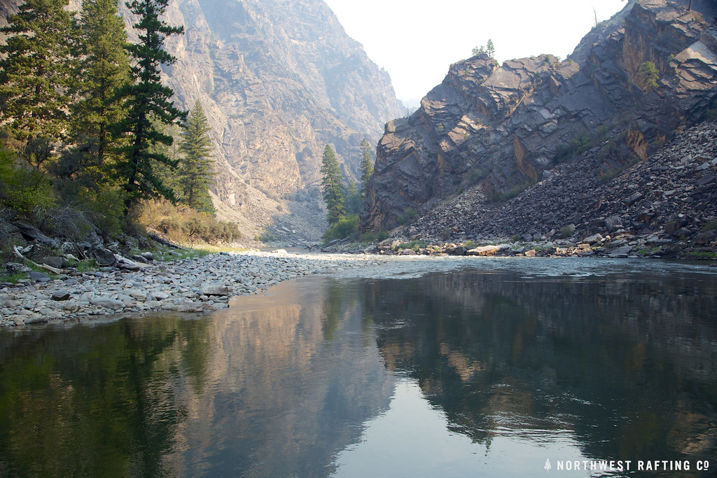
Corn Creek Boat Ramp is a Forest Service boat launch in the North Fork Ranger District of Idaho's Salmon-Challis National Forest, about 19 miles from the town of Upper Crossing. It sits right beside Corn Creek Campground Complex and the Lower Salmon River trail, making it an easy stop for paddlers and campers heading into the area. Summer is the most comfortable time to visit. Typical averages from a nearby weather station in Shoup, Idaho, run to highs around 79°F in June and 90°F in July, with July and August lows in the mid-50s. Winters are cold, with January highs near 31°F and lows around 17°F. The ramp pairs well with an overnight stay at Corn Creek Campground Complex, just 0.1 mile away. The Butts Point hike is 0.3 mile off, and the Skunk Camp and Cottonwood Butte hikes are both within about 3 miles.
- Managed by
- Forest Service
- Lower Salmon RiverHiking0.1 mi
- Corn Creek Campground ComplexCamping0.1 mi
- Butts PointHiking0.3 mi
- Skunk CampHiking2.8 mi
- Cottonwood ButteHiking2.9 mi
- Horse Creek TrailHiking3.3 mi
- Horse CreekCanoeing8.4 mi
- Ebenezer CampgroundCamping9.5 mi
Source: Roamze catalog (indexable pages within 10 miles, PostGIS distance)
 Selway RiverCanoeing · ~30 min drivePhoto: U.S. Forest Service, Public domain (via Wikimedia Commons)
- Cache Bar Boat RampBoat launch · ~7 min drive
- Cache Bar Boat RampFloat trip · ~7 min drive
- Horse CreekCanoeing · ~14 min drive
- Confluence TakeoutBoat launch · ~11 min drive
- RomboFloat trip · ~58 min drive
- McCalla CreekCanoeing · ~31 min drive
- Duncans Outpost Boat RampBoat launch · ~24 min drive
- Chamberlain CreekCanoeing · ~37 min drive
- Spring Creek Boat RampBoat launch · ~36 min drive
Best time to visit Corn Creek Boat Ramp
Best months: April–June and September–October. Best months have typical highs of 55–85 °F, lows of 30 °F or warmer (32 °F where the station doesn't record snow), at most one snowy day and no more than 12 wet days.
Jan
31° / 17°
Feb
37° / 20°
Mar
52° / 30°
Apr
61° / 36°
May
71° / 42°
Jun
79° / 48°
Jul
90° / 54°
Aug
89° / 52°
Sep
77° / 45°
Oct
60° / 35°
Nov
42° / 27°
Dec
31° / 19°
Typical high / low (°F) and days with rain or snow, 1991–2020. Measured at Shoup, ID, 20 mi away at 3,400 ft. This station doesn't record snowfall. Source: NOAA NCEI U.S. Climate Normals 1991–2020.
Map and trail data © OpenStreetMap contributors
