Birch Creek
- 46.0 mi
- distance
- 6,668 ft
- high point
- May–Sep
- best months
Clear today
Weather is good · OpenWeather · checked 10 h ago
Birch Creek is a 46-mile paddling stretch near Monteview, Idaho, on land managed by the Bureau of Land Management's Upper Snake Field Office. It is a long, continuous route with a gradient of about 41 feet per mile, and a typical average flow of about 162 cubic feet per second, according to USGS models. But the creek is intermittent and may run dry in some seasons, so plan for a variable water level. Summer is the most comfortable time to paddle. Typical averages from a nearby weather station show July highs around 83°F with lows near 51°F, while winter highs stay in the 20s. Birch Creek Campground sits about 2 miles away for overnight stays. Long Canyon is about 3.6 miles off, and Middle Fork Pass Creek and the Eightmile Trail are both within about 6 miles.
- Birch Creek CampgroundCamping2.1 mi
- LONG CANYONHiking3.6 mi
- MIDDLE FORK PASS CREEKHiking5.6 mi
- Eightmile TrailHiking5.9 mi
- PASS CREEK LAKEHiking6 mi
- Pierce CanyonHiking8.5 mi
- Uncle Ike MinesHiking9.6 mi
Source: Roamze catalog (indexable pages within 10 miles, PostGIS distance)
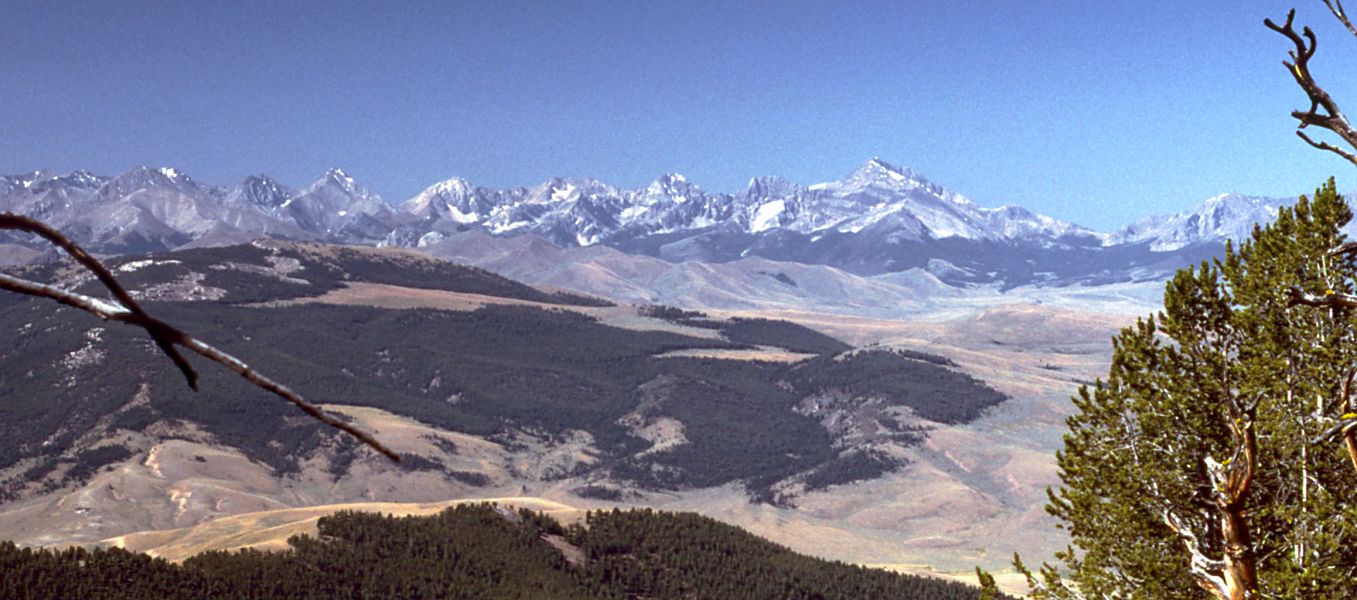 Little Lost RiverCanoeing · ~28 min drivePhoto: G. Thomas at English Wikipedia, Public domain (via Wikimedia Commons)
- Rothwell Recreation SiteBoat launch · ~57 min drive
 Big Lost RiverCanoeing · ~1h 1m drivePhoto: Matt Lavin from Bozeman, Montana, USA, CC BY-SA 2.0 (via Wikimedia Commons)
 Red Rock RiverCanoeing · ~1h 17m drivePhoto: myself, CC BY-SA 2.5 (via Wikimedia Commons)
- Mud CreekCanoeing · ~34 min drive
- Medicine Lodge CreekCanoeing · ~39 min drive
- Wet CreekCanoeing · ~42 min drive
- Sawmill CreekCanoeing · ~45 min drive
- Summit CreekCanoeing · ~45 min drive
- Pass CreekCanoeing · ~52 min drive
Also worth it near here
- Lemhi RangeRock climbing · ~18 min drive
 Middle CanyonHiking · ~27 min drivePhoto: Matt Lavin, CC BY-SA 2.0 (via Flickr)
 Bell MountainSummit · ~30 min drivePhoto: Forest Service Northern Region from Missoula, MT, USA, CC BY 2.0 (via Wikimedia Commons)
- Mud LakeLake fishing · ~45 min drive
- Loristica Group CampgroundCamping · ~50 min drive
Best time to visit Birch Creek
Best months: May–September. Best months have typical highs of 55–85 °F, lows of 30 °F or warmer (32 °F where the station doesn't record snow), at most one snowy day and no more than 12 wet days.
Jan
28° / 11°
Feb
32° / 13°
Mar
43° / 23°
Apr
54° / 30°
May
65° / 38°
Jun
73° / 44°
Jul
83° / 51°
Aug
82° / 49°
Sep
71° / 41°
Oct
55° / 30°
Nov
40° / 20°
Dec
29° / 12°
Typical high / low (°F) and days with rain or snow, 1991–2020. Measured at Small 6n, ID, 27 mi away at 5,740 ft. The station sits about 900 ft lower than this place, so expect it a little cooler here. This station doesn't record snowfall. Source: NOAA NCEI U.S. Climate Normals 1991–2020.
