Medicine Lodge Creek
- 40.4 mi
- distance
- 6,433 ft
- high point
- May–Sep
- best months
Medicine Lodge Creek is a 40-mile paddling stretch near Dubois, Idaho. It is intermittent and may run dry in some seasons. USGS models an average flow of about 69 cfs and a gradient of about 39.1 feet per mile. Land along it is managed by the Bureau of Land Management.
 Red Rock RiverCanoeing · ~58 min drivePhoto: myself, CC BY-SA 2.5 (via Wikimedia Commons)
- Lyons Bridge Boating SiteBoat launch · ~54 min drive
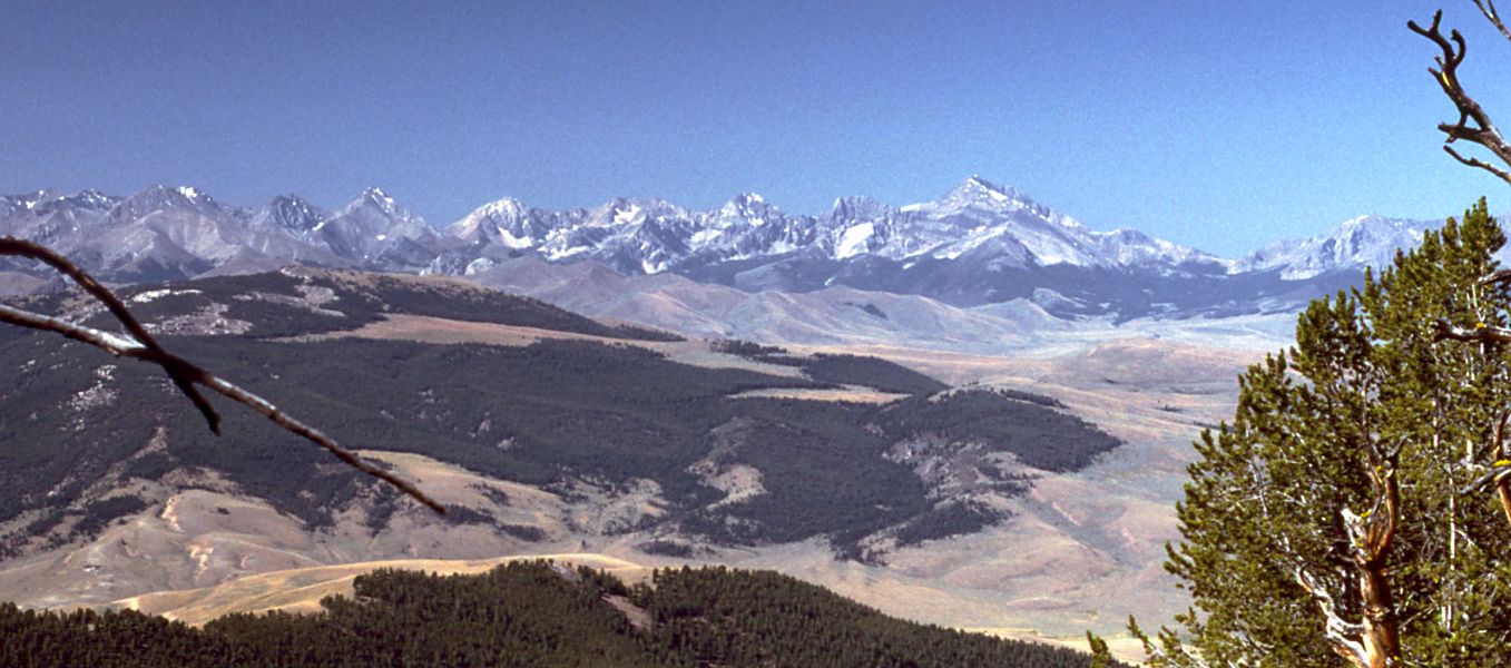 Little Lost RiverCanoeing · ~1h 7m drivePhoto: G. Thomas at English Wikipedia, Public domain (via Wikimedia Commons)
- Menan ButteBoat launch · ~1h 14m drive
- Beaver CreekCanoeing · ~22 min drive
- West End Boat RampBoat launch · ~1h 22m drive
- Camas CreekCanoeing · ~36 min drive
- Red Road Bridge Boat AccessBoat launch · ~1h 12m drive
- Birch CreekCanoeing · ~39 min drive
- Trestle BridgeBoat launch · ~1h 15m drive
Best time to visit Medicine Lodge Creek
Best months: May–September. Best months have typical highs of 55–85 °F, lows of 30 °F or warmer (32 °F where the station doesn't record snow), at most one snowy day and no more than 12 wet days.
Jan
28° / 11°
Feb
32° / 13°
Mar
43° / 23°
Apr
54° / 30°
May
65° / 38°
Jun
73° / 44°
Jul
83° / 51°
Aug
82° / 49°
Sep
71° / 41°
Oct
55° / 30°
Nov
40° / 20°
Dec
29° / 12°
Typical high / low (°F) and days with rain or snow, 1991–2020. Measured at Small 6n, ID, 4.4 mi away at 5,740 ft. The station sits about 700 ft lower than this place, so expect it a little cooler here. This station doesn't record snowfall. Source: NOAA NCEI U.S. Climate Normals 1991–2020.

