Summit Creek
- 16.4 mi
- distance
- 6,511 ft
- high point
- May–Sep
- best months
Summit Creek is a 16-mile paddling stretch near May, Idaho, on Bureau of Land Management land within the Upper Snake Field Office. It is a 16.35-mile route with a gradient of about 30.6 feet per mile, and typical average flow runs about 83 cubic feet per second. The creek is intermittent, so it may run dry in some seasons. Summer is the most comfortable time to paddle. Typical averages from a nearby weather station in Mackay, about 25 miles away, show July highs around 83°F and lows near 50°F, with fewer wet days than spring or fall. Sawmill Creek, another paddling route, lies about 4 miles away. For hiking, Bear Canyon-Sawmill and Warm Creek Trail are both within about 6 miles. Summerhouse Canyon is roughly 7 miles off.
- Sawmill CreekCanoeing4 mi
- BEAR CANYON-SAWMILLHiking4.8 mi
- WARM CREEK TRAILHiking5.8 mi
- SUMMERHOUSE CANYONHiking7.1 mi
- BIRCH BASIN TRAILHiking9.3 mi
- Jackson CreekHiking9.3 mi
- Wet CreekCanoeing9.5 mi
- FOSS MOUNTAIN TRAILHiking9.7 mi
Source: Roamze catalog (indexable pages within 10 miles, PostGIS distance)
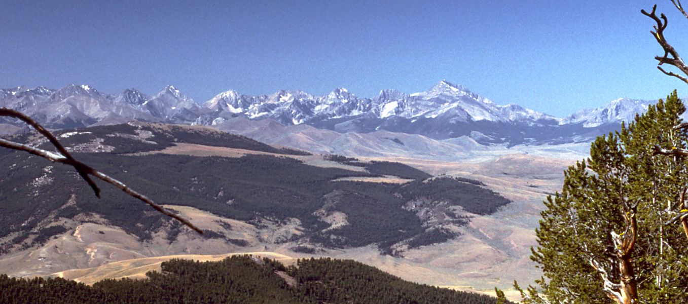 Little Lost RiverCanoeing · ~36 min drivePhoto: G. Thomas at English Wikipedia, Public domain (via Wikimedia Commons)
- Rothwell Recreation SiteBoat launch · ~47 min drive
 Big Lost RiverCanoeing · ~44 min drivePhoto: Matt Lavin from Bozeman, Montana, USA, CC BY-SA 2.0 (via Wikimedia Commons)
- Challis Bridge Boat RampBoat launch · ~1h 15m drive
 Lemhi RiverCanoeing · ~1h 3m drivePhoto: BLMIdaho, Public domain (via Wikimedia Commons)
- Deadman Hole Boat RampBoat launch · ~1h 16m drive
- Sawmill CreekCanoeing · ~7 min drive
- Dugway River AccessBoat launch · ~1h 17m drive
- Wet CreekCanoeing · ~16 min drive
- Cottonwood Campground Boat RampBoat launch · ~1h 18m drive
Best time to visit Summit Creek
Best months: May–September. Best months have typical highs of 55–85 °F, lows of 30 °F or warmer (32 °F where the station doesn't record snow), at most one snowy day and no more than 12 wet days.
Jan
30° / 8°
6 wet
Feb
34° / 12°
5 wet
Mar
44° / 22°
6 wet
Apr
54° / 29°
6 wet
May
65° / 37°
8 wet
Jun
73° / 43°
7 wet
Jul
83° / 50°
5 wet
Aug
82° / 48°
5 wet
Sep
72° / 40°
5 wet
Oct
58° / 31°
5 wet
Nov
41° / 19°
6 wet
Dec
29° / 10°
7 wet
Typical high / low (°F) and days with rain or snow, 1991–2020. Measured at Mackay Lost Rvr Rs, ID, 25.4 mi away at 5,897 ft. The station sits about 600 ft lower than this place, so expect it a little cooler here. This station doesn't record snowfall. Source: NOAA NCEI U.S. Climate Normals 1991–2020.

