Pass Creek Lake
- 2.3 mi
- round trip
- 1,482 ft
- climb
- 7,978 ft
- high point
- Out and back
- route
Caution at last check
Agency alerts are in effect for this area; weather is marginal · USFS, OpenWeather · checked 23 h ago
Is PASS CREEK LAKE open right now?
No closures listed
The Forest Service lists no closures for Caribou-Targhee National Forest.
As of · Source: USFS · Caribou-Targhee National Forest. Agencies don't list every closure — check before you go.
Pass Creek Lake is a 4.7-mile out-and-back hike in Idaho's Caribou-Targhee National Forest, within the Forest Service's Dubois Ranger District. The trail climbs from about 7,047 feet to 7,978 feet, with a total elevation gain of 1,482 feet over the course of the trip. That makes it a moderate route, and the steepest stretch comes early, around the 0.3-mile mark, with a 24% grade. The trail starts from the Eightmile Trail, which lies just 0.1 mile away. For a longer outing, the Middle Fork Pass Creek hike is about 4.7 miles away, and the Uncle Ike Mines hike is about 3.6 miles away. Paddlers can find Birch Creek about 6 miles off, and Birch Creek Campground is about 6.8 miles away.
- Eightmile TrailHiking0.1 mi
- Uncle Ike MinesHiking3.6 mi
- MIDDLE FORK PASS CREEKHiking4.7 mi
- NORTH CREEK CLAIMS TRAILHiking5.7 mi
- Birch CreekCanoeing6 mi
- NORTH CREEK TRAILHiking6.1 mi
- Birch Creek CampgroundCamping6.8 mi
- Lemhi RangeRock climbing7 mi
Source: Roamze catalog (indexable pages within 10 miles, PostGIS distance)
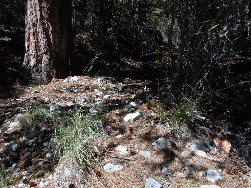 Middle CanyonHiking · ~21 min drivePhoto: Matt Lavin, CC BY-SA 2.0 (via Flickr)
 BLACK CANYONHiking · ~21 min drivePhoto: Matt Lavin, CC BY-SA 2.0 (via Flickr)
- Eightmile TrailHiking · Next door
- NORTH CREEK TRAILHiking · ~11 min drive
- Middle Canyon TrailHiking · ~22 min drivePhoto: Matt Lavin, CC BY-SA 2.0 (via Flickr)
- BADGER CREEK MINEHiking · ~13 min drive
- SOUTH CREEKHiking · ~18 min drive
- MYERS CREEKHiking · ~38 min drive
- NORTH CREEK CLAIMS TRAILHiking · ~10 min drive
- Badger Creek TrailHiking · ~13 min drive
Also worth it near here
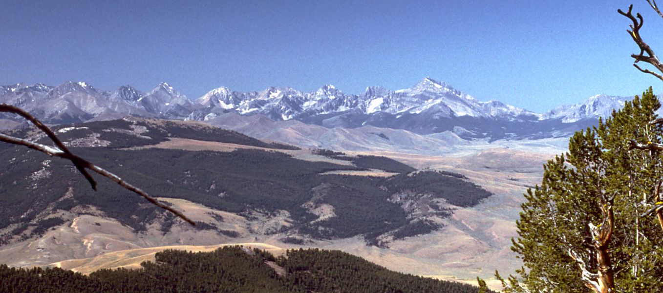 Little Lost RiverCanoeing · ~18 min drivePhoto: G. Thomas at English Wikipedia, Public domain (via Wikimedia Commons)
- Box CanyonRock climbing · ~25 min drive
 Bell MountainSummit · ~26 min drivePhoto: Forest Service Northern Region from Missoula, MT, USA, CC BY 2.0 (via Wikimedia Commons)
- Loristica Group CampgroundCamping · ~41 min drive
