Mountain View
Campground
Campground · 3.9 mi from the trail
Closure in the area
There's a closure order in Boise National Forest. It doesn't name Wayout Trail, so check the source for the area it covers.
UPDATED Sept. 19 - Crooked Fire Area, Road, and Trail Closure
Agency closure covering Boise National Forest · Order 0402-03-140 · USFS · Boise National Forest
Lava Fire Road Closure
Agency alert covering Boise National Forest · Order 0402-06-84 · USFS · Boise National Forest
As of · Source: USFS · Boise National Forest. Agencies don't list every closure — check before you go.
Wayout Trail is a 1.6-mile out-and-back route in Idaho with 308 feet of elevation gain. The trail reaches a maximum elevation of 6,433 feet.
Mountain View
Campground
Diamond Lil's Restaurant & Saloon
Restaurant
 If it rainsj.a.woodhouse from United States, CC BY 2.0 · Wikimedia Commons
Places © OpenStreetMap contributors · Photos: j.a.woodhouse from United States, CC BY 2.0 (commons)
More in Idaho CityNot on Roamze yet. Their page has how to reach them.
Best months: June–August. Best months have typical highs of 55–85 °F, lows of 30 °F or warmer (32 °F where the station doesn't record snow), at most one snowy day and no more than 12 wet days.
Jan
29° / 4°
12 wet
Feb
35° / 7°
12 wet
Mar
42° / 14°
14 wet
Apr
49° / 21°
12 wet
May
60° / 30°
12 wet
Jun
69° / 35°
10 wet
Jul
80° / 39°
6 wet
Aug
80° / 37°
5 wet
Sep
70° / 31°
7 wet
Oct
55° / 24°
9 wet
Nov
39° / 14°
12 wet
Dec
28° / 6°
14 wet
Typical high / low (°F) and days with rain or snow, 1991–2020. Measured at Stanley Rs, ID, 34.2 mi away at 6,495 ft. This station doesn't record snowfall. Source: NOAA NCEI U.S. Climate Normals 1991–2020.
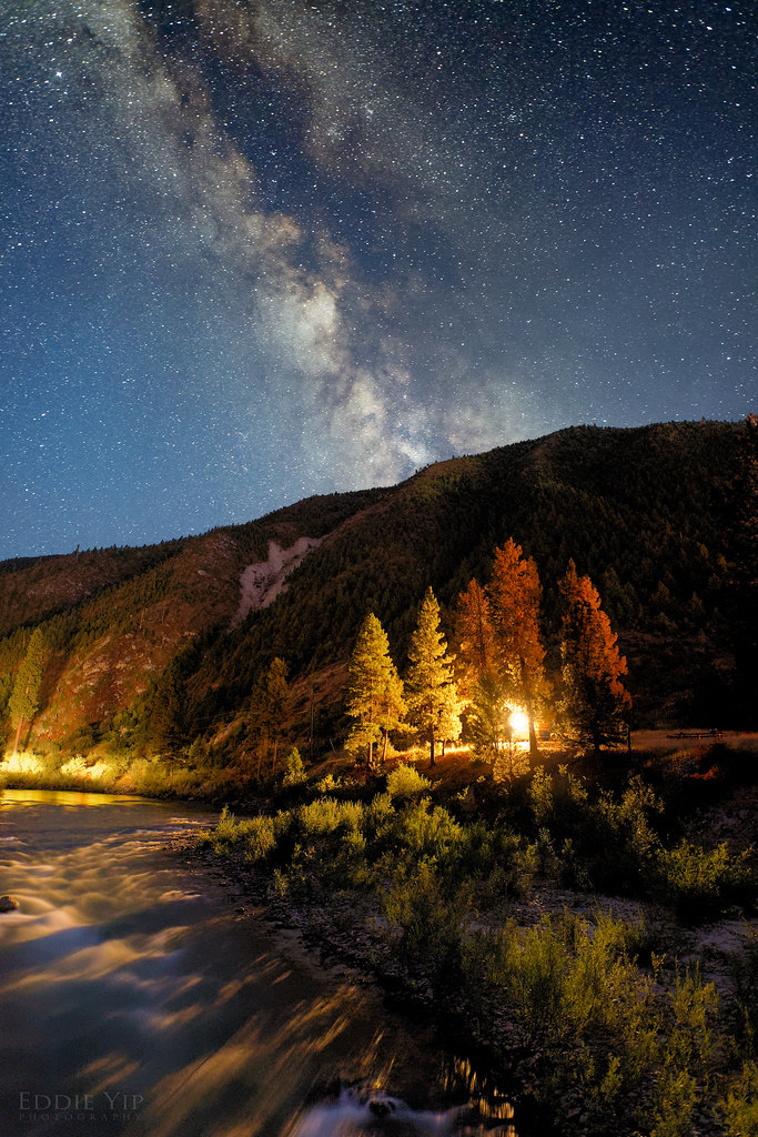 Photo: Eddie Yip, CC BY-SA 2.0 (via Flickr)
KIRKHAM RIDGE
~8 min drive
3.16-mile out-and-back trail in Idaho with 2,063 ft elevation gain and loss.
HIKE
Cougar Trail
Next door
1.9-mile out-and-back hike in Idaho with 410 ft elevation gain.
HIKE
Beaver
~4 min drive
15.24-mile out-and-back trail in Idaho with 1885 feet of elevation gain.
HIKE
EDNA/ROCK CREEK
~6 min drive
38.92-mile out-and-back trail in Idaho with 4,510 ft elevation gain and loss.
HIKE
Ralph's
~2 min drive
4.32-mile out-and-back trail in Idaho with 197 ft elevation gain.
HIKE
Aspen Grove
Next door
0.64-mile out-and-back trail in Idaho with 36 ft of elevation gain.
HIKE
Crooked River
~8 min drive
23.38-mile out-and-back trail in Idaho with 626 ft elevation gain.
HIKE
CROOKED PIKE LOOP
~9 min drive
18.52-mile out-and-back trail in Idaho with 3,172 ft gain/loss
HIKE
Skyline
~3 min drive
4.42-mile loop trail in Idaho with 561 ft gain.
HIKE
Alpine
~1 min drive
5.3-mile out-and-back trail in Idaho with 389 ft elevation gain.
Map and trail data © OpenStreetMap contributors

