Mountain View
Campground
Campground · 3.3 mi from the trail
Closure in the area
There's a closure order in Boise National Forest. It doesn't name Aspen Grove, so check the source for the area it covers.
UPDATED Sept. 19 - Crooked Fire Area, Road, and Trail Closure
Agency closure covering Boise National Forest · Order 0402-03-140 · USFS · Boise National Forest
Lava Fire Road Closure
Agency alert covering Boise National Forest · Order 0402-06-84 · USFS · Boise National Forest
As of · Source: USFS · Boise National Forest. Agencies don't list every closure — check before you go.
Aspen Grove is a short out-and-back trail in Idaho covering 0.64 miles with 36 feet of elevation gain. The trail is managed by the Forest Service.
Mountain View
Campground
Diamond Lil's Restaurant & Saloon
Restaurant
 If it rainsj.a.woodhouse from United States, CC BY 2.0 · Wikimedia Commons
Places © OpenStreetMap contributors · Photos: j.a.woodhouse from United States, CC BY 2.0 (commons)
More in Idaho CityNot on Roamze yet. Their page has how to reach them.
Best months: May–June and September. Best months have typical highs of 55–85 °F, lows of 30 °F or warmer (32 °F where the station doesn't record snow), at most one snowy day and no more than 12 wet days.
Jan
34° / 16°
Feb
40° / 17°
Mar
49° / 25°
Apr
56° / 30°
May
68° / 35°
Jun
77° / 41°
Jul
87° / 45°
Aug
86° / 42°
Sep
76° / 37°
Oct
61° / 28°
Nov
43° / 22°
Dec
33° / 16°
Typical high / low (°F) and days with rain or snow, 1991–2020. Measured at Lowman, ID, 3.9 mi away at 3,920 ft. We don't have this place's elevation, so higher spots nearby can run cooler. This station doesn't record snowfall. Source: NOAA NCEI U.S. Climate Normals 1991–2020.
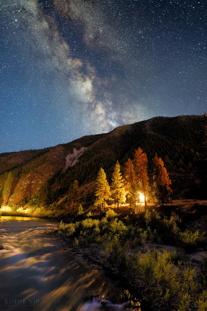 Photo: Eddie Yip, CC BY-SA 2.0 (via Flickr)
KIRKHAM RIDGE
~8 min drive
3.16-mile out-and-back trail in Idaho with 2,063 ft elevation gain and loss.
HIKE
Elkhorn Loop
Next door
10.20-mile out-and-back trail in Idaho with 16 ft of elevation gain.
HIKE
Beaver
~4 min drive
15.24-mile out-and-back trail in Idaho with 1885 feet of elevation gain.
HIKE
EDNA/ROCK CREEK
~6 min drive
38.92-mile out-and-back trail in Idaho with 4,510 ft elevation gain and loss.
HIKE
Wayout
Next door
5.92-mile out-and-back trail in Idaho with 680 ft elevation gain.
HIKE
Banner Ridge Yurt Trail
Next door
0.62-mile out-and-back hike to Banner Ridge Yurt in Idaho with 156 ft elevation gain.
HIKE
Crooked River
~9 min drive
23.38-mile out-and-back trail in Idaho with 626 ft elevation gain.
HIKE
Deadwood Ridge
~8 min drive
23.52-mile out-and-back trail in Idaho with 6,018 ft elevation gain and loss.
HIKE
Skyline
~3 min drive
4.42-mile loop trail in Idaho with 561 ft gain.
HIKE
Wayout Trail
Next door
1.6-mile out-and-back trail in Idaho with 308 ft gain and 6,433 ft max elevation.

