Trapper's Trail
- 1.4 mi
- loop
- 40 ft
- climb
- 2,173 ft
- high point
- Loop
- route
Trapper's Trail is a short, easy loop in northern Idaho, about 1.4 miles long and rising just 40 feet from its lowest point at 2,126 feet to a high of 2,173 feet. It is a low-effort outing, and the State Department of Land manages the surrounding land. Summer is the most comfortable time to go. Typical averages from a nearby weather station at Sandpoint show July and August highs around 82°F with only five or six wet days a month, while winter highs stay in the low to mid 30s. The trail is close to other outings. Stewardship Trail starts just 0.2 miles away. Riley Creek campground and Maiden Rock Trail are both about 5.8 miles off, and the Laclede climbing area is roughly 6.7 miles away.
Local outfitters
- Tour CDA34 mi away
- Nordman Resort35 mi away
Not on Roamze yet. Their page has how to reach them.
Keep exploring — more trails worth the drive
 Photo: mjhbower, CC BY-SA 2.0 (via Flickr)
Meadow Trail
~11 min drive
1.82-mile out-and-back trail in Idaho with 818 ft elevation gain
Photo: mjhbower, CC BY-SA 2.0 (via Flickr)Grandma's Trail
~13 min drive
0.68-mile out-and-back trail in Idaho with 231 ft elevation gain.
 Photo: dknepper, CC BY-SA 3.0 (via Wikimedia Commons)
Gold Hill
~17 min drive
5.93-mile out-and-back trail in Idaho with 1,547 ft elevation gain.
HIKE
MINERVA RIDGE
~20 min drive
11.46-mile out-and-back trail in Idaho with 4,639 ft gain and 6,151 ft max elevation.
Photo: mjhbower, CC BY-SA 2.0 (via Flickr)Pipeline Trail
~11 min drive
1.68-mile out-and-back trail in Idaho with 973 ft elevation gain and loss.
 Photo: waterarchives, CC BY-SA 2.0 (via Flickr)
SCHAFER PEAK
~23 min drive
1.04-mile out-and-back trail at Schafert Peak in Idaho with 518 ft gain
HIKE
Mickinnick
~19 min drive
7.40-mile out-and-back trail in Idaho with 2,062 ft elevation gain.
HIKE
PACKSADDLE MOUNTAIN
~30 min drive
10.62-mile out-and-back trail in Idaho with 5,275 ft elevation gain.
 Photo: Rick McCharles, CC BY 2.0 (via Flickr)
Bernard Peak
~26 min drive
6.24-mile out-and-back trail to Bernard Peak in Idaho with 2,035 ft elevation gain.
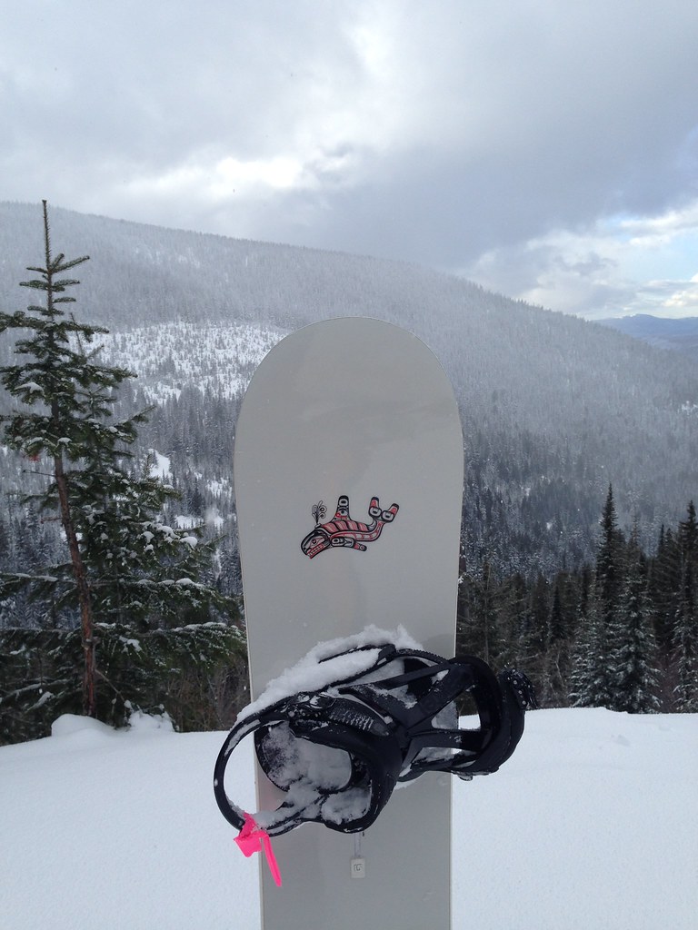 Photo: igb, CC BY 2.0 (via Flickr)
Uleda Ridge Trail
~24 min drive
2.84-mile out-and-back trail in Idaho with 516 ft elevation gain and loss.
Map and trail data © OpenStreetMap contributors
