Minerva Ridge
- 5.7 mi
- round trip
- 4,639 ft
- climb
- 6,151 ft
- high point
- Out and back
- route
Is MINERVA RIDGE open right now?
Closure in the area
There's a closure order in Idaho Panhandle National Forests. It doesn't name MINERVA RIDGE, so check the source for the area it covers (3 listed).
Emergency Road Closure Lightning Creek / Forest Road 419
Agency closure covering Idaho Panhandle National Forests · Order 0104-06-26-002 · USFS · Idaho Panhandle National Forests
Abandoned Mines Area Closure
Agency closure covering Idaho Panhandle National Forests · Order 1-04-00-25-001 · USFS · Idaho Panhandle National Forests
Idaho Panhandle Seasonal Food Storage Order
Agency closure covering Idaho Panhandle National Forests · Order 01-04-00-24-001 · USFS · Idaho Panhandle National Forests
Beehive Lake Trail #279 Closure
Agency alert covering Sandpoint Ranger District · Order 01-04-06-26-007 · USFS · Sandpoint Ranger District
Heavy Truck Traffic on FS Road 209
Agency alert covering Idaho Panhandle National Forests · USFS · Idaho Panhandle National Forests
As of · Source: USFS · Idaho Panhandle National Forests. Agencies don't list every closure — check before you go.
Minerva Ridge is a 11.5-mile out-and-back hike in Idaho's Idaho Panhandle National Forests, within the Sandpoint Ranger District. It starts at 2,709 feet and climbs to 6,151 feet, with a total gain of about 4,639 feet, making it an expert-level route. The climb is rolling, and the steepest stretch comes at about 0.46 miles, with a grade of 46%. The trip takes roughly six hours. Falls Creek is about 1.5 miles away, and Whiskey Rock Bay campground is about 2.2 miles off. Schafer Peak and Maiden Rock campground lie a little farther out, about 3.8 and 4.2 miles away.
Local outfitters
- Tour CDA32 mi away
- CDA River RV37 mi away
Not on Roamze yet. Their page has how to reach them.
- FALLS CREEKHiking1.5 mi
- Whiskey Rock BayCamping2.2 mi
 SCHAFER PEAKHikingPhoto: waterarchives, CC BY-SA 2.0 (via Flickr)3.8 mi
- Maiden RockCamping4.2 mi
- GRANITE CREEKHiking5.5 mi
- Evans Landing TrailHiking5.6 mi
- Green BayCamping7 mi
- Pend Oreille Lake AreaLake fishing9.8 mi
Source: Roamze catalog (indexable pages within 10 miles, PostGIS distance)
- SCHAFER PEAKHiking · ~7 min drivePhoto: waterarchives, CC BY-SA 2.0 (via Flickr)
 Bernard PeakHiking · ~19 min drivePhoto: Rick McCharles, CC BY 2.0 (via Flickr)
 Gold HillHiking · ~23 min drivePhoto: dknepper, CC BY-SA 3.0 (via Wikimedia Commons)
- PACKSADDLE MOUNTAINHiking · ~10 min drive
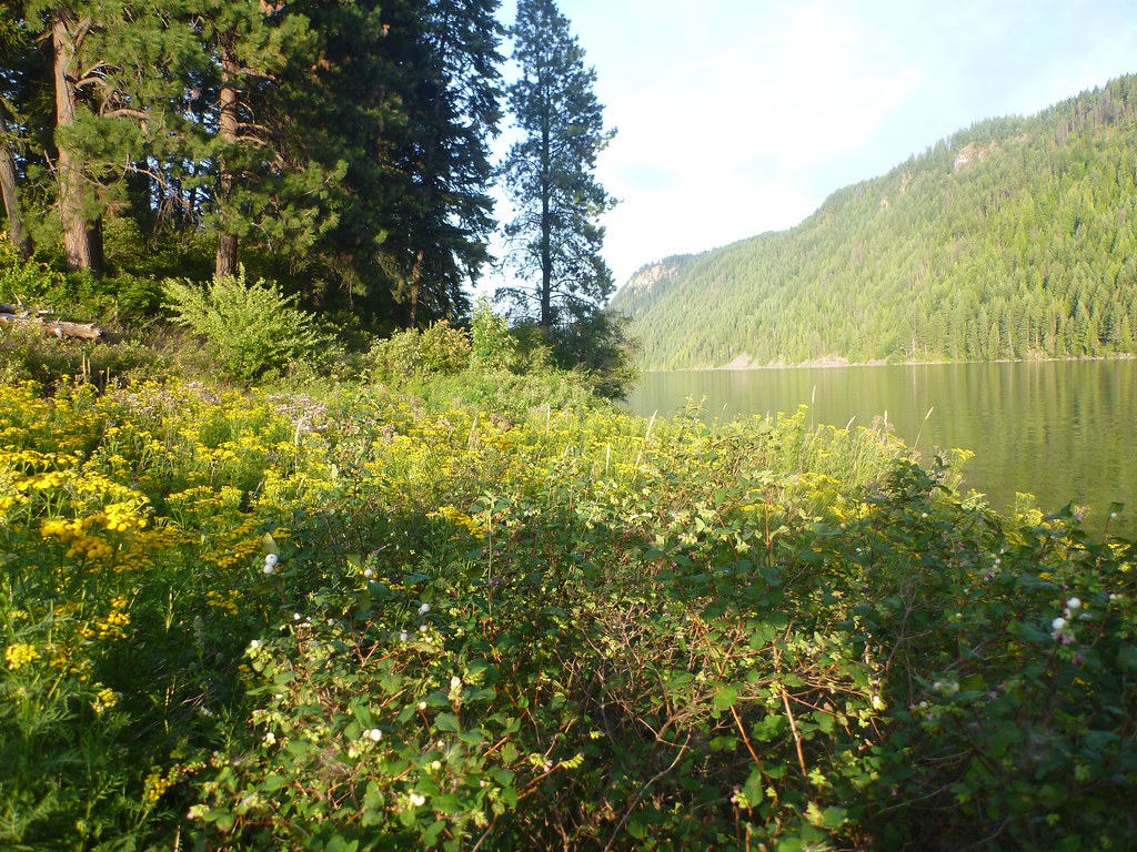 Squirrel Cache LoopHiking · ~19 min drivePhoto: Rick McCharles, CC BY 2.0 (via Flickr)
- Evans Landing TrailHiking · ~10 min drive
- FALLS CREEKHiking · ~3 min drive
- Independence Creek NrtHiking · ~21 min drive
- BRANCH NORTH GOLD CREEKHiking · ~12 min drive
- GREEN MOUNTAINHiking · ~10 min drive
