Mink Creek Group Use Site
Campground
Campground · 0.6 mi from the trail
No closures listed
The Forest Service lists no closures for Caribou-Targhee National Forest.
As of · Source: USFS · Caribou-Targhee National Forest. Agencies don't list every closure — check before you go.
The Transmission Line Trail is an easy out-and-back hike in Idaho's Caribou-Targhee National Forest, within the Westside Ranger District. The trail is about 1.65 miles long, and the round trip covers roughly 3.3 miles with a total elevation gain of about 906 feet. The climb is front-loaded, with the steepest stretch at about 1.5 miles in, and the high point sits at 5,803 feet. The most comfortable months for a visit are typically June and September, when typical averages from a nearby weather station run from highs around 78°F to 77°F and lows near 49°F to 48°F. That station sits about 1,000 feet lower than the trail, so temperatures on the trail run cooler. The trail makes an easy pairing with other outings in the area. West Fork Mink Creek is just 0.2 miles away, and Mink Creek Group Site Campground is about 0.6 miles off. Scout Mountain Campground lies about 3.5 miles away, and the WaveWall climbing area is about 6 miles out.
Mink Creek Group Use Site
Campground
Bannock County Historical Museum
Museum
Places © OpenStreetMap contributors
More in American Falls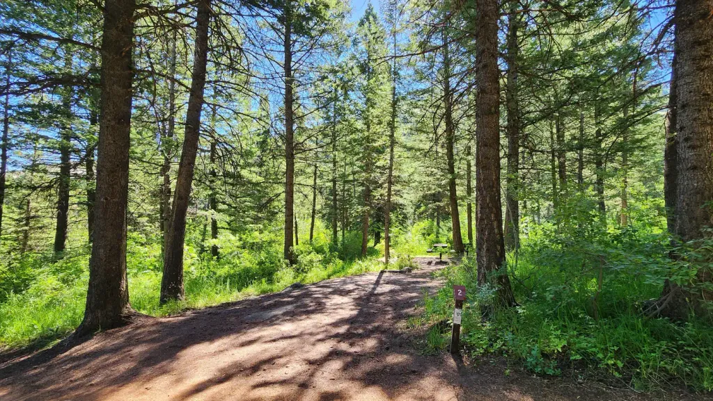 Scout Mountain CampgroundCampingPhoto: Recreation.gov (RIDB) / public domain3.5 mi
Source: Roamze catalog (indexable pages within 10 miles, PostGIS distance)
 OverlookHiking · ~3 min drivePhoto: JF Hobbs, CC BY 3.0 (via Wikimedia Commons)
 CRYSTAL CREEKHiking · ~4 min drivePhoto: JF Hobbs, CC BY 3.0 (via Wikimedia Commons)
 Lead Draw TrailHiking · ~5 min drivePhoto: JF Hobbs, CC BY 3.0 (via Wikimedia Commons)Clifton CreekHiking · ~4 min drivePhoto: JF Hobbs, CC BY 3.0 (via Wikimedia Commons)
 Upper Box CanyonHiking · ~7 min drivePhoto: JF Hobbs, CC BY 3.0 (via Wikimedia Commons)
 CRESTLINE TRAILHiking · ~5 min drivePhoto: JF Hobbs, CC BY 3.0 (via Wikimedia Commons)
 EAST FORK MINK CREEKHiking · ~6 min drivePhoto: JF Hobbs, CC BY 3.0 (via Wikimedia Commons)BOX CANYONHiking · ~7 min drivePhoto: JF Hobbs, CC BY 3.0 (via Wikimedia Commons)
Best months: May–June and September. Best months have typical highs of 55–85 °F, lows of 30 °F or warmer (32 °F where the station doesn't record snow), at most one snowy day and no more than 12 wet days.
Jan
36° / 20°
13 wet · 11 snow
Feb
41° / 22°
10 wet · 8 snow
Mar
51° / 29°
10 wet · 6 snow
Apr
58° / 34°
10 wet · 4 snow
May
68° / 42°
10 wet · 1 snow
Jun
78° / 49°
7 wet
Jul
89° / 57°
5 wet
Aug
88° / 56°
5 wet
Sep
77° / 48°
6 wet
Oct
62° / 37°
7 wet · 2 snow
Nov
46° / 27°
9 wet · 6 snow
Dec
35° / 20°
13 wet · 11 snow
Typical high / low (°F) and days with rain or snow, 1991–2020. Measured at Pocatello 2 Ne, ID, 11.8 mi away at 4,832 ft. The station sits about 1,000 ft lower than this place, so expect it a little cooler here. Source: NOAA NCEI U.S. Climate Normals 1991–2020.


