Crestline Trail
 Photo: JF Hobbs, CC BY 3.0 (via Wikimedia Commons)
- 11.0 mi
- loop
- 2,862 ft
- climb
- 8,111 ft
- high point
- Loop
- route
Caution at last check
Agency alerts are in effect for this area; weather is marginal · USFS, OpenWeather · checked 18 h ago
Is CRESTLINE TRAIL open right now?
No closures listed
The Forest Service lists no closures for Caribou-Targhee National Forest.
As of · Source: USFS · Caribou-Targhee National Forest. Agencies don't list every closure — check before you go.
Crestline Trail is a 11-mile loop in Idaho's Caribou-Targhee National Forest, within the Westside Ranger District. The trail starts and ends at the Crestline Trailhead, and the route is rated hard. The climb is front-loaded, with the steepest stretch at about 2.7 miles in, where the grade reaches 26 percent. The trail gains and loses a total of 2,862 feet, with the high point at 8,111 feet and the low point at 5,835 feet. The Scout-Crestline hike lies just 0.4 miles away, and Scout Mountain Campground is about 1.1 miles off. Camp Taylor South and the Scout Mt Nature Trail are each roughly 1.2 miles from the trailhead.
- Scout-CrestlineHiking0.4 mi
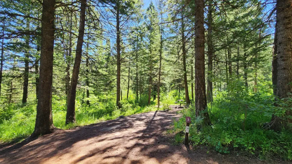 Scout Mountain CampgroundCampingPhoto: Recreation.gov (RIDB) / public domain1.1 mi
 Camp Taylor SouthHikingPhoto: JF Hobbs, CC BY 3.0 (via Wikimedia Commons)1.2 mi
 Scout Mt Nature TrailHikingPhoto: JF Hobbs, CC BY 3.0 (via Wikimedia Commons)1.2 mi
- Mink Creek Group Use SiteCamping3.2 mi
- Mink Creek Group Site CampgroundCamping3.2 mi
- WaveWallRock climbing6.5 mi
- Main CorridorRock climbing8.7 mi
Source: Roamze catalog (indexable pages within 10 miles, PostGIS distance)
- EAST FORK MINK CREEKHiking · ~2 min drivePhoto: JF Hobbs, CC BY 3.0 (via Wikimedia Commons)
 Lead Draw TrailHiking · ~3 min drivePhoto: JF Hobbs, CC BY 3.0 (via Wikimedia Commons)
 Scout Mtn RidgeHiking · ~4 min drivePhoto: JF Hobbs, CC BY 3.0 (via Wikimedia Commons)
- OverlookHiking · ~3 min drivePhoto: JF Hobbs, CC BY 3.0 (via Wikimedia Commons)
 MORMON CANYONHiking · ~9 min drivePhoto: JF Hobbs, CC BY 3.0 (via Wikimedia Commons)
- BOX CANYONHiking · ~5 min drivePhoto: JF Hobbs, CC BY 3.0 (via Wikimedia Commons)
 Clifton CreekHiking · ~7 min drivePhoto: JF Hobbs, CC BY 3.0 (via Wikimedia Commons)
- Bull CanyonHiking · ~8 min drive
- Upper Box CanyonHiking · ~5 min drivePhoto: JF Hobbs, CC BY 3.0 (via Wikimedia Commons)
- BELL MARSH-WALKER-GOODENOUGHHiking · ~8 min drivePhoto: JF Hobbs, CC BY 3.0 (via Wikimedia Commons)

