Trail Creek
- 9.3 mi
- round trip
- 6,838 ft
- climb
- 7,399 ft
- high point
- Out and back
- route
- Jun–Sep
- best months
Is Trail Creek open right now?
Alert in the area
The Forest Service lists an alert for Salmon-Challis National Forest.
Stoddard Bridge Construction Closure
Agency alert covering Salmon-Challis National Forest · Order 0413-07-17 · USFS · Salmon-Challis National Forest
As of · Source: USFS · Salmon-Challis National Forest. Agencies don't list every closure — check before you go.
Trail Creek is a hard out-and-back hike in Idaho's Salmon-Cobalt Ranger District, part of the Salmon-Challis National Forest. The trail runs for about 9 miles, with a round-trip elevation gain of roughly 6,800 feet. It starts and ends near 7,390 feet, and the high point on the route reaches about 7,400 feet. The climb is steepest near the start, with a grade of about 47% at about 0.7 miles in. The trail is a natural-surface route. It is open year-round and allows horses and bikes, but it is not an accessible trail. Summer is the most comfortable time to go. Typical July averages at a nearby weather station in Jackson, Montana, run to highs around 77°F and lows near 42°F, while winter highs there stay in the upper 20s. Nearby hikes include Little Jureano Creek, about 3.8 miles away, and Fritzer Gulch, about 4 miles away. Pony Lake and Big Deer Creek are each a little over 5 miles from the trail.
- Little Jureano CreekHiking3.8 mi
- Fritzer GulchHiking4 mi
- Pony LakeHiking4.9 mi
- Big Deer CreekHiking5.1 mi
- White Horse Basin TrailHiking5.1 mi
- Swampy MeadowsHiking6.7 mi
- Point of RocksHiking7.2 mi
- BeartrackHiking7.4 mi
Source: Roamze catalog (indexable pages within 10 miles, PostGIS distance)
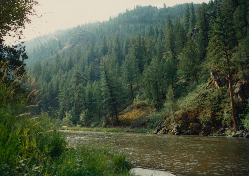 Boulder BasinHiking · ~19 min drivePhoto: roy.luck, CC BY 2.0 (via Flickr)
- Fritzer GulchHiking · ~7 min drive
- Pony LakeHiking · ~8 min drive
- BeartrackHiking · ~13 min drive
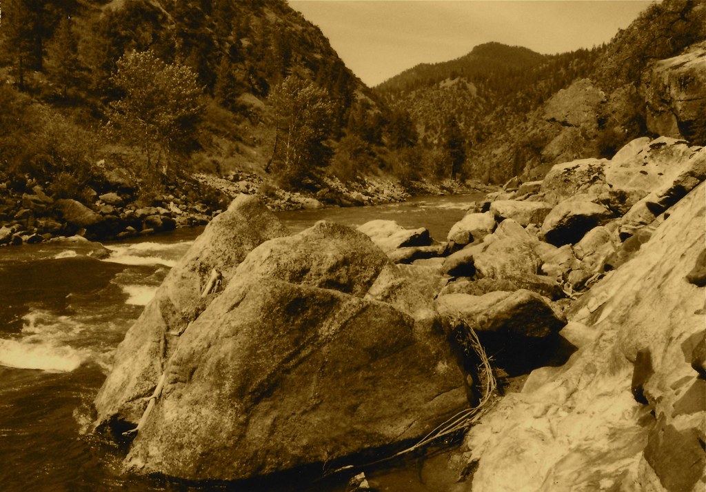 Stormy Pk.-VirginiaHiking · ~18 min drivePhoto: roy.luck, CC BY 2.0 (via Flickr)
- HORNET CREEKHiking · ~15 min drive
- Swampy MeadowsHiking · ~12 min drive
- North Moccasin Spur 1Hiking · ~14 min drive
- Big Deer CreekHiking · ~9 min drive
- Garden Creek - Horse Heaven TrailHiking · ~17 min drive
Best time to visit Trail Creek
Best months: June–September. Best months have typical highs of 55–85 °F, lows of 30 °F or warmer (32 °F where the station doesn't record snow), at most one snowy day and no more than 12 wet days.
Jan
28° / 8°
6 wet
Feb
31° / 8°
6 wet
Mar
39° / 16°
8 wet
Apr
46° / 23°
9 wet
May
57° / 31°
10 wet
Jun
66° / 37°
9 wet
Jul
77° / 42°
6 wet
Aug
76° / 39°
5 wet
Sep
66° / 32°
4 wet
Oct
51° / 25°
5 wet
Nov
36° / 14°
7 wet
Dec
27° / 7°
7 wet
Typical high / low (°F) and days with rain or snow, 1991–2020. Measured at Jackson, MT, 41.3 mi away at 6,480 ft. The station sits about 900 ft lower than this place, so expect it a little cooler here. This station doesn't record snowfall. Source: NOAA NCEI U.S. Climate Normals 1991–2020.
