Park Creek Campground
Campground
Campground · 3.5 mi from the trail
Alert in the area
The Forest Service lists 4 alerts for Sawtooth National Forest.
Paradise Prescribed Burn Restricted Access
Agency alert covering Sawtooth National Forest · USFS · Sawtooth National Forest
Grandjean Area, Road, and Trail Closure
Agency alert covering Sawtooth National Forest · Order 0414-04-165 · USFS · Sawtooth National Forest
Over-Snow Vehicle and Bicycle Prohibitions
Agency alert covering Sawtooth National Forest · Order 0414-00-028 · USFS · Sawtooth National Forest
Occupancy and Use - Food Storage
Agency alert covering Sawtooth National Forest · Order 0414-04-143 · USFS · Sawtooth National Forest
As of · Source: USFS · Sawtooth National Forest. Agencies don't list every closure — check before you go.
Trail Cr.-West Fork is a hard hike in Idaho's Sawtooth National Forest, within the Ketchum Ranger District. The route is an out-and-back that climbs from about 7,800 feet to roughly 10,100 feet, with a total elevation gain of about 2,150 feet over a distance of about 11 miles. The Forest Service manages the land, and the trail is open year-round. The trail is a natural-surface route that allows both horses and bikes, so it works for riders and pack animals as well as hikers. Plan for a full day on foot, and consider an overnight stay at Park Creek Campground, about 3.5 miles away, or Phi Kappa Campground, about 4.6 miles away. Nearby options include High Ridge Trail, about 3 miles off, and Squib Canyon, about 3.2 miles away. Kane-Summit is about 4 miles away, and paddlers can head to the North Fork Big Lost River, about 5.4 miles away.
Park Creek Campground
Campground
The Sun Valley Club
Restaurant
Sun Valley Museum of Art
Museum
Places © OpenStreetMap contributors
More in KetchumNot on Roamze yet. Their page has how to reach them.
 Photo: ArtBrom, CC BY-SA 2.0 (via Flickr)
Trail Creek
~18 min drive
2.11-mile out-and-back trail at Trail Creek in Idaho with 65 ft of elevation gain.
Photo: ArtBrom, CC BY-SA 2.0 (via Flickr)Proctor Mountain
~19 min drive
8.80-mile out-and-back hike to Proctor Mountain summit in Idaho with 1,097 ft gain.
HIKE
Hunter Creek
~7 min drive
5.35-mile out-and-back trail in Idaho with 1,282 ft elevation gain.
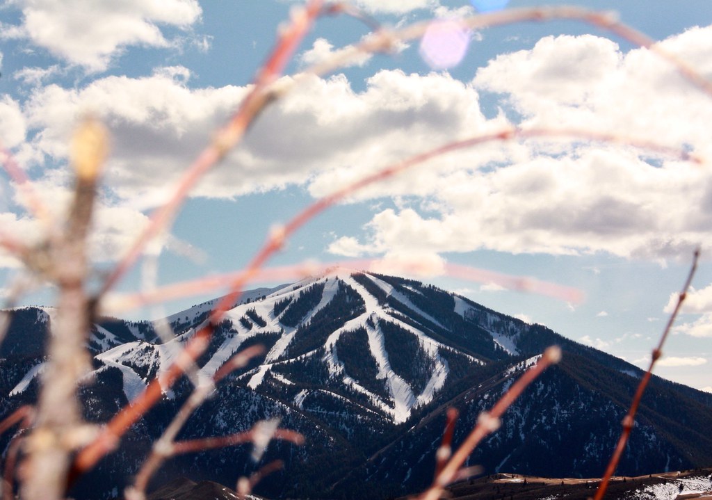 Photo: Chloé François, CC BY 2.0 (via Flickr)
Aspen Loop
~19 min drive
2.60-mile out-and-back trail in Idaho with 637 ft elevation gain.
Photo: ArtBrom, CC BY-SA 2.0 (via Flickr)Corral Creek
~19 min drive
8.65-mile out-and-back trail in Idaho with 350 ft gain.
HIKE
BARTLETT CREEK
~11 min drive
1.66-mile out-and-back trail in Idaho with 780 ft gain and 8,059 ft max elevation.
HIKE
Phi Kappa
~11 min drive
2.77-mile out-and-back trail in Idaho with 891 ft elevation gain.
HIKE
High Ridge Trail
~5 min drive
16.30-mile out-and-back trail in Idaho with 1,660 ft elevation gain.
HIKE
Upper North Fork
~11 min drive
5.43-mile out-and-back trail in Idaho with 1,339 ft elevation gain.
HIKE
MURDOCK LOOP SKI
~13 min drive
1.6-mile out-and-back ski trail in Idaho with 168 ft elevation gain.

