Park Creek Campground
Campground
Campground · 1.2 mi from the trail
Alert in the area
The Forest Service lists 4 alerts for Sawtooth National Forest.
Paradise Prescribed Burn Restricted Access
Agency alert covering Sawtooth National Forest · USFS · Sawtooth National Forest
Grandjean Area, Road, and Trail Closure
Agency alert covering Sawtooth National Forest · Order 0414-04-165 · USFS · Sawtooth National Forest
Over-Snow Vehicle and Bicycle Prohibitions
Agency alert covering Sawtooth National Forest · Order 0414-00-028 · USFS · Sawtooth National Forest
Occupancy and Use - Food Storage
Agency alert covering Sawtooth National Forest · Order 0414-04-143 · USFS · Sawtooth National Forest
As of · Source: USFS · Sawtooth National Forest. Agencies don't list every closure — check before you go.
High Ridge Trail is a hard hike in the Ketchum Ranger District of Idaho's Sawtooth National Forest, managed by the Forest Service. The trail is about 16 miles long, with a one-way climb of roughly 1,660 feet from a low point of about 6,900 feet to a high of about 9,400 feet. It is an out-and-back route. The trail is on natural surface, and bikes are allowed. That makes it a practical option for riders as well as hikers. Kane-Summit lies about a mile away, and Park Creek Campground is about 1.2 miles off, so either can serve as a base. Big Fall Creek and Phi Kappa Campground are both within about 4 miles.
Park Creek Campground
Campground
The Sun Valley Club
Restaurant
Sun Valley Museum of Art
Museum
Places © OpenStreetMap contributors
More in KetchumNot on Roamze yet. Their page has how to reach them.
 Photo: ArtBrom, CC BY-SA 2.0 (via Flickr)
Trail Creek
~13 min drive
2.11-mile out-and-back trail at Trail Creek in Idaho with 65 ft of elevation gain.
Photo: ArtBrom, CC BY-SA 2.0 (via Flickr)Proctor Mountain
~15 min drive
8.80-mile out-and-back hike to Proctor Mountain summit in Idaho with 1,097 ft gain.
HIKE
Taylor Canyon
~12 min drive
4.04-mile loop in Idaho's Taylor Canyon with 1,159 ft gain.
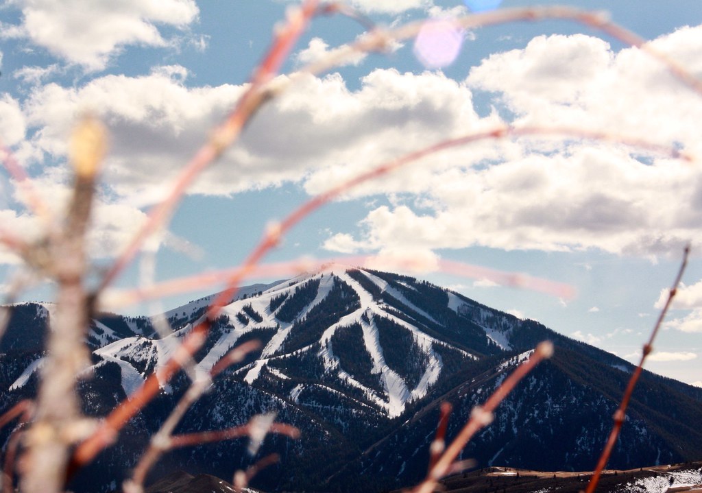 Photo: Chloé François, CC BY 2.0 (via Flickr)
Aspen Loop
~15 min drive
2.60-mile out-and-back trail in Idaho with 637 ft elevation gain.
Photo: ArtBrom, CC BY-SA 2.0 (via Flickr)Corral Creek
~15 min drive
8.65-mile out-and-back trail in Idaho with 350 ft gain.
HIKE
BARTLETT CREEK
~12 min drive
1.66-mile out-and-back trail in Idaho with 780 ft gain and 8,059 ft max elevation.
HIKE
Phi Kappa
~7 min drive
2.77-mile out-and-back trail in Idaho with 891 ft elevation gain.
HIKE
Kane-Summit
~2 min drive
13.55-mile out-and-back trail in Idaho with 1,603 ft elevation gain.
HIKE
Hunter Creek
~13 min drive
5.35-mile out-and-back trail in Idaho with 1,282 ft elevation gain.
HIKE
MURDOCK LOOP SKI
~13 min drive
1.6-mile out-and-back ski trail in Idaho with 168 ft elevation gain.

