Sugar Creek
- 2.2 mi
- round trip
- 2,164 ft
- climb
- 8,142 ft
- high point
- Out and back
- route
Caution at last check
Agency alerts are in effect for this area; weather is marginal · USFS, OpenWeather · checked 21 h ago
Is SUGAR CREEK open right now?
No closures listed
The Forest Service lists no closures for Caribou-Targhee National Forest.
As of · Source: USFS · Caribou-Targhee National Forest. Agencies don't list every closure — check before you go.
Sugar Creek is an out-and-back hike in the Montpelier Ranger District of Idaho's Caribou-Targhee National Forest, about 2 miles from the district's boundaries. The Forest Service manages the land, and the trail starts at a high point of 8,142 feet, with the climb back down mirroring the way up. The trip is roughly 4.3 miles long, with a total gain of 2,164 feet and a steepest stretch at about 0.35 miles in. The most demanding part of the hike comes early, when the trail drops to a low of 6,461 feet before climbing back to the start. That makes the route a back-loaded climb, with the ascent from the bottom the most intense. The hike is rated moderate, and the estimated time is about 2.5 hours. Willow Flat Campground sits about 2.7 miles away, and the Willow Flat hike is about 2.9 miles off. Litz Basin is about 2.1 miles away, and the climbing at Bloom Boulders is about 4.2 miles from the trail.
Local outfitters
- Mantua Waterfront RV Resort44 mi away
Not on Roamze yet. Their page has how to reach them.
- Litz BasinHiking2.1 mi
- Willow Flat AltHiking2.5 mi
 Willow Flat CampgroundCampingPhoto: Recreation.gov (RIDB) / public domain2.7 mi
- Willow FlatHiking2.9 mi
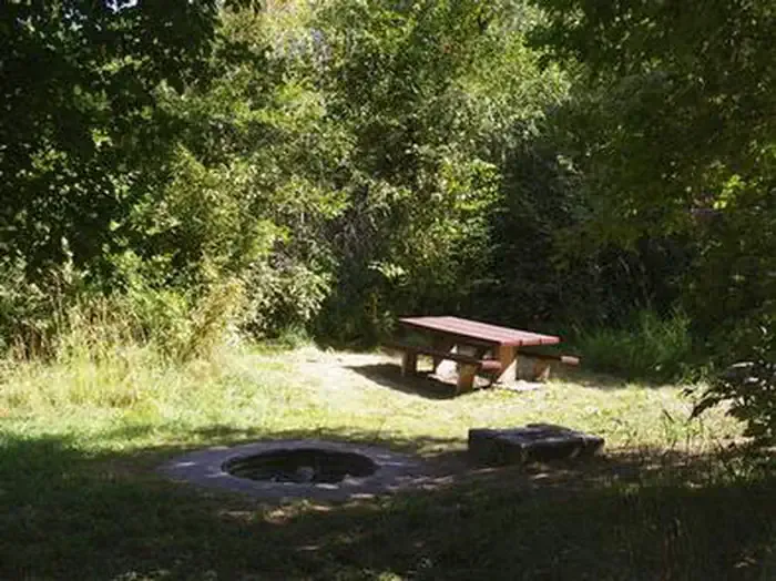 Albert MoserCampingPhoto: Recreation.gov (RIDB) / public domain4.1 mi
- Bloom BouldersRock climbing4.2 mi
- Bloomington LakeRock climbing4.3 mi
- Cub RiverCanoeing7.1 mi
Source: Roamze catalog (indexable pages within 10 miles, PostGIS distance)
- Litz BasinHiking · ~4 min drive
- Maple CreekHiking · ~5 min drive
- Thorne SpringsHiking · ~7 min drive
- Sugar CreekHiking · ~4 min drive
- Shoshone Indian TrailHiking · ~5 min drive
- Middle Fk. St. CharlesHiking · ~9 min drive
- Willow Flat AltHiking · ~4 min drive
- Cub River TrailHiking · ~7 min drive
- WORM CREEKHiking · ~10 min drive
- Cub River Trail Alt AHiking · ~5 min drive
