Cub River Trail Alt A
- 0.4 mi
- distance
- 143 ft
- climb
- 5,621 ft
- high point
- Lollipop
- route
- Apr–Jun, Sep–Oct
- best months
Is Cub River Trail Alt A open right now?
No closures listed
The Forest Service lists no closures for Caribou-Targhee National Forest.
As of · Source: USFS · Caribou-Targhee National Forest. Agencies don't list every closure — check before you go.
Cub River Trail Alt A is a short, easy hike in Idaho's Caribou-Targhee National Forest, within the Montpelier Ranger District. The trail is 0.36 miles long, with a total elevation gain of 143 feet from a starting point at about 5,488 feet to a high point of about 5,621 feet. The steepest stretch comes at about 0.25 miles in, where the grade reaches 15 percent. Summer is the most comfortable time to go. Typical averages from a nearby weather station in Preston show July highs around 89°F with lows near 53°F, while September cools to highs around 77°F. That station sits roughly 900 feet lower than the trail, so temperatures on the trail run cooler. The trip takes about half an hour. The Cub River Trail and Litz Basin are both about 1.3 miles away, and Albert Moser campground is about 1.3 miles off. Willow Flat Campground is about 2.3 miles away.
Local outfitters
- Mantua Waterfront RV Resort46 mi away
Not on Roamze yet. Their page has how to reach them.
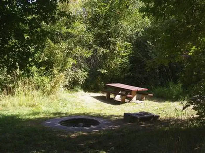 Albert MoserCampingPhoto: Recreation.gov (RIDB) / public domain1.3 mi
- Litz BasinHiking1.3 mi
- Cub River TrailHiking1.3 mi
- Thorne SpringsHiking1.5 mi
 Willow Flat CampgroundCampingPhoto: Recreation.gov (RIDB) / public domain2.3 mi
- Bloom BouldersRock climbing4.7 mi
- Bloomington LakeRock climbing4.9 mi
- Cub RiverCanoeing7.2 mi
Source: Roamze catalog (indexable pages within 10 miles, PostGIS distance)
- Litz BasinHiking · ~2 min drive
- Cub River TrailHiking · ~2 min drive
- Thorne SpringsHiking · ~3 min drive
- WildcatHiking · ~4 min drive
- Shoshone Indian TrailHiking · ~3 min drive
- WORM CREEKHiking · ~4 min drive
- MidwayHiking · ~4 min drive
- Station CreekHiking · ~6 min drive
- SUGAR CREEKHiking · ~5 min drive
- Willow Flat AltHiking · ~4 min drive
Best time to visit Cub River Trail Alt A
Best months: April–June and September–October. Best months have typical highs of 55–85 °F, lows of 30 °F or warmer (32 °F where the station doesn't record snow), at most one snowy day and no more than 12 wet days.
Jan
32° / 15°
10 wet
Feb
38° / 18°
9 wet
Mar
50° / 27°
9 wet
Apr
59° / 33°
10 wet
May
69° / 40°
10 wet
Jun
79° / 47°
6 wet
Jul
89° / 53°
4 wet
Aug
87° / 52°
5 wet
Sep
77° / 43°
6 wet
Oct
63° / 33°
7 wet
Nov
47° / 24°
8 wet
Dec
34° / 17°
10 wet
Typical high / low (°F) and days with rain or snow, 1991–2020. Measured at Preston, ID, 11.4 mi away at 4,719 ft. The station sits about 900 ft lower than this place, so expect it a little cooler here. This station doesn't record snowfall. Source: NOAA NCEI U.S. Climate Normals 1991–2020.
Map and trail data © OpenStreetMap contributors
