Cub River Trail
- 5.6 mi
- round trip
- 2,453 ft
- climb
- 6,118 ft
- high point
- Out and back
- route
- May–Oct
- best months
Is Cub River Trail open right now?
No closures listed
The Forest Service lists no closures for Caribou-Targhee National Forest.
As of · Source: USFS · Caribou-Targhee National Forest. Agencies don't list every closure — check before you go.
The Cub River Trail is a hard out-and-back hike in Idaho's Caribou-Targhee National Forest, within the Montpelier Ranger District. The route is 11.2 miles long, with a steady climb of 1,950 feet from the trailhead at 5,283 feet to a high point of 6,118 feet. The trailhead is named Cub River Trailhead, and the Forest Service manages the land. Summer is the most comfortable time to go. Typical averages from a nearby weather station at Bear Lake, Utah, show July highs around 83°F with lows near 55°F, while winter highs stay in the low to mid 30s. Albert Moser campground sits just 0.1 mile from the trailhead, and the Thorne Springs hike is 0.2 mile away. Willow Flat Campground is about 3.6 miles off, and the Cub River offers canoeing roughly 6.5 miles away.
Local outfitters
- Mantua Waterfront RV Resort46 mi away
Not on Roamze yet. Their page has how to reach them.
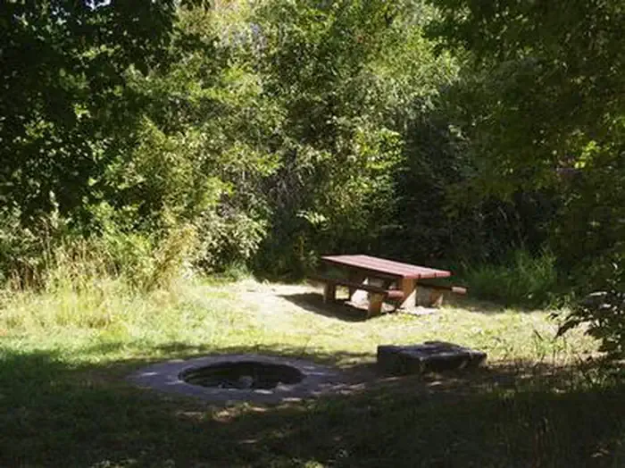 Albert MoserCampingPhoto: Recreation.gov (RIDB) / public domain0.1 mi
- Thorne SpringsHiking0.2 mi
- Cub River Trail Alt AHiking1.3 mi
- WORM CREEKHiking1.5 mi
 Willow Flat CampgroundCampingPhoto: Recreation.gov (RIDB) / public domain3.6 mi
- Bloom BouldersRock climbing6 mi
- Bloomington LakeRock climbing6.2 mi
- Cub RiverCanoeing6.5 mi
Source: Roamze catalog (indexable pages within 10 miles, PostGIS distance)
- Thorne SpringsHiking · Next door
- Cub River Trail Alt AHiking · ~2 min drive
- Station CreekHiking · ~4 min drive
- WORM CREEKHiking · ~3 min drive
- MidwayHiking · ~3 min drive
- Shoshone Indian TrailHiking · ~5 min drive
- South Canyon PowerlineHiking · ~8 min drive
- Litz BasinHiking · ~3 min drive
- Horse BasinHiking · ~8 min drive
- South CanyonHiking · ~8 min drive
Best time to visit Cub River Trail
Best months: May–October. Best months have typical highs of 55–85 °F, lows of 30 °F or warmer (32 °F where the station doesn't record snow), at most one snowy day and no more than 12 wet days.
Jan
33° / 16°
Feb
35° / 17°
Mar
44° / 24°
Apr
53° / 31°
May
64° / 40°
Jun
74° / 46°
Jul
83° / 55°
Aug
82° / 54°
Sep
73° / 45°
Oct
59° / 34°
Nov
44° / 26°
Dec
35° / 19°
Typical high / low (°F) and days with rain or snow, 1991–2020. Measured at Bear Lake Sp, UT, 19.5 mi away at 5,928 ft. This station doesn't record snowfall. Source: NOAA NCEI U.S. Climate Normals 1991–2020.
Map and trail data © OpenStreetMap contributors
