South Fork Waterfall
- 8.5 mi
- round trip
- 1,349 ft
- climb
- 7,353 ft
- high point
- Out and back
- route
Is South Fork Waterfall open right now?
Alert in the area
The Forest Service lists an alert for Salmon-Challis National Forest.
Stoddard Bridge Construction Closure
Agency alert covering Salmon-Challis National Forest · Order 0413-07-17 · USFS · Salmon-Challis National Forest
As of · Source: USFS · Salmon-Challis National Forest. Agencies don't list every closure — check before you go.
South Fork Waterfall is a hard hike in Idaho's Frank Church-River of No Return Wilderness, on the North Fork Ranger District of the Salmon-Challis National Forest. The trail is an out-and-back that climbs from about 5,940 feet to 7,353 feet, a total gain of 1,349 feet over roughly 8.5 miles. The route is on natural surface, and horses are allowed. Bikes are not. The Forest Service manages the land, and the trail is open year-round. Several other hikes lie within a few miles, including Puddin Mountain, Harbor Lake and Middle Fork River. Soldier Bar Airfield, a campground, is about 6 miles away.
Keep exploring — more trails worth the drive
 Photo: Mario Hains, CC BY-SA 3.0 (via Wikimedia Commons)
Harbor Lake
~8 min drive
3.40-mile out-and-back trail to Harbor Lake in Idaho with 848 ft of elevation gain.
Photo: Mario Hains, CC BY-SA 3.0 (via Wikimedia Commons)Waterfall
~10 min drive
32.21-mile out-and-back trail in Idaho with 665 ft elevation gain.
 Photo: Bplewe, CC BY-SA 4.0 (via Wikimedia Commons)
BEAGLE CREEK
~22 min drive
18-mile out-and-back trail in Idaho with 4,385 ft elevation gain/loss
HIKE
Soldier Bar
~11 min drive
1.32-mile out-and-back trail in Idaho with 490 ft gain.
HIKE
Middle Fork River
~8 min drive
5.22-mile out-and-back trail on Middle Fork River in Idaho.
Photo: Mario Hains, CC BY-SA 3.0 (via Wikimedia Commons)Mirror Lake
~12 min drive
7.93-mile out-and-back trail to Mirror Lake in Idaho with 1,238 ft of elevation gain.
HIKE
PARADISE CR. CUTOFF
~17 min drive
9.44-mile out-and-back trail in Idaho with 5,165 ft elevation gain
HIKE
Crags Horse Alternate
~12 min drive
4.08-mile out-and-back trail in Idaho with 484 ft of elevation gain.
HIKE
Short Creek Lookout Spur
~16 min drive
2.4-mile out-and-back trail in Idaho with 1,418 ft elevation gain and 7,804 ft max elevation.
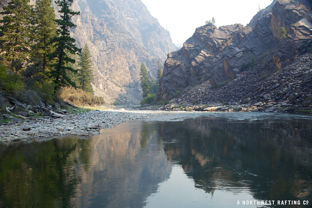 Photo: Northwest Rafting Company, CC BY 2.0 (via Flickr)
Stoddard
~21 min drive
25.40-mile point-to-point trail in Idaho with 8,278 ft elevation gain.
