Big Soldier Trail
- 0.5 mi
- round trip
- 474 ft
- climb
- 8,924 ft
- high point
- Out and back
- route
Is Big Soldier Trail open right now?
Alert in the area
The Forest Service lists an alert for Salmon-Challis National Forest.
Stoddard Bridge Construction Closure
Agency alert covering Salmon-Challis National Forest · Order 0413-07-17 · USFS · Salmon-Challis National Forest
As of · Source: USFS · Salmon-Challis National Forest. Agencies don't list every closure — check before you go.
Big Soldier Trail is an easy hike in Idaho's Frank Church-River of No Return Wilderness, on the Middle Fork Ranger District of the Salmon-Challis National Forest. The Forest Service manages the land, and the route is an out-and-back that covers about a mile, with a total climb of 474 feet from a low point of 8,754 feet to a high of 8,924 feet. The trail is short and low-impact, with a rolling climb that reaches a steepest grade of 20% at about 0.42 miles. The round trip is estimated to take about half an hour, so it works well as a quick outing. Muskeg Creek is about half a mile away. The Middle Fork Salmon River is about 2 miles off, and Dagger Falls Campground and Boundary Creek Campground are both about 2.7 miles away.
Local outfitters
- Arrowhead RV Park39 mi away
- The Sawmill Station45 mi away
Not on Roamze yet. Their page has how to reach them.
Conditions and forecast on Big Soldier Mountain
Daily highs and lows, wind and the chance of precipitation at the summit and route start for the next 7 days, from the Open-Meteo model.
- Muskeg CreekHiking0.5 mi
 Middle Fork Salmon RiverCanoeingPhoto: Rex Parker, CC BY 2.0 (via Wikimedia Commons)2 mi
- Dagger Falls CampgroundCamping2.7 mi
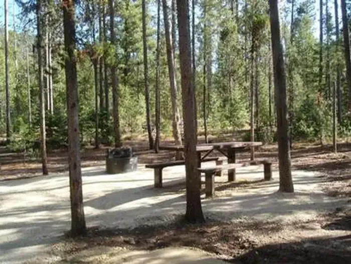 Boundary Creek CampgroundCampingPhoto: Recreation.gov (RIDB) / public domain2.7 mi
- Boundary Creek Campground ComplexCamping2.8 mi
- Morehead MtnHiking2.8 mi
- SULPHUR CREEK CUTOFFHiking3.1 mi
- Elkhorn CreekCanoeing4.1 mi
Source: Roamze catalog (indexable pages within 10 miles, PostGIS distance)
- Muskeg CreekHiking · Next door
- SULPHUR CREEK CUTOFFHiking · ~5 min drive
- Bear Valley CreekHiking · ~16 min drive
- Morehead MtnHiking · ~5 min drive
- CutthroatHiking · ~7 min drive
- MOSQUITO CREEKHiking · ~20 min drive
- Soldier BasinHiking · ~10 min drive
- LANGER LAKE SPUR 1Hiking · ~14 min drive
- North Fork of Sulphur CreekHiking · ~21 min drive
- Mountain MeadowsHiking · ~12 min drive
Route details
- Distance
- 0.5 mi round trip
- Climbing
- About 474 ft
- Summit
- 8,984 ft
- Difficulty
- Easy
- Time
- About 0.5 hours
Questions about this route
How long is the Big Soldier Trail on Big Soldier Mountain?
About 0.5 mi round trip.
How much elevation gain is on the Big Soldier Trail?
About 474 ft of climbing round trip.
How hard is the Big Soldier Trail?
It is rated easy.
How long does the Big Soldier Trail take?
About 0.5 hours round trip.
Map and trail data © OpenStreetMap contributors
