Red Mountain
- 3.2 mi
- round trip
- 1,168 ft
- climb
- 8,711 ft
- high point
- Out and back
- route
Is Red Mountain open right now?
Closure in the area
There's a closure order in Boise National Forest. It doesn't name Red Mountain, so check the source for the area it covers.
UPDATED Sept. 19 - Crooked Fire Area, Road, and Trail Closure
Agency closure covering Boise National Forest · Order 0402-03-140 · USFS · Boise National Forest
Lava Fire Road Closure
Agency alert covering Boise National Forest · Order 0402-06-84 · USFS · Boise National Forest
As of · Source: USFS · Boise National Forest. Agencies don't list every closure — check before you go.
Red Mountain is a moderate out-and-back hike of about 3.2 miles in Idaho's Boise National Forest, on the Lowman Ranger District. The trail gains about 1,168 feet, from a low point of roughly 7,475 feet to a high point of about 8,711 feet. The Red Mountain Trailhead is the starting point, and it serves as a year-round destination. The trail is natural-surfaced, and it is open to both horses and bikes, so riders and horsebackers can plan a visit. Several other outings sit within a few miles. Clear Creek is about 1.7 miles away and Catpaw Lake is about 2.5 miles away. Lost Lake is about 4.1 miles away. Warm Springs Guard Station offers camping about 8.3 miles from the trailhead.
Local outfitters
- Riverpond Campground30 mi away
- Camp Perkins36 mi away
Not on Roamze yet. Their page has how to reach them.
Keep exploring — more trails worth the drive
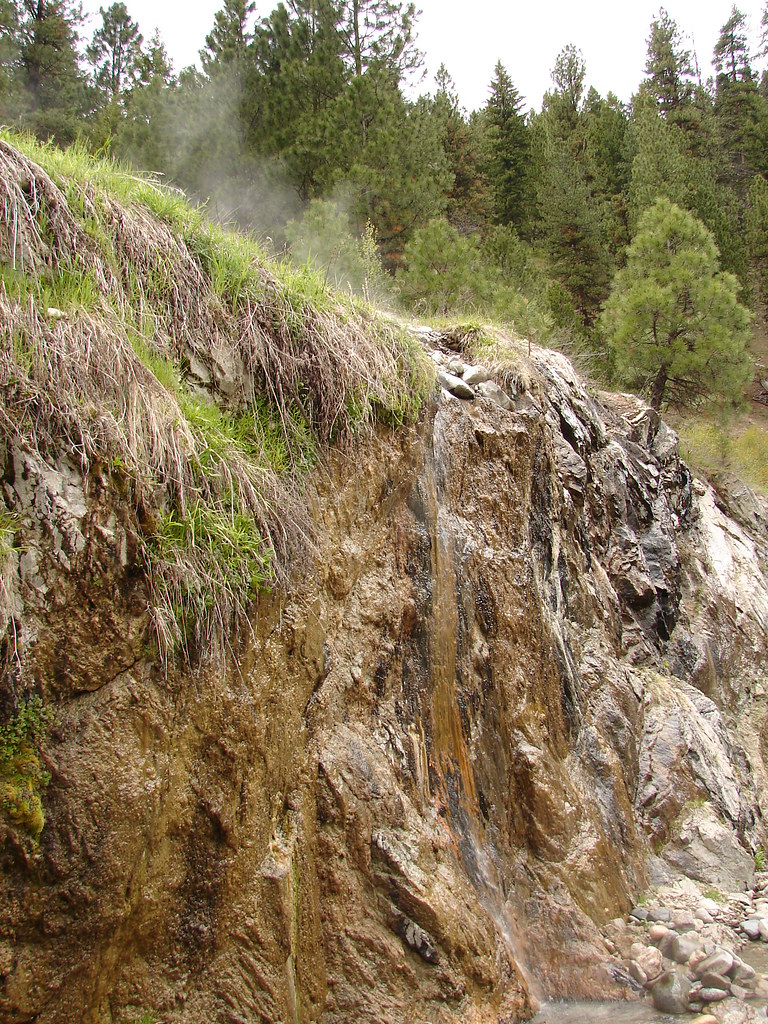 Photo: Fokket, CC BY 2.0 (via Flickr)
Bonneville
~13 min drive
1.16-mile out-and-back trail in Idaho with 551 ft gain.
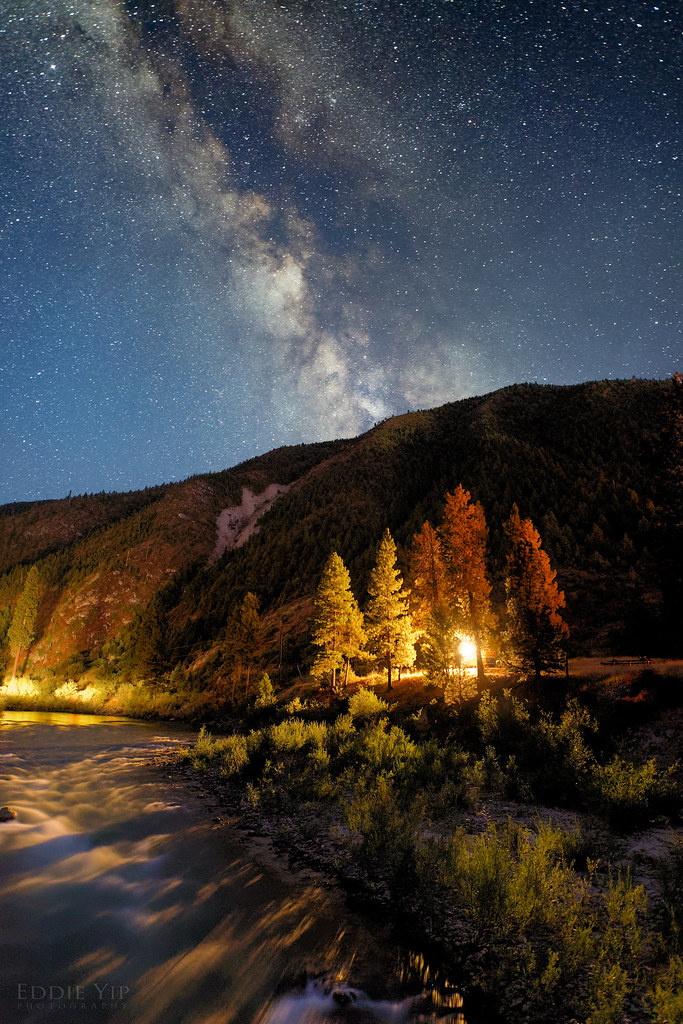 Photo: Eddie Yip, CC BY-SA 2.0 (via Flickr)
KIRKHAM RIDGE
~21 min drive
3.16-mile out-and-back trail in Idaho with 2,063 ft elevation gain and loss.
HIKE
GATES CREEK
~14 min drive
11.78-mile out-and-back trail in Idaho with 3,373 ft elevation gain and loss.
HIKE
Kirkham Ridge
~15 min drive
43.48-mile out-and-back trail in Idaho with 7,247 ft elevation gain/loss
HIKE
Catpaw Lake
~4 min drive
0.62-mile out-and-back trail to Catpaw Lake in Idaho with 177 ft of elevation gain.
HIKE
Clear Creek
~3 min drive
5.98-mile out-and-back trail in Idaho with 1,412 ft elevation gain.
HIKE
JACKSON PEAK
~15 min drive
8.86-mile out-and-back hike to Jackson Peak in Idaho with 4,261 ft elevation gain
HIKE
Wapiti Creek Trail
~22 min drive
13.78-mile out-and-back trail in Idaho with 5,489 ft gain/loss.
HIKE
LONG CREEK
~14 min drive
1.96-mile out-and-back trail in Idaho with 767 ft elevation gain and loss.
HIKE
Chapman Scenic
~15 min drive
4.17-mile out-and-back trail in Idaho with 157 ft elevation gain.
Route details
- Distance
- 3.2 mi round trip
- Climbing
- About 1,168 ft
- Starts at
- RED MOUNTAIN TRAILHEAD (about 7,475 ft)
- Summit
- 8,723 ft
- Difficulty
- Moderate
Getting there
Park at RED MOUNTAIN TRAILHEAD.
Season
Season: Year-round.
Questions about this route
How long is the Red Mountain on Red Mountain?
About 3.2 mi round trip from RED MOUNTAIN TRAILHEAD (about 7,475 ft).
How much elevation gain is on the Red Mountain?
About 1,168 ft of climbing round trip.
How hard is the Red Mountain?
It is rated moderate.
Where does the Red Mountain start?
RED MOUNTAIN TRAILHEAD (about 7,475 ft).
When is the best time for the Red Mountain?
Year-round.
Conditions and forecast on Red Mountain
Daily highs and lows, wind and the chance of precipitation at the summit and route start for the next 7 days, from the Open-Meteo model.
