Wapiti Creek Trail
- 6.9 mi
- round trip
- 5,489 ft
- climb
- 8,751 ft
- high point
- Out and back
- route
Is Wapiti Creek Trail open right now?
Closure in the area
There's a closure order in Boise National Forest. It doesn't name Wapiti Creek Trail, so check the source for the area it covers.
UPDATED Sept. 19 - Crooked Fire Area, Road, and Trail Closure
Agency closure covering Boise National Forest · Order 0402-03-140 · USFS · Boise National Forest
Lava Fire Road Closure
Agency alert covering Boise National Forest · Order 0402-06-84 · USFS · Boise National Forest
As of · Source: USFS · Boise National Forest. Agencies don't list every closure — check before you go.
Wapiti Creek Trail is an out-and-back hike in Idaho's Boise National Forest, within the Lowman Ranger District. The route is 13.8 miles long, with a total elevation gain of 5,489 feet, and it is rated expert. The trail starts at 5,424 feet and climbs to a high point of 8,751 feet, with the steepest stretch at about 1.4 miles in, where the grade reaches 36 percent. The climb is front-loaded, so the hardest part comes early. The round trip is about 7.5 hours, and the Forest Service manages the land. Wapiti Creek is a nearby hike about 0.4 miles away. Grandjean Campground and the South Fork Payette River Trail are both within about 2 miles. For climbing, Baron Spire, also known as Old Smoothie, is about 8.3 miles off.
Local outfitters
- Camp Perkins23 mi away
- The Sawmill Station37 mi away
Not on Roamze yet. Their page has how to reach them.
- WAPITI CREEKHiking0.4 mi
- Sawtooth National Forest - Grandjean CampgroundCamping1.8 mi
- Grandjean CgCamping1.9 mi
- South Fork Payette River TrailHiking2 mi
- Trail Creek TrailHiking2.1 mi
 North Fork Boise RiverHikingPhoto: Sam Beebe, CC BY 2.0 (via Flickr)4.2 mi
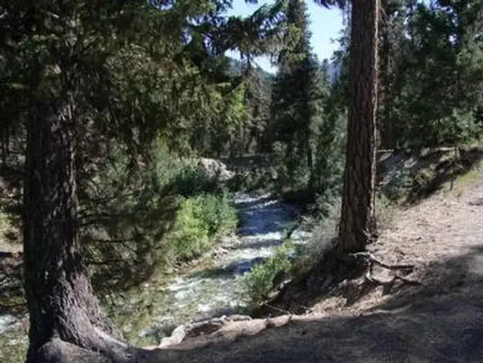 BonnevilleCampingPhoto: Recreation.gov (RIDB) / public domain6.1 mi
- Baron Spire aka Old SmoothieRock climbing8.3 mi
Source: Roamze catalog (indexable pages within 10 miles, PostGIS distance)
- North Fork Boise RiverHiking · ~7 min drivePhoto: Sam Beebe, CC BY 2.0 (via Flickr)
- Observation PeakHiking · ~9 min drive
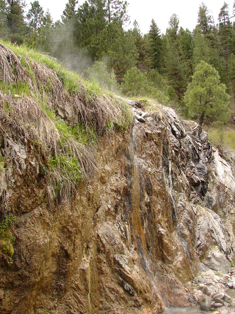 BonnevilleHiking · ~11 min drivePhoto: Fokket, CC BY 2.0 (via Flickr)
 Alpine Way TrailHiking · ~14 min drivePhoto: Fredlyfish4 at English Wikipedia, Public domain (via Wikimedia Commons)
- Trail Creek TrailHiking · ~4 min drive
- ELK MOUNTAINHiking · ~16 min drivePhoto: Fredlyfish4 at English Wikipedia, Public domain (via Wikimedia Commons)
 Goat Lake TrailHiking · ~16 min drivePhoto: jfdervin, CC BY-SA 2.0 (via Flickr)
 ELK MOUNTAIN CUTOFFHiking · ~18 min drivePhoto: Argyleist from Sugarhood, Utah, USA, CC BY 2.0 (via Wikimedia Commons)
 ELK MOUNTAIN LOOKOUTHiking · ~16 min drivePhoto: Stephen Hanafin from Twin Falls, ID, United States, CC BY-SA 2.0 (via Wikimedia Commons)
- Iron Creek-Stanley Lake TrailHiking · ~16 min drivePhoto: Fredlyfish4 at English Wikipedia, Public domain (via Wikimedia Commons)
Map and trail data © OpenStreetMap contributors
