Red Mountain
- 8,723 ft
- summit
- 1
- way up
Is Red Mountain open right now?
Closure in the area
There's a closure order in Boise National Forest. It doesn't name Red Mountain, so check the source for the area it covers.
UPDATED Sept. 19 - Crooked Fire Area, Road, and Trail Closure
Agency closure covering Boise National Forest · Order 0402-03-140 · USFS · Boise National Forest
Lava Fire Road Closure
Agency alert covering Boise National Forest · Order 0402-06-84 · USFS · Boise National Forest
As of · Source: USFS · Boise National Forest. Agencies don't list every closure — check before you go.
Red Mountain is a summit in the Lowman Ranger District of Boise National Forest in Idaho, about 16 miles from the town of Lowman. Distance, climbing and difficulty aren't given here, so the main reasons to look at this peak are its place within the district and its neighbors. Several other destinations sit close by. Catpaw Lake is about 2 miles away and Clear Creek about 2 miles. Lost Lake is roughly 3 miles off, and Bear Valley Creek, a canoeing route, lies about 6 miles away.
Conditions and forecast
Daily highs and lows, wind and the chance of precipitation at the summit and route start for the next 7 days, from the Open-Meteo model.
- Summit elevation
- 8,723 ft
Elevation from USGS 3D Elevation Program terrain data (about 10 m resolution).
Map © Mapbox © OpenStreetMap contributors Questions about Red Mountain
How tall is Red Mountain?
8,723 ft (2,659 m).
How many routes go to the summit of Red Mountain?
One: Red Mountain.
Where do the routes up Red Mountain start?
Red Mountain starts at RED MOUNTAIN TRAILHEAD (about 7,475 ft).
When is the best time to climb Red Mountain?
Year-round.
- Observation Peak9,150 ft · Idaho1 route16 mi away
- Blue Bunch Mountain8,746 ft · Idaho1 route17 mi away
- Ruffneck Peak9,418 ft · Idaho1 route20 mi away
- Silver Creek Summit6,375 ft · Idaho1 route21 mi away
 Thompson Peak10,741 ft · Idaho1 route21 mi awayPhoto: Fredlyfish4, CC BY-SA 3.0 (via Wikimedia Commons)
- Morehead Mountain8,504 ft · Idaho1 route22 mi away
- Catpaw LakeHiking1.8 mi
- Clear CreekHiking2.2 mi
- Lost LakeHiking3.4 mi
- Bear Valley CreekCanoeing5.8 mi
- GATES CREEKHiking7.3 mi
- Kirkham RidgeHiking8.1 mi
 Bull TroutCampingPhoto: Recreation.gov (RIDB) / public domain8.1 mi
- Warm Springs Guard StationCamping8.9 mi
Source: Roamze catalog (indexable pages within 10 miles, PostGIS distance)
 McGowan PeakSummit · ~28 min drivePhoto: Fredlyfish4, CC BY-SA 4.0 (via Wikimedia Commons)
 Mount ReganSummit · ~31 min drivePhoto: Fredlyfish4, CC BY-SA 4.0 (via Wikimedia Commons)
 Alpine PeakSummit · ~32 min drivePhoto: Fredlyfish4, CC BY-SA 3.0 (via Wikimedia Commons)
 Baron PeakSummit · ~34 min drivePhoto: Fredlyfish4, CC BY-SA 3.0 (via Wikimedia Commons)
 Elk PeakSummit · ~41 min drivePhoto: Fredlyfish4, CC BY-SA 3.0 (via Wikimedia Commons)
 Decker PeakSummit · ~45 min drivePhoto: Fredlyfish4, CC BY-SA 4.0 (via Wikimedia Commons)
 Sevy PeakSummit · ~46 min drivePhoto: Fredlyfish4, CC BY-SA 3.0 (via Wikimedia Commons)
- Payette PeakSummit · ~47 min drivePhoto: Fredlyfish4, CC BY-SA 3.0 (via Wikimedia Commons)
 Snowyside PeakSummit · ~52 min drivePhoto: Fredlyfish4, CC BY-SA 3.0 (via Wikimedia Commons)
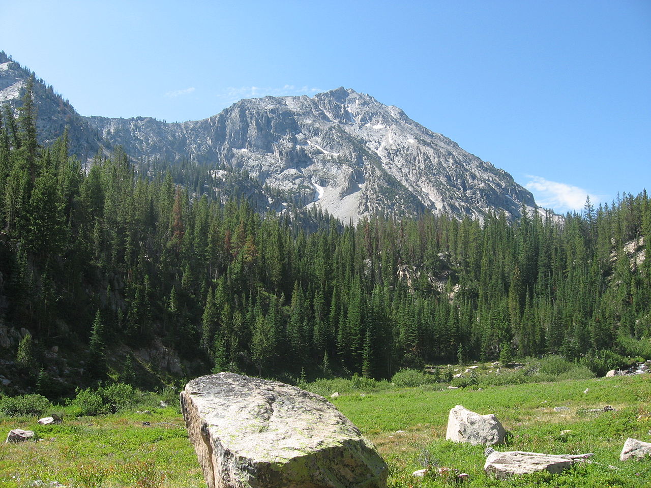 Parks PeakSummit · ~53 min drivePhoto: Fredlyfish4, CC BY-SA 3.0 (via Wikimedia Commons)
