Rd 439 Site 2
Campground
Campground · 1.0 mi from the trail
Closure in the area
There's a closure order in Idaho Panhandle National Forests. It doesn't name Pleasant Creek, so check the source for the area it covers (4 listed).
Emergency Road Closure Lightning Creek / Forest Road 419
Agency closure covering Idaho Panhandle National Forests · Order 0104-06-26-002 · USFS · Idaho Panhandle National Forests
West Fork Eagle Creek/Forest Road 805
Agency closure covering Coeur d'Alene River Ranger District · Order 01-04-03-26-002 · USFS · Coeur d'Alene River Ranger District
Abandoned Mines Area Closure
Agency closure covering Idaho Panhandle National Forests · Order 1-04-00-25-001 · USFS · Idaho Panhandle National Forests
Idaho Panhandle Seasonal Food Storage Order
Agency closure covering Idaho Panhandle National Forests · Order 01-04-00-24-001 · USFS · Idaho Panhandle National Forests
Forest Service Roads 265, 422 and 911 Closure
Agency alert covering Coeur d'Alene River Ranger District · Order 01-04-03-26-018 · USFS · Coeur d'Alene River Ranger District
As of · Source: USFS · Idaho Panhandle National Forests. Agencies don't list every closure — check before you go.
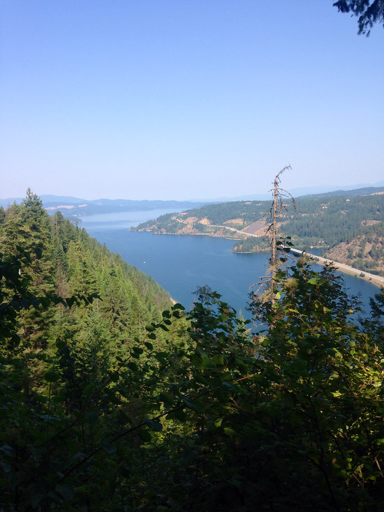
Pleasant Creek is a 7-mile out-and-back hike in Idaho's Coeur d'Alene River Ranger District, part of the Idaho Panhandle National Forests. The trail climbs from 2,547 feet to 4,429 feet, with a total elevation gain of 4,233 feet over the course of the round trip. The route is rated hard. The steepest stretch comes at about 2.9 miles, where the grade reaches 26%. Bikes and horses are both allowed on this natural-surface trail, which is managed by the Forest Service. Summer is the most comfortable time to go. Typical averages from a nearby weather station at Plummer, which sits well below the trail, run to highs around 81°F in July and 83°F in August. At the higher elevations on this hike, temperatures run cooler. The estimated time for the trip is about 4.5 hours. Beauty Creek Campground is about 2 miles away. Trail 257 South and the Mineral Ridge Trail are each a little over 2 miles off. Mineral Ridge Boat Launch is about 2.9 miles away.
Rd 439 Site 2
Campground
 If it rainsAntony-22, CC BY-SA 4.0 · Wikimedia Commons
Local history museum in Coeur d'Alene, Idaho
Places © OpenStreetMap contributors · Photos: Antony-22, CC BY-SA 4.0 (commons)
More in Post FallsNot on Roamze yet. Their page has how to reach them.
 Mineral Ridge TrailHikingPhoto: Umnak, CC BY-SA 2.0 (via Flickr)2.4 mi
Source: Roamze catalog (indexable pages within 10 miles, PostGIS distance)
Mineral Ridge TrailHiking · ~4 min drivePhoto: Umnak, CC BY-SA 2.0 (via Flickr) Red TrailHiking · ~6 min drivePhoto: waterarchives, CC BY-SA 2.0 (via Flickr)Orange TrailHiking · ~7 min drivePhoto: waterarchives, CC BY-SA 2.0 (via Flickr)Blue TrailHiking · ~7 min drivePhoto: waterarchives, CC BY-SA 2.0 (via Flickr)
Best months: April–October. Best months have typical highs of 55–85 °F, lows of 30 °F or warmer (32 °F where the station doesn't record snow), at most one snowy day and no more than 12 wet days.
Jan
37° / 24°
Feb
40° / 25°
Mar
47° / 29°
Apr
55° / 34°
May
65° / 41°
Jun
70° / 45°
Jul
81° / 52°
Aug
83° / 51°
Sep
73° / 44°
Oct
57° / 36°
Nov
43° / 30°
Dec
35° / 23°
Typical high / low (°F) and days with rain or snow, 1991–2020. Measured at Plummer 3 Wsw, ID, 22.4 mi away at 2,905 ft. The station sits about 1,500 ft lower than this place, so expect it a little cooler here. This station doesn't record snowfall. Source: NOAA NCEI U.S. Climate Normals 1991–2020.
Season: Year-round.
About 7.0 mi round trip.
About 4,233 ft of climbing round trip.
It is rated hard.
Year-round.
2: Pleasant Creek and Caribou Ridge.
Daily highs and lows, wind and the chance of precipitation at the summit and route start for the next 7 days, from the Open-Meteo model.
