Road 499 Site 2
Campground
Campground · 1.3 mi from the trail
Closure in the area
There's a closure order in Idaho Panhandle National Forests. It doesn't name HUCKLEBERRY MOUNTAIN, so check the source for the area it covers (4 listed).
Emergency Road Closure Lightning Creek / Forest Road 419
Agency closure covering Idaho Panhandle National Forests · Order 0104-06-26-002 · USFS · Idaho Panhandle National Forests
West Fork Eagle Creek/Forest Road 805
Agency closure covering Coeur d'Alene River Ranger District · Order 01-04-03-26-002 · USFS · Coeur d'Alene River Ranger District
Abandoned Mines Area Closure
Agency closure covering Idaho Panhandle National Forests · Order 1-04-00-25-001 · USFS · Idaho Panhandle National Forests
Idaho Panhandle Seasonal Food Storage Order
Agency closure covering Idaho Panhandle National Forests · Order 01-04-00-24-001 · USFS · Idaho Panhandle National Forests
Forest Service Roads 265, 422 and 911 Closure
Agency alert covering Coeur d'Alene River Ranger District · Order 01-04-03-26-018 · USFS · Coeur d'Alene River Ranger District
As of · Source: USFS · Idaho Panhandle National Forests. Agencies don't list every closure — check before you go.
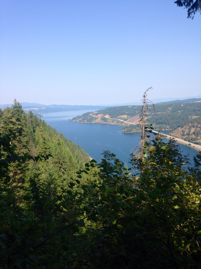
Huckleberry Mountain is a hard out-and-back hike in Idaho's Coeur d'Alene River Ranger District of the Idaho Panhandle National Forests, about 4.4 miles from the town of Harris Landing. The route climbs from a low point of 3,932 feet to a high of 4,792 feet, with a total round-trip gain of 2,974 feet, and the steepest stretch comes within the first half mile, where the grade reaches 30%. The trip covers about 8.3 miles and takes roughly 4.5 hours. Trail D lies about 1.8 miles away, and the Canfield Mountain Trail Cmplex Tr-10 is about 3.1 miles off. Mokins Bay Campground, at about 3.3 miles, offers a place to stay, and Wolf Lodge Creek, a canoeing spot, is about 5.8 miles away.
Road 499 Site 2
Campground
 If it rainsAntony-22, CC BY-SA 4.0 · Wikimedia Commons
Local history museum in Coeur d'Alene, Idaho
Places © OpenStreetMap contributors, Places © Overture Maps Foundation · Photos: Antony-22, CC BY-SA 4.0 (commons)
More in Post FallsNot on Roamze yet. Their page has how to reach them.
 Mokins Bay CampgroundCampingPhoto: Recreation.gov (RIDB) / public domain3.3 mi
Source: Roamze catalog (indexable pages within 10 miles, PostGIS distance)
 Loch Haven Nature TrailHiking · ~12 min drivePhoto: Forest Service - Northern Region, Public Domain Mark (via Flickr)
 Mineral Ridge TrailHiking · ~16 min drivePhoto: Umnak, CC BY-SA 2.0 (via Flickr)
 Blue TrailHiking · ~13 min drivePhoto: waterarchives, CC BY-SA 2.0 (via Flickr)Orange TrailHiking · ~13 min drivePhoto: waterarchives, CC BY-SA 2.0 (via Flickr)
