Patrick Butte Trail
- 12.8 mi
- round trip
- 7,002 ft
- climb
- 8,184 ft
- high point
- Out and back
- route
Is Patrick Butte Trail open right now?
Alert in the area
The Forest Service lists 5 alerts for Payette National Forest.
Over Snow Vehicle Closure (Forestwide)
Agency alert covering Payette National Forest · Order 0412-638 · USFS · Payette National Forest
Over Snow Vehicle Closure (Brundage Mountain Resort Snowcat Routes)
Agency alert covering Payette National Forest · Order 0412-637 · USFS · Payette National Forest
Lost Valley Log Hauling
Agency alert covering Payette National Forest · USFS · Payette National Forest
Over Snow Vehicle Closure (Granite Mountain)
Agency alert covering Payette National Forest · Order 0412-635 · USFS · Payette National Forest
Gordon Titus Upper Elevation Parking Lot Winter Restrictions
Agency alert covering Payette National Forest · Order 0412-543 · USFS · Payette National Forest
As of · Source: USFS · Payette National Forest. Agencies don't list every closure — check before you go.
Patrick Butte Trail is a long, steep out-and-back hike in Idaho's Payette National Forest, within the New Meadows Ranger District. The Forest Service manages the land, and the route starts at about 3,200 feet, rising to a high point of 8,184 feet. The climb is front-loaded, with the bulk of the 7,000-foot total gain coming early in the trip, and the round-trip distance is about 25.7 miles. The trail is rated expert, and the climb is best suited to hikers with experience on long, high routes. Plan for about 12 hours on foot, and expect the full 7,000-foot gain and loss over the course of the day. Several other hikes sit close by. Lake Creek is just 0.1 mile away, and Lake Point is about half a mile off. Lake Creek Trail is roughly 0.9 mile away. For an overnight base, Shorts Bar campground is about 5 miles from the trail.
Local outfitters
- Black Bear RV Park33 mi away
- Oregon Backcountry Outfitting49 mi away
Not on Roamze yet. Their page has how to reach them.
- Lake CreekHiking0.1 mi
- Lake PointHiking0.5 mi
- Lake Creek TrailHiking0.9 mi
- Lake Creek PointHiking2.5 mi
- Shorts BarCamping5.2 mi
- Spring BarCamping5.4 mi
- Manning Crevice Bridge AreaRock climbing5.7 mi
- Spring Bar CampgroundCamping6 mi
Source: Roamze catalog (indexable pages within 10 miles, PostGIS distance)
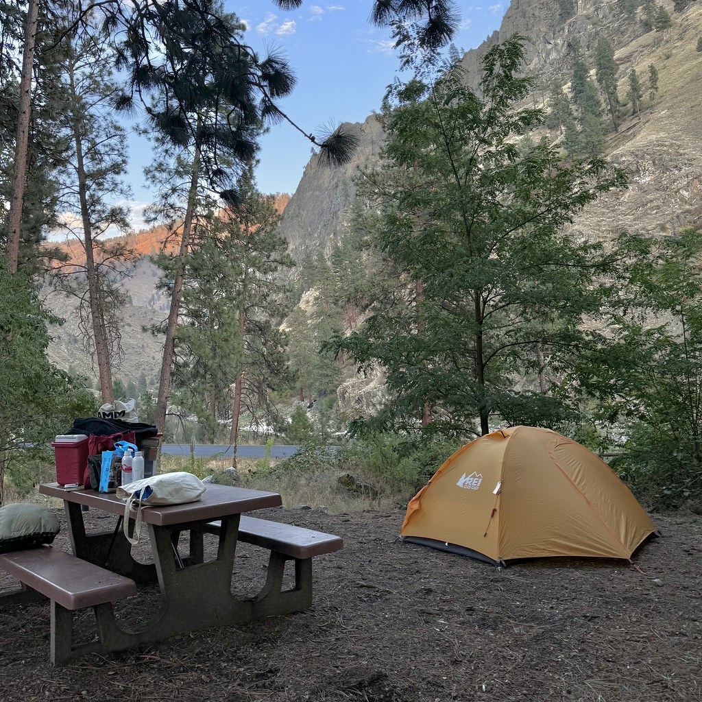 Van Ridge TrailHiking · ~10 min drivePhoto: Seth Tisue, CC BY-SA 2.0 (via Flickr)
 Kelly Mountain TrailHiking · ~11 min drivePhoto: Benutzer:Islandius, Public domain (via Wikimedia Commons)
- Lake Creek TrailHiking · ~1 min drive
- Sampson Spring TrailHiking · ~15 min drive
- VAN RIDGEHiking · ~10 min drivePhoto: Seth Tisue, CC BY-SA 2.0 (via Flickr)
- LAKE CREEKHiking · ~5 min drive
- Paradise LakeHiking · ~7 min drive
- French Creek TrailHiking · ~16 min drive
- KELLY MOUNTAINHiking · ~11 min drivePhoto: Benutzer:Islandius, Public domain (via Wikimedia Commons)
- SHEEP MOUNTAINHiking · ~5 min drive
Map and trail data © OpenStreetMap contributors
