Paradise Lake
- 0.5 mi
- round trip
- 431 ft
- climb
- 7,664 ft
- high point
- Out and back
- route
Caution today
Agency alerts are in effect for this area; weather is marginal · USFS, OpenWeather · checked 7 h ago
Is Paradise Lake open right now?
Alert in the area
The Forest Service lists 5 alerts for Payette National Forest.
Over Snow Vehicle Closure
Agency alert covering Payette National Forest · Order 0412-638 · USFS · Payette National Forest
Brundage Mountain Resort Snowcat Route Closure
Agency alert covering Payette National Forest · Order 0412-637 · USFS · Payette National Forest
Lost Valley Log Hauling
Agency alert covering Payette National Forest · USFS · Payette National Forest
Granite Mountain Over Snow Vehicle Closure
Agency alert covering Payette National Forest · Order 0412-635 · USFS · Payette National Forest
Gordon Titus Upper Elevation Parking Lot Winter Restrictions
Agency alert covering Payette National Forest · Order 0412-543 · USFS · Payette National Forest
As of · Source: USFS · Payette National Forest. Agencies don't list every closure — check before you go.
Paradise Lake is a short, easy hike in Idaho's Payette National Forest, within the New Meadows Ranger District. The trail is about half a mile long, and it's an out-and-back that starts and ends at roughly 7,660 feet, with a high point of 7,664 feet. The climb is gentle, with a total gain of about 430 feet for the round trip, and the steepest stretch comes early on, around 0.18 miles in. The Forest Service manages the land, and the trail is natural-surfaced. Bikes are allowed, but the route is not accessible. The hike is open year-round, and it takes about half an hour to complete. Bear Grass Saddle is less than a mile away, and Gay Lake is about 1.2 miles off. Farther out, Hazard Lake campground and the Manning Crevice Bridge climbing area are both within about 8 miles.
Local outfitters
- Black Bear RV Park29 mi away
Not on Roamze yet. Their page has how to reach them.
- Bear Grass SaddleHiking0.8 mi
- Gay LakeHiking1.2 mi
- ELK LAKEHiking2.5 mi
- Hazard CreekCanoeing6.9 mi
- Manning Crevice Bridge AreaRock climbing7.9 mi
- Hazard LakeCamping8 mi
- Shorts BarCamping8.6 mi
- Spring BarCamping8.6 mi
Source: Roamze catalog (indexable pages within 10 miles, PostGIS distance)
 Kelly Mountain TrailHiking · ~15 min drivePhoto: Benutzer:Islandius, Public domain (via Wikimedia Commons)
- KELLY MOUNTAINHiking · ~15 min drivePhoto: Benutzer:Islandius, Public domain (via Wikimedia Commons)
- Elk CreekHiking · ~5 min drive
- Patrick Butte TrailHiking · ~7 min drive
- ELK LAKEHiking · ~4 min drive
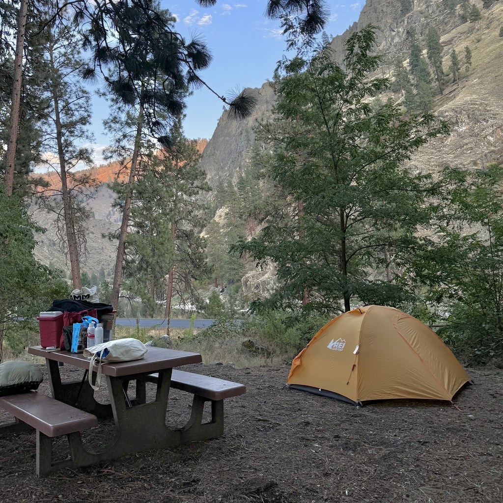 Van Ridge TrailHiking · ~15 min drivePhoto: Seth Tisue, CC BY-SA 2.0 (via Flickr)
- Lake Creek PointHiking · ~5 min drive
- ELKHORN CREEKHiking · ~12 min drive
- LAKE CREEKHiking · ~4 min drive
- Partridge CreekHiking · ~5 min drive
