Sheep Mountain
- 4.1 mi
- round trip
- 2,129 ft
- climb
- 7,858 ft
- high point
- Out and back
- route
Sheep Mountain is a moderate out-and-back hike in Idaho, managed by the State Department of Land. The route is about 8 miles long, with a total elevation gain of 2,129 feet, and it reaches a high point of 7,858 feet. The climb is steepest around mile 3.6, where the grade reaches about 31 percent. The hike starts at an elevation of about 7,424 feet and ends at the same level, so the total gain and loss are each about 2,129 feet. Plan on about four hours for the round trip. Lake Creek Point is less than a mile away, and the Lake Creek hike is about 1.2 miles off. For an overnight stay, Shorts Bar campground is about 5 miles away, and Spring Bar is about 8 miles away.
Local outfitters
- Black Bear RV Park32 mi away
- Oregon Backcountry Outfitting47 mi away
Not on Roamze yet. Their page has how to reach them.
- Lake Creek PointHiking0.7 mi
- LAKE CREEKHiking1.2 mi
- Shorts BarCamping5.3 mi
- Spring BarCamping8.2 mi
- Manning Crevice Bridge AreaRock climbing8.6 mi
- The AmphitheaterRock climbing8.7 mi
- Hazard CreekCanoeing9.4 mi
- Rapid RiverCanoeing9.5 mi
Source: Roamze catalog (indexable pages within 10 miles, PostGIS distance)
 Rattlesnake TrailHiking · ~12 min drivePhoto: Forest Service - Northern Region, Public Domain Mark (via Flickr)
- LAKE CREEKHiking · ~2 min drive
- Dempsey FlatHiking · ~3 min drive
- Patrick Butte TrailHiking · ~5 min drive
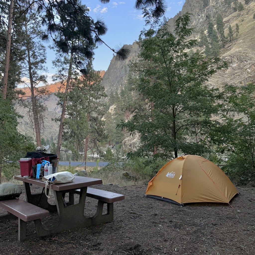 Van Ridge TrailHiking · ~15 min drivePhoto: Seth Tisue, CC BY-SA 2.0 (via Flickr)
- ELK LAKEHiking · ~6 min drive
- Denny CreekHiking · ~5 min drive
- Sampson Spring TrailHiking · ~11 min drive
- VAN RIDGEHiking · ~15 min drivePhoto: Seth Tisue, CC BY-SA 2.0 (via Flickr)
- Hard Butte LookoutHiking · ~12 min drive
