Shafer Butte
Campground
Campground · 4.7 mi from the trail
Closure in the area
There's a closure order in Boise National Forest. It doesn't name Pack Trail, so check the source for the area it covers.
UPDATED Sept. 19 - Crooked Fire Area, Road, and Trail Closure
Agency closure covering Boise National Forest · Order 0402-03-140 · USFS · Boise National Forest
Lava Fire Road Closure
Agency alert covering Boise National Forest · Order 0402-06-84 · USFS · Boise National Forest
As of · Source: USFS · Boise National Forest. Agencies don't list every closure — check before you go.
Pack Trail is an easy, short out-and-back hike in Idaho's Boise National Forest, within the Mountain Home Ranger District. It covers about 1.1 miles round trip, with a total climb of 385 feet from its starting point at 5,849 feet up to a high point of 6,033 feet. The trail is front-loaded, meaning the steepest stretch comes early, around 0.2 miles in. There, the grade reaches about 13%, before easing off the rest of the way. The round trip ends at nearly the same elevation as it starts. The hike takes about half an hour, so it works well as a quick addition to a longer outing in the area. The Forest Service manages the land, and the trail is open year-round. Several other spots sit within a few miles. Gardiner Peak Trail 155 is about 1.3 miles away, and the Gardiner Peak hike is about 1.7 miles off. The Atomic Boulders climbing area is about 4 miles away, and Shafer Butte campground is about 4.7 miles out.
Shafer Butte
Campground
 If it rainsCamEQ, Facade of Art Museum designed by Trout Architects and Mark Mack in 1988, Public domain · Wikimedia Commons
Places © OpenStreetMap contributors, Places © Overture Maps Foundation · Photos: CamEQ, Facade of Art Museum designed by Trout Architects and Mark Mack in 1988, Public domain (commons)
More in Idaho CityNot on Roamze yet. Their page has how to reach them.
Source: Roamze catalog (indexable pages within 10 miles, PostGIS distance)
 #LT3 Doug Fir LoopHiking · ~6 min drivePhoto: cifraser1, CC BY 2.0 (via Flickr)
 The FaceHiking · ~6 min drivePhoto: cifraser1, CC BY 2.0 (via Flickr)
 Deer PointHiking · ~7 min drivePhoto: cifraser1, CC BY 2.0 (via Flickr)
 Cabin TraverseHiking · ~6 min drivePhoto: Matt Lavin, CC BY-SA 2.0 (via Flickr)
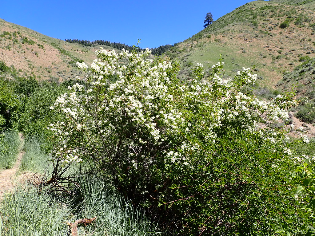 5-MileHiking · ~7 min drivePhoto: Matt Lavin, CC BY-SA 2.0 (via Flickr)
 Bogus Creek LoopHiking · ~7 min drivePhoto: Matt Lavin, CC BY-SA 2.0 (via Flickr)
Map and trail data © OpenStreetMap contributors
