Robie Creek Park Group Shelter
Campground
The next 8 weekends are full on Recreation.gov
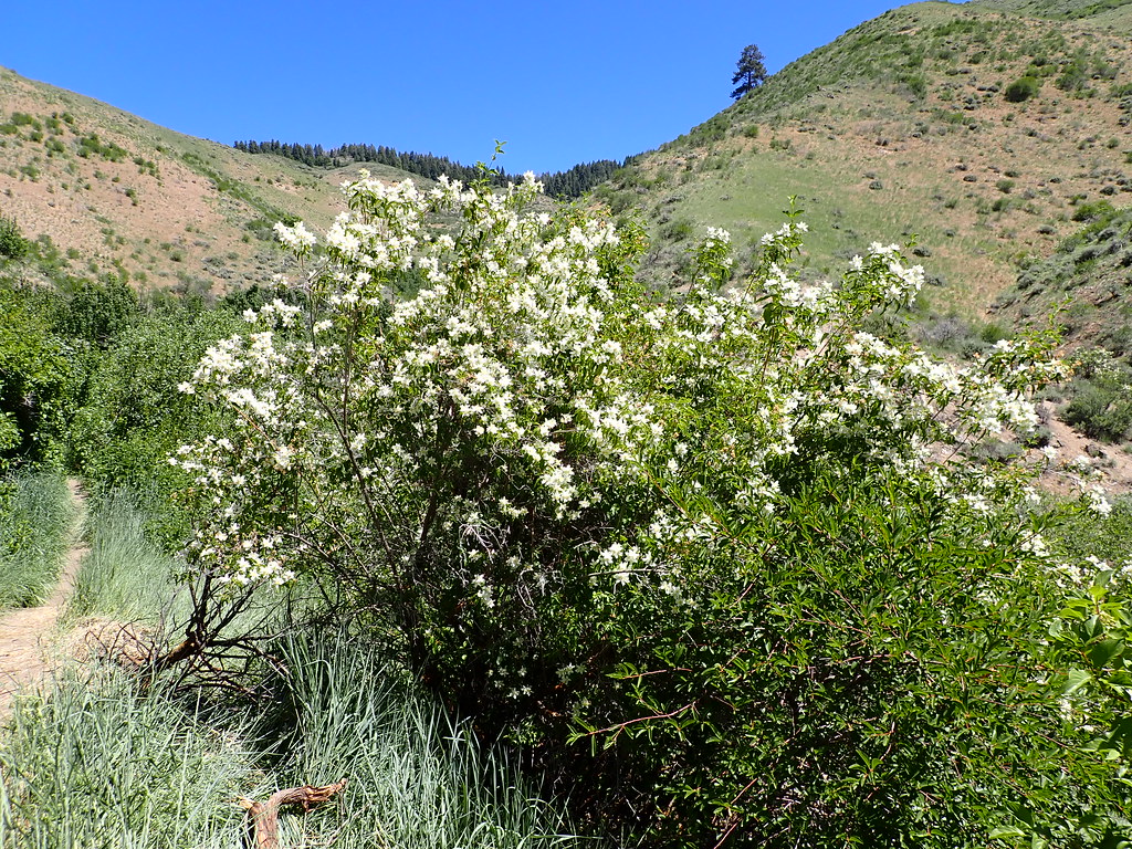 Photo: Matt Lavin, CC BY-SA 2.0 (via Flickr)
Closure in the area
There's a closure order in Boise National Forest. It doesn't name 5-Mile, so check the source for the area it covers.
UPDATED Sept. 19 - Crooked Fire Area, Road, and Trail Closure
Agency closure covering Boise National Forest · Order 0402-03-140 · USFS · Boise National Forest
Lava Fire Road Closure
Agency alert covering Boise National Forest · Order 0402-06-84 · USFS · Boise National Forest
As of · Source: USFS · Boise National Forest. Agencies don't list every closure — check before you go.
The 5-Mile hike is a 3.6-mile out-and-back trail in Idaho's Boise National Forest, within the Mountain Home Ranger District. The Forest Service manages the land, and the trail is rated moderate, with a one-way elevation gain of 1,386 feet. The route starts at about 5,855 feet and climbs to a high point of 5,861 feet, with the steepest stretch at about 0.46 miles in, where the grade reaches 30 percent. The trail is natural-surfaced and open to both horses and bikes. It is not an accessible trail. The trip is estimated to take about three hours, and the trailhead is named TRAIL 4 TRAILHEAD. The trail is open year-round. Nearby, the #4a Hull's Ridge Trail for mountain biking sits about 0.3 miles away, and the Prospect Trail is about 0.9 miles off. Climbers can head to Bee Block, about 3.3 miles away, and anglers can reach the Boise River, about 7 miles away.
Robie Creek Park Group Shelter
Campground
 If it rainsCamEQ, Facade of Art Museum designed by Trout Architects and Mark Mack in 1988, Public domain · Wikimedia Commons
Places © OpenStreetMap contributors · Photos: CamEQ, Facade of Art Museum designed by Trout Architects and Mark Mack in 1988, Public domain (commons)
More in Idaho CityNot on Roamze yet. Their page has how to reach them.
Photo: Matt Lavin, CC BY-SA 2.0 (via Flickr)#4a Hull's Ridge Trail
Next door
0.86-mile out-and-back trail in Idaho with 576 ft elevation gain
 Photo: Matt Lavin, CC BY-SA 2.0 (via Flickr)
#6 Femrite's Patrol Trail
~2 min drive
#6 Femrite's Patrol Trail is a 7.18-mile out-and-back route in Idaho with 2,546 ft gain.
 Photo: Matt Lavin, CC BY-SA 2.0 (via Flickr)
#5 Freestone Ridge
~5 min drive
#5 Freestone Ridge is a 4.04-mile out-and-back trail in Idaho with 1,071 ft gain.
HIKE
#78 Dry Creek
~6 min drive
#78 Dry Creek is a 15.38-mile out-and-back trail in Idaho with 3,115 ft gain/loss.
Photo: Matt Lavin, CC BY-SA 2.0 (via Flickr)Prospect Trail
~2 min drive
1.12-mile out-and-back hike in Idaho with 985 ft elevation gain and loss.
HIKE
#79 Shingle Creek
~6 min drive
#79 Shingle Creek is a 9.62-mile out-and-back trail in Idaho with 2,802 ft gain.
 Photo: cifraser1, CC BY 2.0 (via Flickr)
#LT3 Doug Fir Loop
~9 min drive
#LT3 Doug Fir Loop is a 1.81-mile loop in Idaho with 818 ft gain and 904 ft loss.
Photo: Matt Lavin, CC BY-SA 2.0 (via Flickr)Orchard Gulch
~2 min drive
0.66-mile out-and-back trail in Idaho with 23 ft of elevation gain.
HIKE
#LT6 To Dry Creek
~7 min drive
#LT6 To Dry Creek is a 6.56-mile out-and-back trail in Idaho with 2,883 ft gain/loss.
 Photo: cifraser1, CC BY 2.0 (via Flickr)
Mahalo
~10 min drive
5.37-mile out-and-back trail in Idaho with 121 ft of elevation gain.

