Shafer Butte
Campground
Campground · 1.4 mi from the trail
 Photo: Matt Lavin, CC BY-SA 2.0 (via Flickr)
Closure in the area
There's a closure order in Boise National Forest. It doesn't name Cabin Traverse, so check the source for the area it covers.
UPDATED Sept. 19 - Crooked Fire Area, Road, and Trail Closure
Agency closure covering Boise National Forest · Order 0402-03-140 · USFS · Boise National Forest
Lava Fire Road Closure
Agency alert covering Boise National Forest · Order 0402-06-84 · USFS · Boise National Forest
As of · Source: USFS · Boise National Forest. Agencies don't list every closure — check before you go.
Cabin Traverse is an easy 1.5-mile out-and-back hike in the Mountain Home Ranger District of Idaho's Boise National Forest, managed by the Forest Service. The trail gains about 417 feet, from a low of roughly 7,049 feet to a high of about 7,469 feet. The route is natural-surfaced and allows bikes, so it works for hikers and mountain bikers alike. The climb is gentle, and the trail is short enough to fit into a day of exploring the surrounding area. The Face and #93 The Face sit about 0.1 mile away, and the Shindig hike is about 0.2 mile off. Climbers can head to Bogus Boulders, about 1.2 miles away, and Shafer Butte campground is about 1.4 miles away.
Shafer Butte
Campground
Pine Creek Base
Restaurant
 If it rainsCamEQ, Facade of Art Museum designed by Trout Architects and Mark Mack in 1988, Public domain · Wikimedia Commons
Places © OpenStreetMap contributors · Photos: CamEQ, Facade of Art Museum designed by Trout Architects and Mark Mack in 1988, Public domain (commons)
More in Idaho CityNot on Roamze yet. Their page has how to reach them.
 The FaceHikingPhoto: cifraser1, CC BY 2.0 (via Flickr)0.1 mi
Source: Roamze catalog (indexable pages within 10 miles, PostGIS distance)
The FaceHiking · Next doorPhoto: cifraser1, CC BY 2.0 (via Flickr)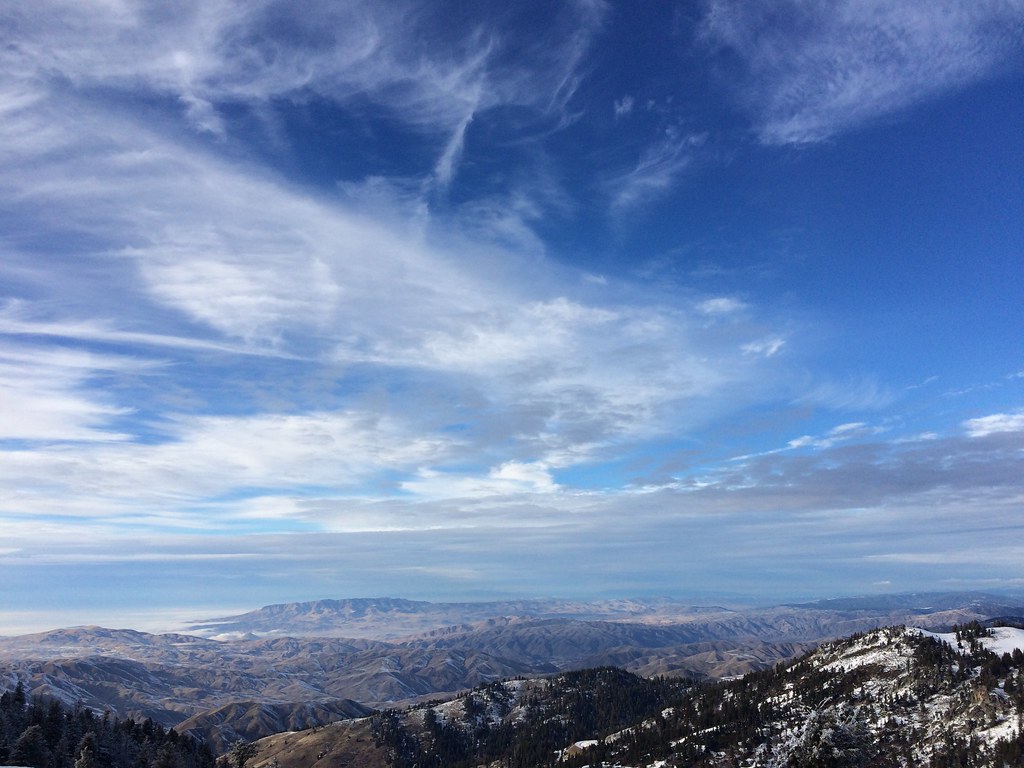 Elk MeadowsHiking · ~1 min drivePhoto: FunGi_ (Trading), CC BY-SA 2.0 (via Flickr)
 Bogus Creek LoopHiking · Next doorPhoto: Matt Lavin, CC BY-SA 2.0 (via Flickr)
 MahaloHiking · ~2 min drivePhoto: cifraser1, CC BY 2.0 (via Flickr)
 Brewers BywayHiking · ~1 min drivePhoto: cifraser1, CC BY 2.0 (via Flickr)
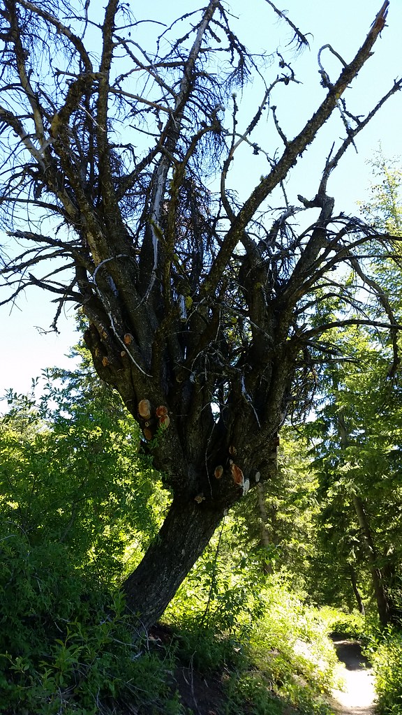 #98 Around the MountainHiking · ~2 min drivePhoto: cifraser1, CC BY 2.0 (via Flickr)
About 1.5 mi round trip.
About 417 ft of climbing round trip.
It is rated easy.
2: Packing and Cabin Traverse.
Daily highs and lows, wind and the chance of precipitation at the summit and route start for the next 7 days, from the Open-Meteo model.

