Shafer Butte
Campground
Campground · 1.6 mi from the trail
Closure in the area
There's a closure order in Boise National Forest. It doesn't name Bob's Knob Uphill Route, so check the source for the area it covers.
UPDATED Sept. 19 - Crooked Fire Area, Road, and Trail Closure
Agency closure covering Boise National Forest · Order 0402-03-140 · USFS · Boise National Forest
Lava Fire Road Closure
Agency alert covering Boise National Forest · Order 0402-06-84 · USFS · Boise National Forest
As of · Source: USFS · Boise National Forest. Agencies don't list every closure — check before you go.
Bob's Knob Uphill Route is a short, out-and-back ski touring route in Idaho's Boise National Forest, within the Mountain Home Ranger District. The Forest Service manages the land, and the route starts at about 6,365 feet, rising to a high point of 6,564 feet over a round trip of about 1.5 miles with a total elevation gain of 636 feet. The steepest stretch comes at about 0.33 miles in, with a grade of 16 percent. The route is a compact climb, and the return trip mirrors the ascent. The nearest town is Mountain Home, and the surrounding area offers a mix of hiking, mountain biking and climbing within a few miles. Nearby, Around the Mountain is a hike about 0.4 miles away, and Cabin Traverse is about 0.7 miles off. The #93 The Face mountain bike trail is also about 0.7 miles away. For an overnight stay, Shafer Butte campground sits about 1.6 miles from the route.
Shafer Butte
Campground
Pine Creek Base
Restaurant
 If it rainsCamEQ, Facade of Art Museum designed by Trout Architects and Mark Mack in 1988, Public domain · Wikimedia Commons
Places © OpenStreetMap contributors · Photos: CamEQ, Facade of Art Museum designed by Trout Architects and Mark Mack in 1988, Public domain (commons)
More in Idaho City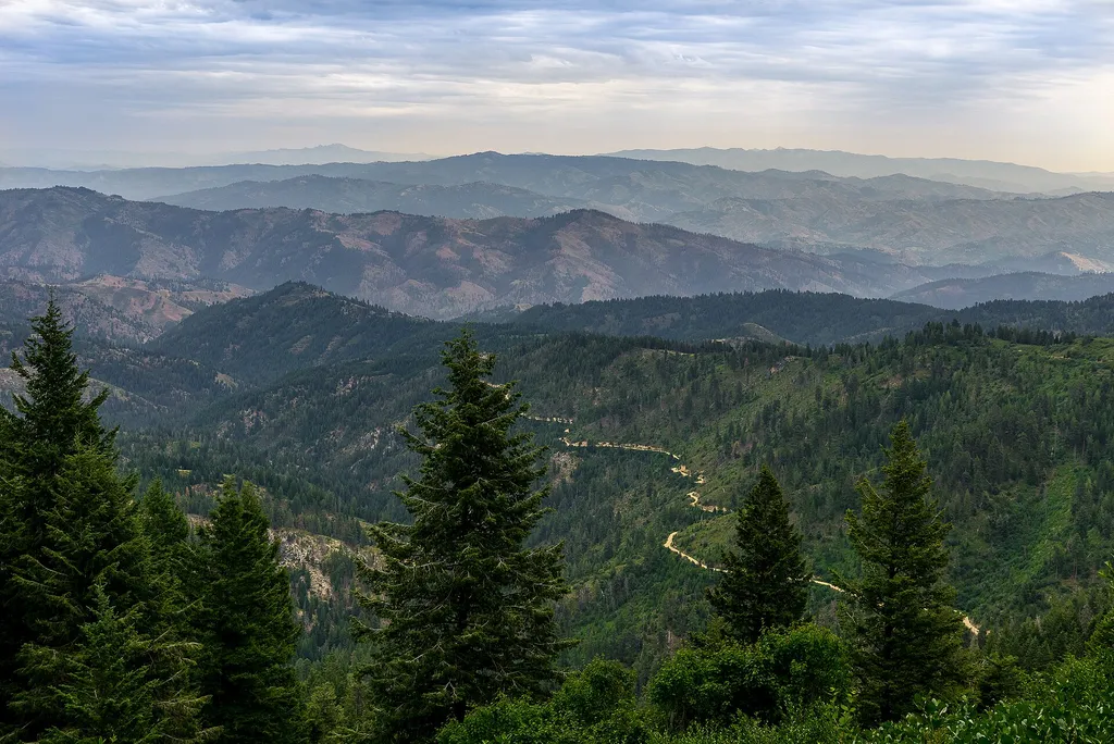 Around the MountainHikingPhoto: Josh Lehman joshlehman — Wikimedia Commons (CC0)0.4 mi
 Cabin TraverseHikingPhoto: Matt Lavin, CC BY-SA 2.0 (via Flickr)0.7 mi
Source: Roamze catalog (indexable pages within 10 miles, PostGIS distance)
 Lower Loop NordicCross-country skiing · ~4 min drivePhoto: Josh Lehman joshlehman, CC0 (via Wikimedia Commons)
Map and trail data © OpenStreetMap contributors
