North Basin
- 11.7 mi
- round trip
- 1,275 ft
- climb
- 8,274 ft
- high point
- Out and back
- route
Is North Basin open right now?
Alert in the area
The Forest Service lists an alert for Salmon-Challis National Forest.
Stoddard Bridge Construction Closure
Agency alert covering Salmon-Challis National Forest · Order 0413-07-17 · USFS · Salmon-Challis National Forest
As of · Source: USFS · Salmon-Challis National Forest. Agencies don't list every closure — check before you go.
North Basin is a hard hike of about 11.7 miles in the Salmon-Cobalt Ranger District of Idaho's Salmon-Challis National Forest. The trail is an out-and-back route that climbs from a low point of about 6,827 feet to a high point of 8,274 feet, a total gain of roughly 1,275 feet. The Forest Service manages the land, and the trail is on natural surface, with horses and bikes both allowed. The trail is open year round, and the climb is a long, steady one. Plan on time for the full route, and know that the trail is not short or easy. Nearby, Basin Creek and the Basin- BLM Cutoff both lie about 3.4 miles away, and Lime Creek is about 4.3 miles off. Buck Lake sits about 6.7 miles from the trail.
- BASIN- BLM CUTOFFHiking3.4 mi
- BASIN CREEKHiking3.4 mi
- LIME CREEKHiking4.3 mi
- North Fork MckimHiking6.1 mi
- BASIN CREEK-HIGHHiking6.6 mi
- Buck LakeHiking6.7 mi
- UPPER BEAR VALLEY LAKESHiking6.8 mi
- Hayden CreekCanoeing9.7 mi
Source: Roamze catalog (indexable pages within 10 miles, PostGIS distance)
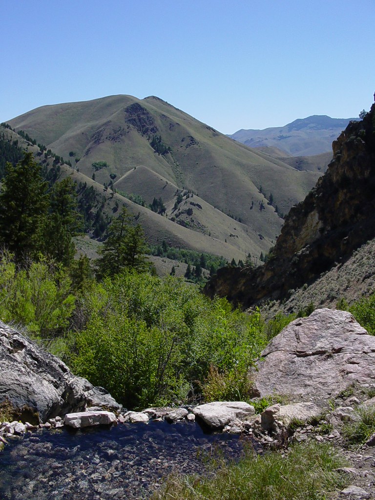 Goldbug Hot Springs TrailHiking · ~12 min drivePhoto: Ben B Miller, CC BY-SA 2.0 (via Flickr)
 Lime CreekHiking · ~13 min drivePhoto: waterarchives, CC BY-SA 2.0 (via Flickr)
 Mckim CreekHiking · ~17 min drivePhoto: User:akampfer, CC BY-SA 3.0 (via Wikimedia Commons)
- HAYDEN CREEKHiking · ~17 min drive
- BASIN CREEKHiking · ~6 min drive
- North Fork MckimHiking · ~10 min drive
- BASIN- BLM CUTOFFHiking · ~6 min drive
- WARM SPRINGS-AGENCY LOOP WTHiking · ~28 min drive
- LIME CREEKHiking · ~7 min drive
- BASIN CREEK-HIGHHiking · ~11 min drive

