Carol Creek
- 2.6 mi
- round trip
- 1,768 ft
- climb
- 8,515 ft
- high point
- Out and back
- route
Is CAROL CREEK open right now?
Alert in the area
The Forest Service lists an alert for Salmon-Challis National Forest.
Stoddard Bridge Construction Closure
Agency alert covering Salmon-Challis National Forest · Order 0413-07-17 · USFS · Salmon-Challis National Forest
As of · Source: USFS · Salmon-Challis National Forest. Agencies don't list every closure — check before you go.
Carol Creek is a moderate out-and-back hike in Idaho's Salmon-Challis National Forest, within the Leadore Ranger District. The trail is about 5 miles long, with a total elevation gain of roughly 1,770 feet, and it starts and ends at about 6,850 feet. The high point on the route reaches about 8,515 feet, and the climb is front-loaded, with the steepest stretch around the 2-mile mark, where the grade reaches about 23%. The Forest Service manages the land, and the hike is rated moderate. Plan on about 2.5 hours for the round trip. Several other hikes lie within a few miles, including Patterson-Morse Creek and Morse Creek Canyon, both about 3.7 miles away, and Hayden Creek at about 4.4 miles. Morse Creek Campground, about 5.7 miles off, offers a place to stay.
Local outfitters
- The Sawmill Station48 mi away
Not on Roamze yet. Their page has how to reach them.
- Patterson-Morse CreekHiking3.7 mi
- MORSE CREEK CANYONHiking3.7 mi
- HAYDEN CREEKHiking4.4 mi
- KADLETZ CREEKHiking4.9 mi
- East Fork Hayden CreekHiking5.1 mi
- Morse Creek CampgroundCamping5.7 mi
- BEAR VALLEY LAKES NRTHiking6.5 mi
- BASIN CREEK-HIGH SPUR 1Hiking6.8 mi
Source: Roamze catalog (indexable pages within 10 miles, PostGIS distance)
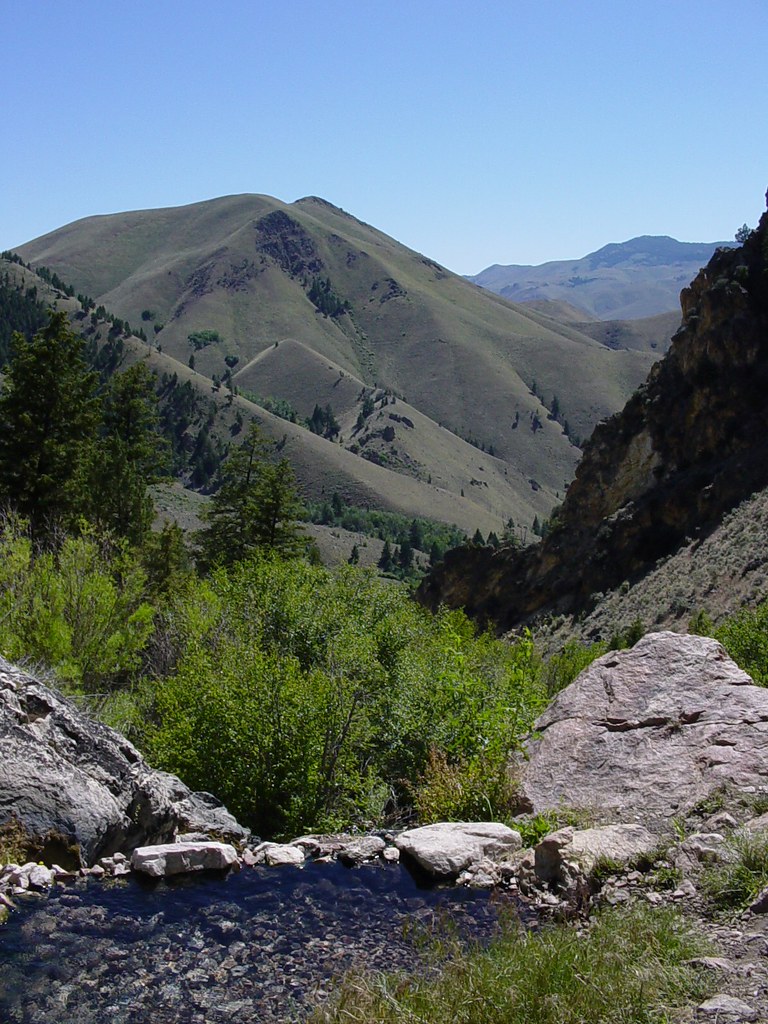 Goldbug Hot Springs TrailHiking · ~29 min drivePhoto: Ben B Miller, CC BY-SA 2.0 (via Flickr)
 Lime CreekHiking · ~32 min drivePhoto: waterarchives, CC BY-SA 2.0 (via Flickr)
 Mckim CreekHiking · ~23 min drivePhoto: User:akampfer, CC BY-SA 3.0 (via Wikimedia Commons)
- HAYDEN CREEKHiking · ~7 min drive
- MORSE CREEK CANYONHiking · ~6 min drive
- Patterson-Morse CreekHiking · ~6 min drive
- STROUD CREEKHiking · ~13 min drive
- MILL-HAYDEN LOOP WTHiking · ~12 min drive
- PATTERSON-MORSE CREEKHiking · ~9 min drive
- East Fork Hayden CreekHiking · ~9 min drive

