Duck Creek Point
- 9.0 mi
- round trip
- 2,193 ft
- climb
- 9,134 ft
- high point
- Out and back
- route
Is Duck Creek Point open right now?
Alert in the area
The Forest Service lists an alert for Salmon-Challis National Forest.
Stoddard Bridge Construction Closure
Agency alert covering Salmon-Challis National Forest · Order 0413-07-17 · USFS · Salmon-Challis National Forest
As of · Source: USFS · Salmon-Challis National Forest. Agencies don't list every closure — check before you go.
Duck Creek Point is a hard out-and-back hike in Idaho's Frank Church-River of No Return Wilderness, within the North Fork Ranger District of the Salmon-Challis National Forest. The route covers about 9 miles round trip on a natural surface. Expect a sustained climb of about 2,200 feet one way. The trail starts near 7,000 feet and tops out a little above 9,100 feet, so the outbound leg is mostly uphill and the return mostly downhill. Plan on high-elevation hiking from start to finish. Hikers share the trail with horses and bikes, which are both allowed. It is not an accessible trail. Dry Gulch is less than a mile away, and Little Jacket and Lower Yellowjacket are both within about 2 miles. For an overnight base, Yellowjacket Guard Station campground is roughly 6 miles off.
Local outfitters
- The Sawmill Station47 mi away
Not on Roamze yet. Their page has how to reach them.
Conditions and forecast on Duck Creek Point
Daily highs and lows, wind and the chance of precipitation at the summit and route start for the next 7 days, from the Open-Meteo model.
- Dry GulchHiking0.8 mi
- Little JacketHiking1.7 mi
- Lower YellowjacketHiking1.9 mi
- HOODOO CREEK TRAILHiking3.5 mi
- Hoodoo CreekHiking3.6 mi
- Yellowjacket CreekCanoeing3.7 mi
- Yellowjacket Guard StationCamping5.8 mi
- Camas CreekCanoeing9.2 mi
Source: Roamze catalog (indexable pages within 10 miles, PostGIS distance)
 BEAGLE CREEKHiking · ~10 min drivePhoto: Bplewe, CC BY-SA 4.0 (via Wikimedia Commons)
- Upper Yellowjacket Cr.Hiking · ~11 min drivePhoto: Bplewe, CC BY-SA 4.0 (via Wikimedia Commons)
- HOODOO TRAILHiking · ~15 min drive
- Upper Yellowjacket Cr.Hiking · ~18 min drive
- PARADISE CR. CUTOFFHiking · ~22 min drive
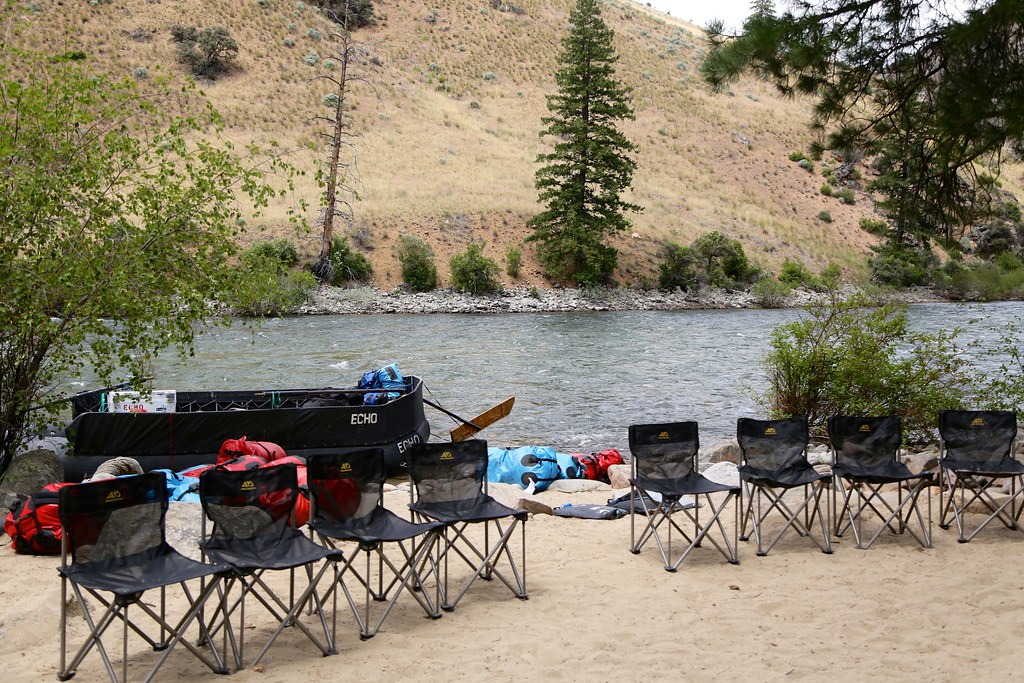 Bear Creek Pt.Hiking · ~14 min drivePhoto: Northwest Rafting Company, CC BY 2.0 (via Flickr)
- Brush Cr-Sheep CrHiking · ~16 min drive
- SingheiserHiking · ~20 min drive
- WOODTICK CUTOFFHiking · ~13 min drive
- Dry GulchHiking · ~1 min drive
Route details
- Distance
- 9.0 mi round trip
- Climbing
- About 2,193 ft
- Summit
- 9,134 ft
- Difficulty
- Hard
Season
Season: Year-round.
Questions about this route
How long is the Duck Creek Point on Duck Creek Point?
About 9.0 mi round trip.
How much elevation gain is on the Duck Creek Point?
About 2,193 ft of climbing round trip.
How hard is the Duck Creek Point?
It is rated hard.
When is the best time for the Duck Creek Point?
Year-round.
