Bad Bear Campground
Campground
Campground · 5.0 mi from the trail
Closure in the area
There's a closure order in Boise National Forest. It doesn't name COULTER SUMMIT, so check the source for the area it covers.
UPDATED Sept. 19 - Crooked Fire Area, Road, and Trail Closure
Agency closure covering Boise National Forest · Order 0402-03-140 · USFS · Boise National Forest
Lava Fire Road Closure
Agency alert covering Boise National Forest · Order 0402-06-84 · USFS · Boise National Forest
As of · Source: USFS · Boise National Forest. Agencies don't list every closure — check before you go.
Coulters Summit is a moderate out-and-back hike in Idaho's Boise National Forest, within the Idaho City Ranger District. The trail is about 5 miles long, with a total elevation gain of about 2,000 feet, and it starts and ends at roughly 6,300 feet. The high point on the route reaches about 7,800 feet, and the steepest stretch comes early, around 0.4 miles in, with a grade of about 29 percent. The trip takes about 2.5 hours, and the route is rolling rather than a single climb. The Forest Service manages the land, and the trail is an out-and-back, so you return the same way you came. Washington Ridge is the closest nearby hike, about 2.4 miles away. Bad Bear Campground and Hayfork Group Campground are both about 5 miles off, and Grimes Creek offers canoeing about 4.6 miles away.
Bad Bear Campground
Campground
 If it rainsj.a.woodhouse from United States, CC BY 2.0 · Wikimedia Commons
Places © OpenStreetMap contributors, Places © Overture Maps Foundation · Photos: j.a.woodhouse from United States, CC BY 2.0 (commons)
More in Idaho CityNot on Roamze yet. Their page has how to reach them.
Daily highs and lows, wind and the chance of precipitation at the summit and route start for the next 7 days, from the Open-Meteo model.
 Grimes CreekCanoeingPhoto: Rickmouser45, CC BY-SA 4.0 (via Wikimedia Commons)4.6 mi
Source: Roamze catalog (indexable pages within 10 miles, PostGIS distance)
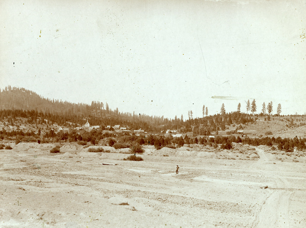 Granite Ck InterpretiveHiking · ~14 min drivePhoto: waterarchives, CC BY-SA 2.0 (via Flickr)UPPER MORES CREEKHiking · ~16 min drivePhoto: waterarchives, CC BY-SA 2.0 (via Flickr)Steamboat TrailHiking · ~16 min drivePhoto: waterarchives, CC BY-SA 2.0 (via Flickr)
Also worth it near here
About 2.6 mi round trip.
About 2,008 ft of climbing round trip.
It is rated moderate.
About 1.5 hours round trip.
