Ten Mile Campground
Campground
Campground · 2.8 mi from the trail
Closure in the area
There's a closure order in Boise National Forest. It doesn't name WASHINGTON RIDGE, so check the source for the area it covers.
UPDATED Sept. 19 - Crooked Fire Area, Road, and Trail Closure
Agency closure covering Boise National Forest · Order 0402-03-140 · USFS · Boise National Forest
Lava Fire Road Closure
Agency alert covering Boise National Forest · Order 0402-06-84 · USFS · Boise National Forest
As of · Source: USFS · Boise National Forest. Agencies don't list every closure — check before you go.
Washington Ridge is an easy out-and-back hike of about 2 miles in Idaho's Boise National Forest, on the Idaho City Ranger District. It is a short, low-effort route that makes a convenient stop for anyone exploring the surrounding national forest land. The trail starts near 6,672 feet and climbs to a high point of 6,689 feet, with a total gain of about 355 feet over the course of the trip. The steepest stretch comes around the 0.76-mile mark, where the grade reaches about 11%. The trail is roughly 1.9 miles long, and the whole trip should take about an hour. The Idaho City Ranger District manages the land, and the Forest Service oversees it. For more time on foot, Coulter Summit lies about 2.4 miles away, and Summit Flat is about 4.4 miles off. Bad Bear Campground and Hayfork Group Campground are both within about 3 miles for anyone planning an overnight stay.
Ten Mile Campground
Campground
 If it rainsj.a.woodhouse from United States, CC BY 2.0 · Wikimedia Commons
Places © OpenStreetMap contributors, Places © Overture Maps Foundation · Photos: j.a.woodhouse from United States, CC BY 2.0 (commons)
More in Idaho CityNot on Roamze yet. Their page has how to reach them.
 Grimes CreekCanoeingPhoto: Rickmouser45, CC BY-SA 4.0 (via Wikimedia Commons)5.2 mi
 Mores CreekCanoeingPhoto: U.S. Forest Service, Public domain (via Wikimedia Commons)9 mi
Source: Roamze catalog (indexable pages within 10 miles, PostGIS distance)
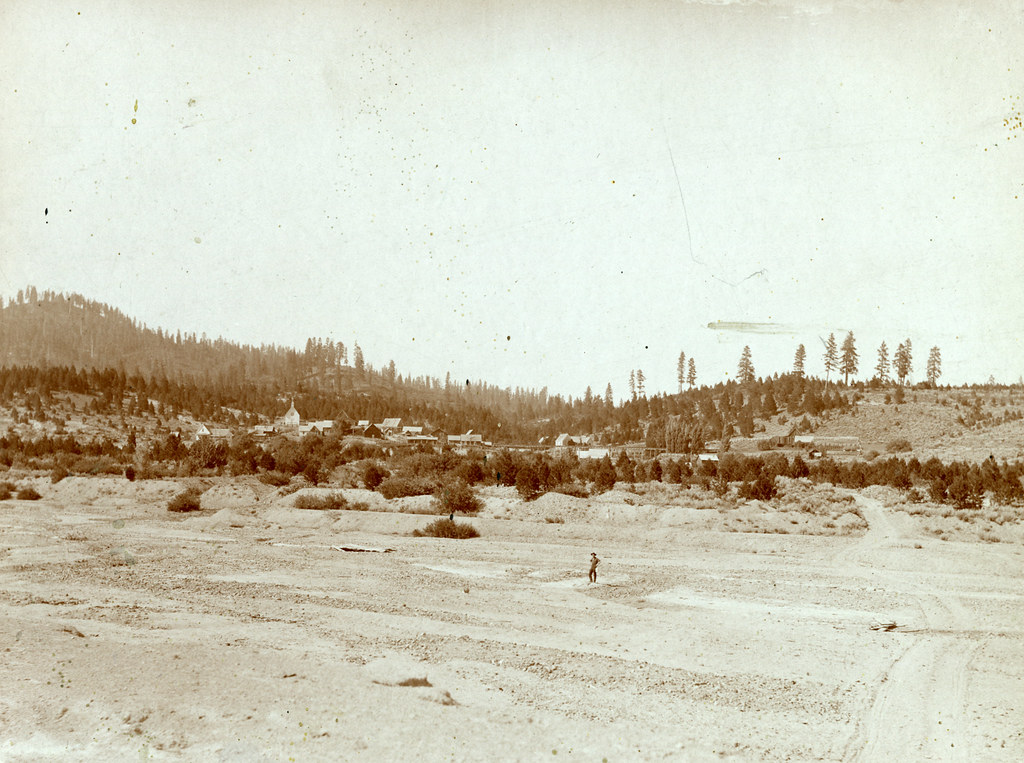 Granite Ck InterpretiveHiking · ~11 min drivePhoto: waterarchives, CC BY-SA 2.0 (via Flickr)
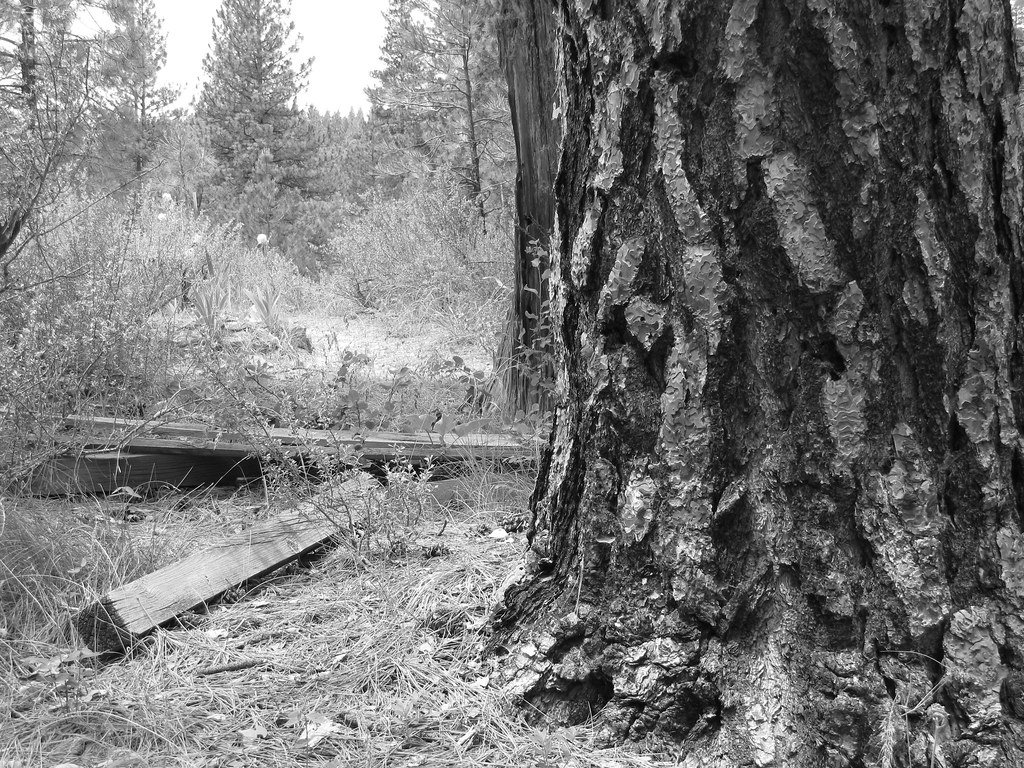 Charcoal Gulch TrailHiking · ~14 min drivePhoto: Fokket, CC BY 2.0 (via Flickr)UPPER MORES CREEKHiking · ~13 min drivePhoto: waterarchives, CC BY-SA 2.0 (via Flickr)Steamboat TrailHiking · ~13 min drivePhoto: waterarchives, CC BY-SA 2.0 (via Flickr)
