Crooked Rock
Crooked Rock in Idaho has 7 climbing routes with 4 difficulty grades.
- 7 routes
- 5.8 – 5.10a/b
- Alpine
Is Crooked Rock open right now?
Closure in the area
There's a closure order in Boise National Forest. It doesn't name Crooked Rock, so check the source for the area it covers.
UPDATED Sept. 19 - Crooked Fire Area, Road, and Trail Closure
Agency closure covering Boise National Forest · Order 0402-03-140 · USFS · Boise National Forest
Lava Fire Road Closure
Agency alert covering Boise National Forest · Order 0402-06-84 · USFS · Boise National Forest
As of · Source: USFS · Boise National Forest. Agencies don't list every closure — check before you go.
Best time to visit Crooked Rock
Best months: May–June and September. Best months have typical highs of 55–85 °F, lows of 30 °F or warmer (32 °F where the station doesn't record snow), at most one snowy day and no more than 12 wet days.
Jan
34° / 16°
Feb
40° / 17°
Mar
49° / 25°
Apr
56° / 30°
May
68° / 35°
Jun
77° / 41°
Jul
87° / 45°
Aug
86° / 42°
Sep
76° / 37°
Oct
61° / 28°
Nov
43° / 22°
Dec
33° / 16°
Typical high / low (°F) and days with rain or snow, 1991–2020. Measured at Lowman, ID, 9.2 mi away at 3,920 ft. The station sits about 1,600 ft lower than this place, so expect it a little cooler here. This station doesn't record snowfall. Source: NOAA NCEI U.S. Climate Normals 1991–2020.
Crooked Rock is a climbing area in Idaho's Boise National Forest, within the Idaho City Ranger District. The Forest Service manages the land, and the area sits among a cluster of hiking routes and campgrounds, making it a natural base for a day or longer in the district. The climbing here is alpine, with seven routes spread across the area. Grades run from 5.8 to 5.10a/b, and the most common are 5.8 and 5.10a. Among the named routes are Dog who stole things at 5.8, Runaway Jim at 5.10a and Axilla at 5.10a/b. Summer is the most comfortable time to climb. Typical averages from the nearby Lowman weather station, which sits about 1,600 feet lower, show July highs around 87°F with lows near 45°F. Winter is cold, with January highs around 34°F and lows near 16°F. Several hikes start close by, including Beaver Creek at half a mile and Crooked River at 0.6 miles. Edna Creek Campground is about 1.6 miles away, and Willow Creek Campground is about 3.3 miles away.
Keep exploring — more climbs worth the drive
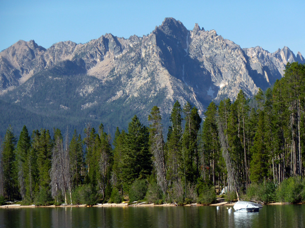 Photo: treegrow, CC BY 2.0 (via Flickr)
Redfish Lake Bouldering
~1h 1m drive
Redfish Lake Bouldering in Idaho has 2 bouldering routes with mixed protection.
 Photo: Matt Lavin, CC BY-SA 2.0 (via Flickr)
The Fortress
~1h 3m drive
The Fortress is a climbing area in Idaho with 9 routes.
Photo: Matt Lavin, CC BY-SA 2.0 (via Flickr)Table Rock
~1h 3m drive
Table Rock in Idaho has 18 climbing routes with 16 difficulty grades, offering bouldering, mixed, and sport styles.
Photo: Matt Lavin, CC BY-SA 2.0 (via Flickr)Bob's Nose
~1h 3m drive
Bob's Nose in Idaho has 5 bouldering routes across 4 difficulty grades.
 Photo: Fredlyfish4 at English Wikipedia, CC BY-SA 3.0 (via Wikimedia Commons)
Roundabout Boulder
~1h 3m drive
Roundabout Boulder in Idaho has 9 bouldering routes across 8 grades.
 Photo: cifraser1, CC BY 2.0 (via Flickr)
Scary Canyon
~1h 4m drive
Scary Canyon in Idaho has 10 sport climbing routes across 6 grades.
 Photo: cifraser1, CC BY 2.0 (via Flickr)
Populace Wall
~1h 5m drive
Populace Wall in Idaho has 13 climbing routes across 6 grades in mixed, sport, and trad styles.
 Photo: cifraser1, CC BY 2.0 (via Flickr)
Green Acres
~1h 5m drive
Green Acres in Idaho has 10 climbing routes across 6 grades, offering sport and trad options.
 Photo: tinosa, Public domain (via Wikimedia Commons)
The dam buttress
~1h 22m drive
Dam Buttress in Idaho has 7 climbing routes with sport and trad options.
Photo: tinosa, Public domain (via Wikimedia Commons)The towers at 202
~1h 22m drive
11-route climbing area in Idaho with mixed, sport, and trad styles.

