Cottonwood Campground
Campground
Campground · 2.5 mi from the trail
Closure in the area
There's a closure order in Boise National Forest. It doesn't name Cottonwood, so check the source for the area it covers.
UPDATED Sept. 19 - Crooked Fire Area, Road, and Trail Closure
Agency closure covering Boise National Forest · Order 0402-03-140 · USFS · Boise National Forest
Lava Fire Road Closure
Agency alert covering Boise National Forest · Order 0402-06-84 · USFS · Boise National Forest
As of · Source: USFS · Boise National Forest. Agencies don't list every closure — check before you go.
Cottonwood is a 14.12-mile out-and-back trail in Idaho with 2,786 feet of elevation gain. The trail follows an out-and-back route type.
Cottonwood Campground
Campground
The Gold Mine Restaurant
Restaurant
 If it rainsTamanoeconomico, CC BY-SA 4.0 · Wikimedia Commons
Joseph Bown House
Museum
Places © OpenStreetMap contributors · Photos: Tamanoeconomico, CC BY-SA 4.0 (commons)
More in Idaho CityNot on Roamze yet. Their page has how to reach them.
 Mores CreekCanoeingPhoto: U.S. Forest Service, Public domain (via Wikimedia Commons)9.5 mi
Source: Roamze catalog (indexable pages within 10 miles, PostGIS distance)
 Cervadae West Side TrailHiking · ~16 min drivePhoto: U.S. Forest Service, Public domain (via Wikimedia Commons)
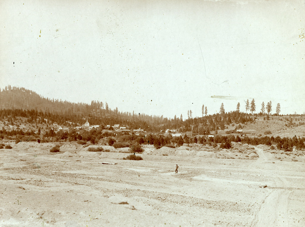 Steamboat TrailHiking · ~18 min drivePhoto: waterarchives, CC BY-SA 2.0 (via Flickr)
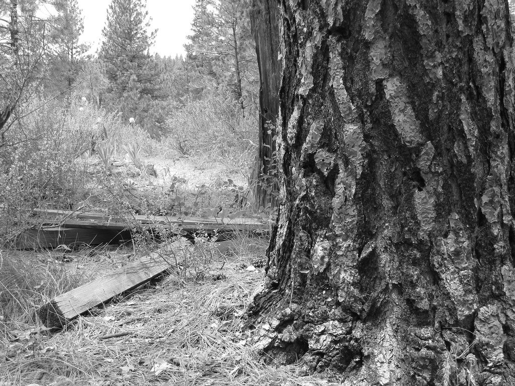 Charcoal Gulch TrailHiking · ~18 min drivePhoto: Fokket, CC BY 2.0 (via Flickr)UPPER MORES CREEKHiking · ~18 min drivePhoto: waterarchives, CC BY-SA 2.0 (via Flickr)
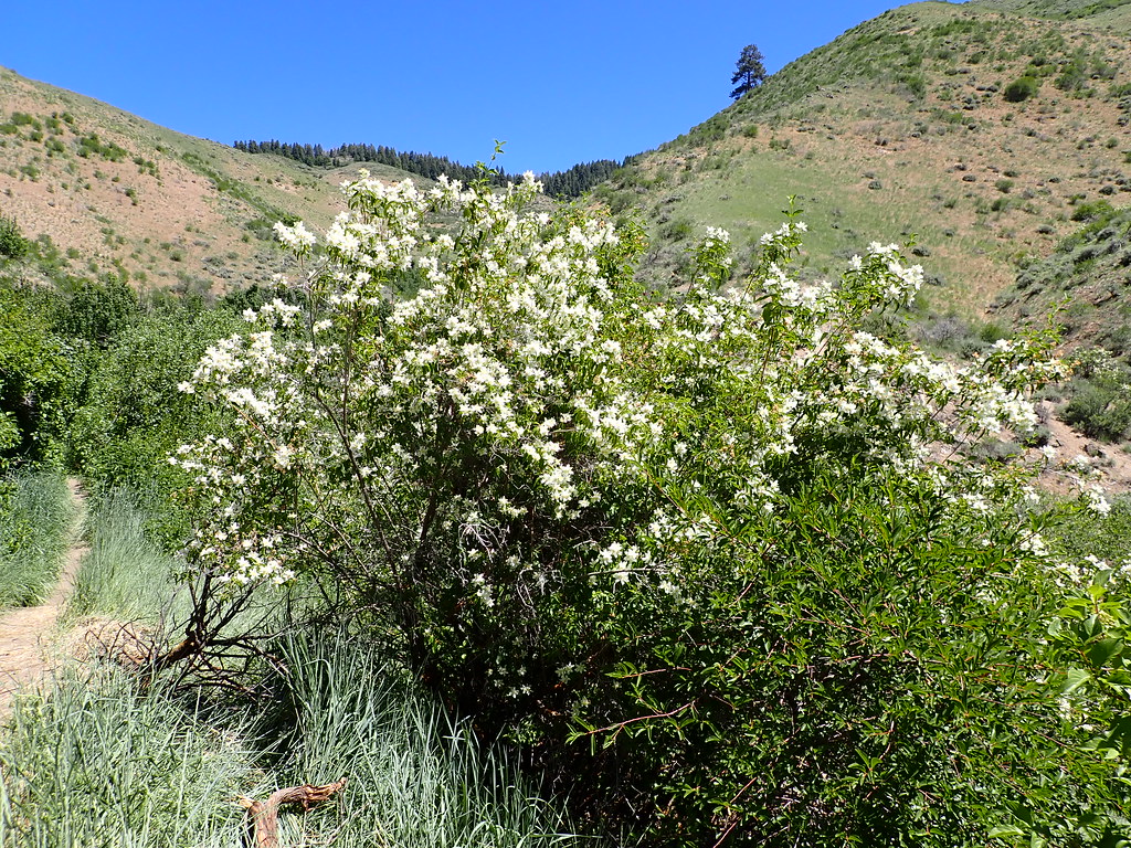 5-MileHiking · ~22 min drivePhoto: Matt Lavin, CC BY-SA 2.0 (via Flickr)Buena Vista TrailHiking · ~18 min drivePhoto: Fokket, CC BY 2.0 (via Flickr)
