Troutdale Campground
Campground
Campground · 1.4 mi from the trail
Closure in the area
There's a closure order in Boise National Forest. It doesn't name HAGA CREEK, so check the source for the area it covers.
UPDATED Sept. 19 - Crooked Fire Area, Road, and Trail Closure
Agency closure covering Boise National Forest · Order 0402-03-140 · USFS · Boise National Forest
Lava Fire Road Closure
Agency alert covering Boise National Forest · Order 0402-06-84 · USFS · Boise National Forest
As of · Source: USFS · Boise National Forest. Agencies don't list every closure — check before you go.
Haga Creek is a hard out-and-back hike in Idaho's Boise National Forest, within the Idaho City Ranger District. The route is about 12.6 miles long, with a total elevation gain of 4,255 feet, and it starts and ends at about 3,831 feet. The high point is 6,292 feet, and the climb is front-loaded, with the steepest stretch at about 2.5 miles in, where the grade reaches 42 percent. The trip takes about 6.5 hours. The Forest Service manages the land, and Troutdale Campground sits about 1.4 miles away, making it the closest place to camp. The William Pogue National Recreational Trail is about 1.8 miles off, and Badger Creek Campground is about 4.4 miles away. Sheep Creek, a canoeing spot, is about 4.1 miles from the trail.
Troutdale Campground
Campground
Sheep Creek Bridge Hot Springs
Hot spring
Places © OpenStreetMap contributors, Places © Overture Maps Foundation
More in Idaho CityNot on Roamze yet. Their page has how to reach them.
Source: Roamze catalog (indexable pages within 10 miles, PostGIS distance)
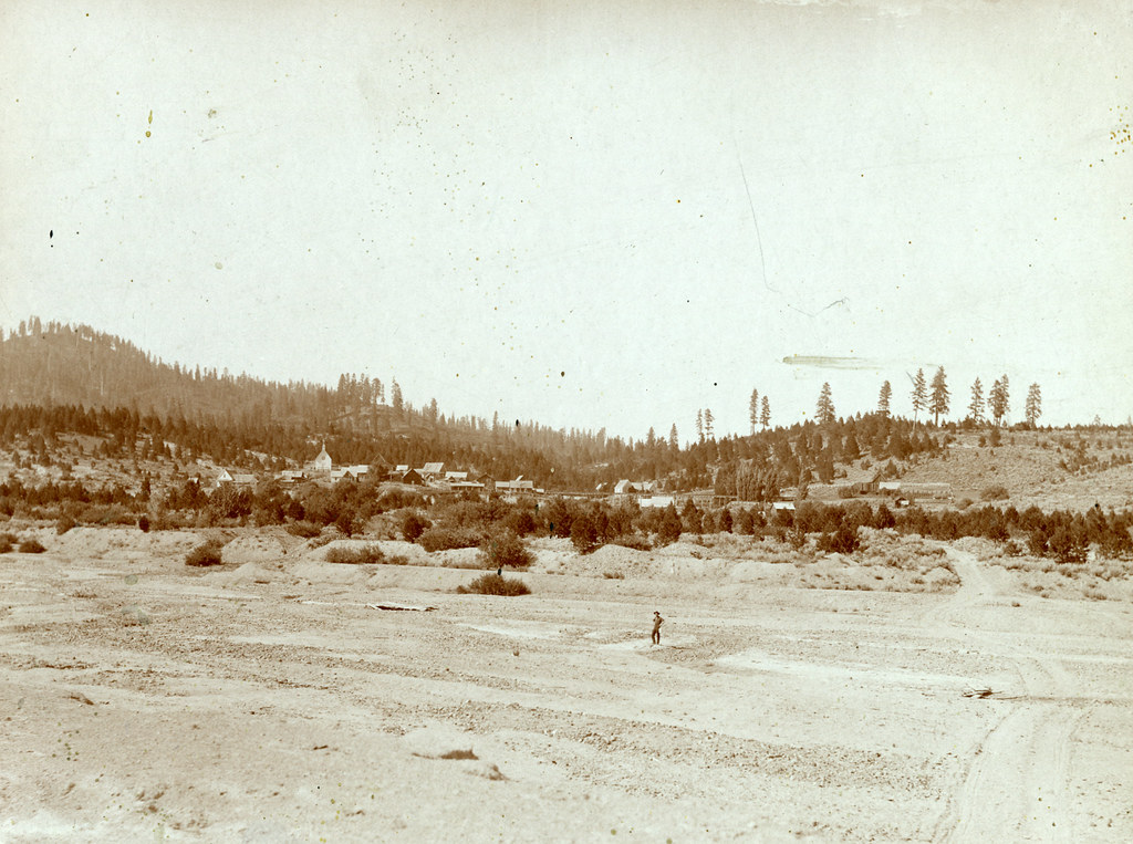 Granite Ck InterpretiveHiking · ~19 min drivePhoto: waterarchives, CC BY-SA 2.0 (via Flickr)
 Charcoal Gulch TrailHiking · ~22 min drivePhoto: Fokket, CC BY 2.0 (via Flickr)Steamboat TrailHiking · ~19 min drivePhoto: waterarchives, CC BY-SA 2.0 (via Flickr)UPPER MORES CREEKHiking · ~19 min drivePhoto: waterarchives, CC BY-SA 2.0 (via Flickr)

