Grayback Campground and Group sites - reserve
Campground
Campground · 2.7 mi from the trail
Closure in the area
There's a closure order in Boise National Forest. It doesn't name THORNE BUTTE LOOP, so check the source for the area it covers.
UPDATED Sept. 19 - Crooked Fire Area, Road, and Trail Closure
Agency closure covering Boise National Forest · Order 0402-03-140 · USFS · Boise National Forest
Lava Fire Road Closure
Agency alert covering Boise National Forest · Order 0402-06-84 · USFS · Boise National Forest
As of · Source: USFS · Boise National Forest. Agencies don't list every closure — check before you go.
Thorne Butte Loop is a 26-mile expert-level hike in the Idaho City Ranger District of Boise National Forest in Idaho, managed by the Forest Service. The route starts at about 3,950 feet and climbs to 6,735 feet, with a total gain of 6,028 feet and a loss of 3,241 feet over the course of the trip. The trail is a point-to-point route, so plan for a full day or more. The climb is steep, and the elevation gain is more than a thousand feet for every four miles of the trip. Several other hikes sit close by. Upper Mores Creek is about 0.2 miles away, and the Steamboat Trail and Bear Run/Pilot Peak are within a mile. For an overnight base, Grayback Campground and Group sites is about 2.7 miles away.
Grayback Campground and Group sites - reserve
Campground
 If it rainsj.a.woodhouse from United States, CC BY 2.0 · Wikimedia Commons
Places © OpenStreetMap contributors, Places © Overture Maps Foundation · Photos: j.a.woodhouse from United States, CC BY 2.0 (commons)
More in Idaho CityNot on Roamze yet. Their page has how to reach them.
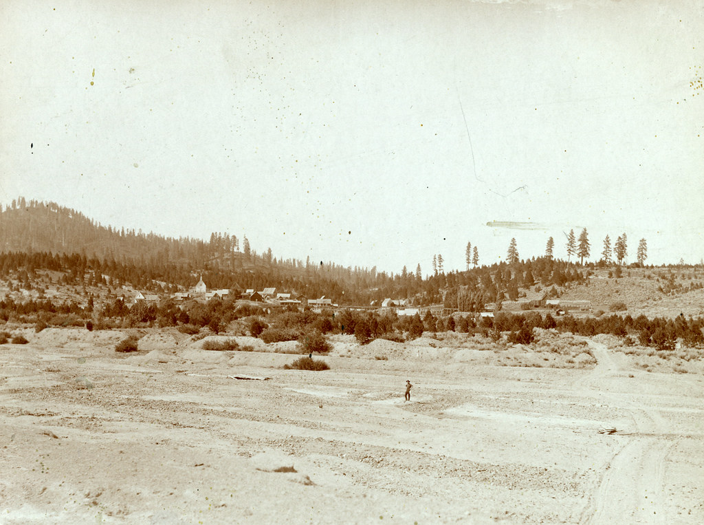 UPPER MORES CREEKHikingPhoto: waterarchives, CC BY-SA 2.0 (via Flickr)0.2 miSteamboat TrailHikingPhoto: waterarchives, CC BY-SA 2.0 (via Flickr)0.4 mi
 Grimes CreekCanoeingPhoto: Rickmouser45, CC BY-SA 4.0 (via Wikimedia Commons)7.1 mi
Source: Roamze catalog (indexable pages within 10 miles, PostGIS distance)
UPPER MORES CREEKHiking · Next doorPhoto: waterarchives, CC BY-SA 2.0 (via Flickr) Charcoal Gulch TrailHiking · ~3 min drivePhoto: Fokket, CC BY 2.0 (via Flickr)Steamboat TrailHiking · Next doorPhoto: waterarchives, CC BY-SA 2.0 (via Flickr)Granite Ck InterpretiveHiking · ~2 min drivePhoto: waterarchives, CC BY-SA 2.0 (via Flickr)

