Robie Creek Park Group Shelter
Campground
The next 6 weekends are full on Recreation.gov
 Photo: U.S. Forest Service, Public domain (via Wikimedia Commons)
Closure in the area
There's a closure order in Boise National Forest. It doesn't name Cervadae West Side Trail, so check the source for the area it covers.
UPDATED Sept. 19 - Crooked Fire Area, Road, and Trail Closure
Agency closure covering Boise National Forest · Order 0402-03-140 · USFS · Boise National Forest
Lava Fire Road Closure
Agency alert covering Boise National Forest · Order 0402-06-84 · USFS · Boise National Forest
As of · Source: USFS · Boise National Forest. Agencies don't list every closure — check before you go.
Cervadae West Side Trail is a moderate out-and-back hike in Idaho's Boise National Forest, within the Mountain Home Ranger District and the Boise River Wildlife Management Area. The land is managed by State Fish and Wildlife, and the trail's high point reaches 4,943 feet, about 1,760 feet above the 3,189-foot starting point. The route is roughly 1.9 miles long, with the steepest stretch at about 0.87 miles in, where the grade reaches 50%. The climb is front-loaded, so the hardest part comes early. The trip takes about 1.5 hours. Summer is the most comfortable time to go. Typical averages from a nearby weather station in Boise show July highs around 88°F with lows near 58°F, and September cools to highs around 76°F. That station sits about 1,058 feet lower than the trail's high point, so temperatures on the summit run cooler. Robie Creek Park Group Shelter is about 1.6 miles away, and Adleman Mine Trail is about 2.9 miles off. Scary Canyon, a climbing area, is about 6.8 miles away, and the Boise River offers fishing about 7.8 miles from the trail.
Robie Creek Park Group Shelter
Campground
 If it rainsTamanoeconomico, CC BY-SA 4.0 · Wikimedia Commons
Joseph Bown House
Museum
Places © OpenStreetMap contributors · Photos: Tamanoeconomico, CC BY-SA 4.0 (commons)
More in Idaho CityNot on Roamze yet. Their page has how to reach them.
Daily highs and lows, wind and the chance of precipitation at the summit and route start for the next 7 days, from the Open-Meteo model.
 Scary CanyonRock climbingPhoto: cifraser1, CC BY 2.0 (via Flickr)6.8 mi
Source: Roamze catalog (indexable pages within 10 miles, PostGIS distance)
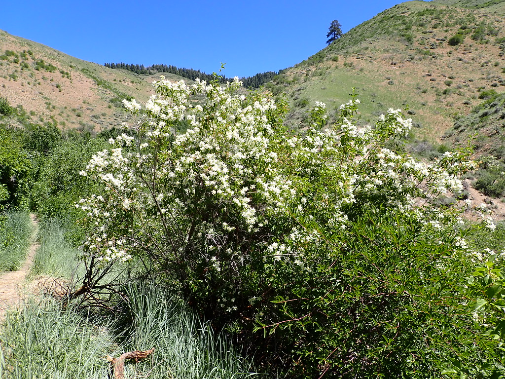 Orchard GulchHiking · ~10 min drivePhoto: Matt Lavin, CC BY-SA 2.0 (via Flickr)5-MileHiking · ~11 min drivePhoto: Matt Lavin, CC BY-SA 2.0 (via Flickr)
 #6 Femrite's Patrol TrailHiking · ~12 min drivePhoto: Matt Lavin, CC BY-SA 2.0 (via Flickr)Prospect TrailHiking · ~10 min drivePhoto: Matt Lavin, CC BY-SA 2.0 (via Flickr)
 Joel Palmer TrailHiking · ~12 min drivePhoto: waterarchives, CC BY-SA 2.0 (via Flickr)
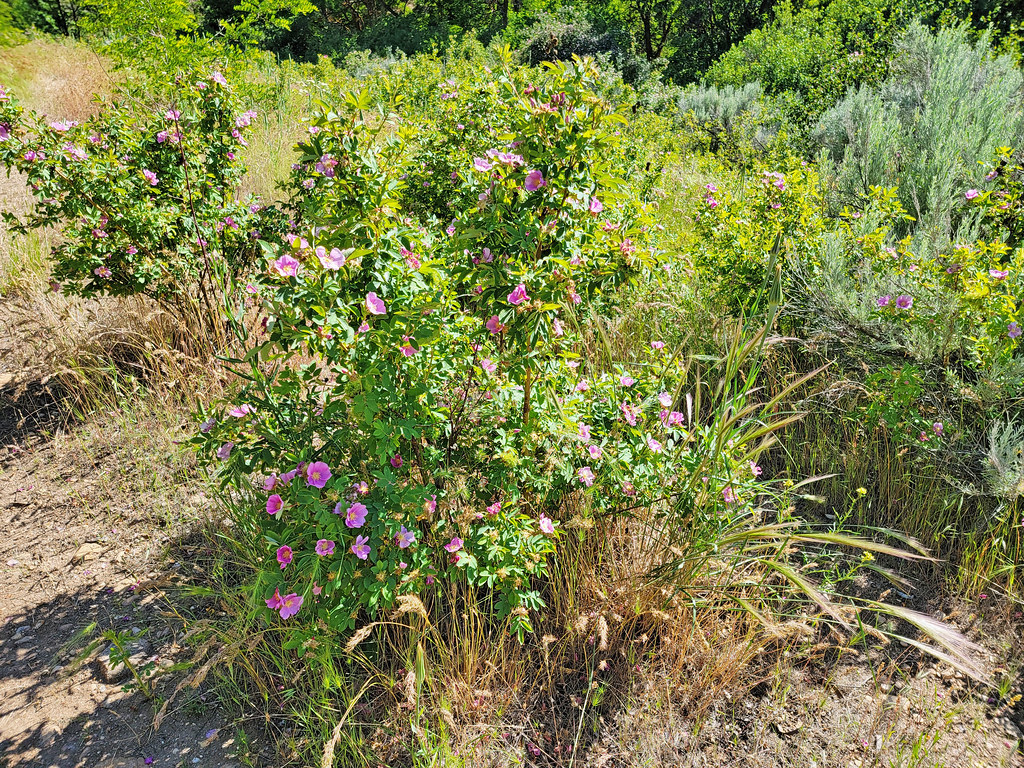 Route of the Oregon TrailHiking · ~14 min drivePhoto: AndreyZharkikh, CC BY 2.0 (via Flickr)
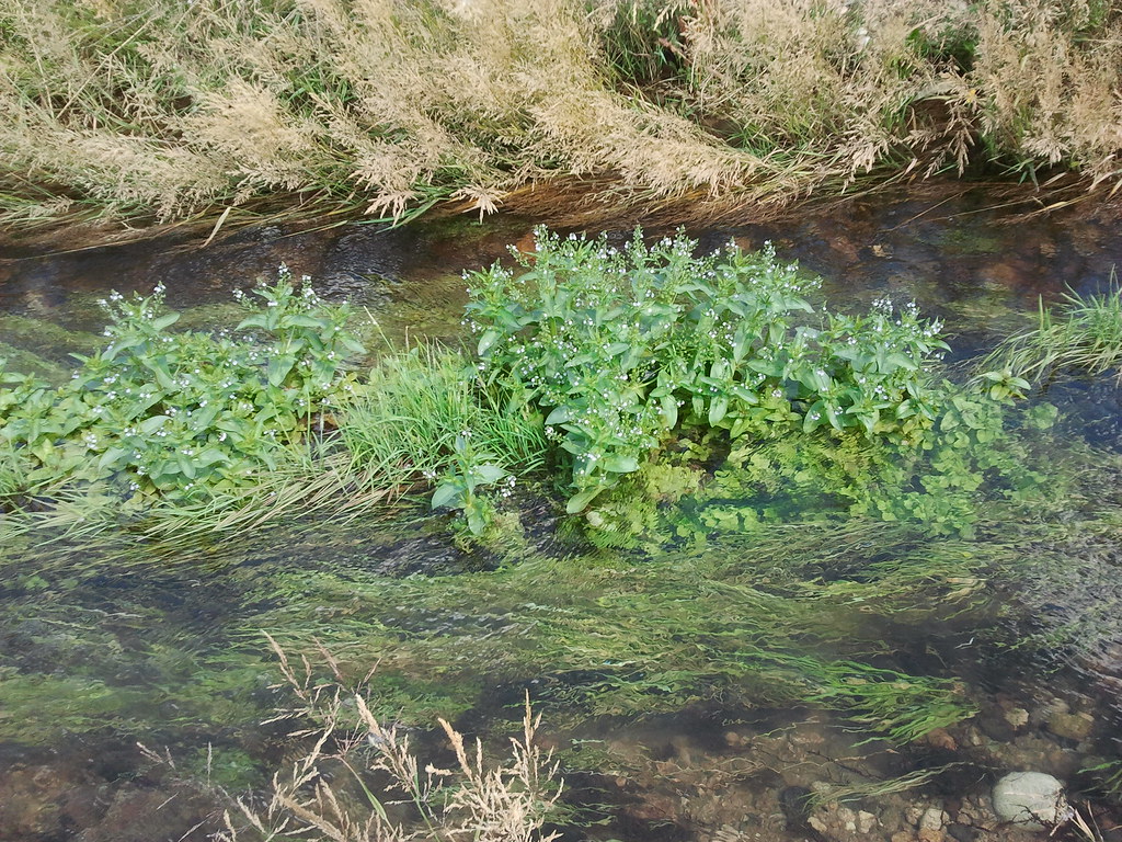 River Heights TrailHiking · ~11 min drivePhoto: cifraser1, CC BY 2.0 (via Flickr)
 #5 Freestone RidgeHiking · ~13 min drivePhoto: Matt Lavin, CC BY-SA 2.0 (via Flickr)#4a Hull's Ridge TrailHiking · ~11 min drivePhoto: Matt Lavin, CC BY-SA 2.0 (via Flickr)
Best months: May–June and September–October. Best months have typical highs of 55–85 °F, lows of 30 °F or warmer (32 °F where the station doesn't record snow), at most one snowy day and no more than 12 wet days.
Jan
37° / 24°
13 wet · 9 snow
Feb
43° / 27°
12 wet · 6 snow
Mar
51° / 32°
13 wet · 5 snow
Apr
58° / 36°
11 wet · 3 snow
May
68° / 43°
11 wet · 1 snow
Jun
77° / 49°
7 wet
Jul
88° / 58°
4 wet
Aug
86° / 58°
3 wet
Sep
76° / 50°
5 wet
Oct
61° / 40°
7 wet · 1 snow
Nov
46° / 30°
12 wet · 5 snow
Dec
37° / 23°
14 wet · 9 snow
Typical high / low (°F) and days with rain or snow, 1991–2020. Measured at Boise 7 N, ID, 13.9 mi away at 3,885 ft. The station sits about 1,100 ft lower than this place, so expect it a little cooler here. Source: NOAA NCEI U.S. Climate Normals 1991–2020.
About 1.0 mi round trip.
About 1,765 ft of climbing round trip.
It is rated moderate.
About 1 hour round trip.
Map and trail data © OpenStreetMap contributors
