Grayback Campground and Group sites - reserve
Campground
Campground · 1.5 mi from the trail
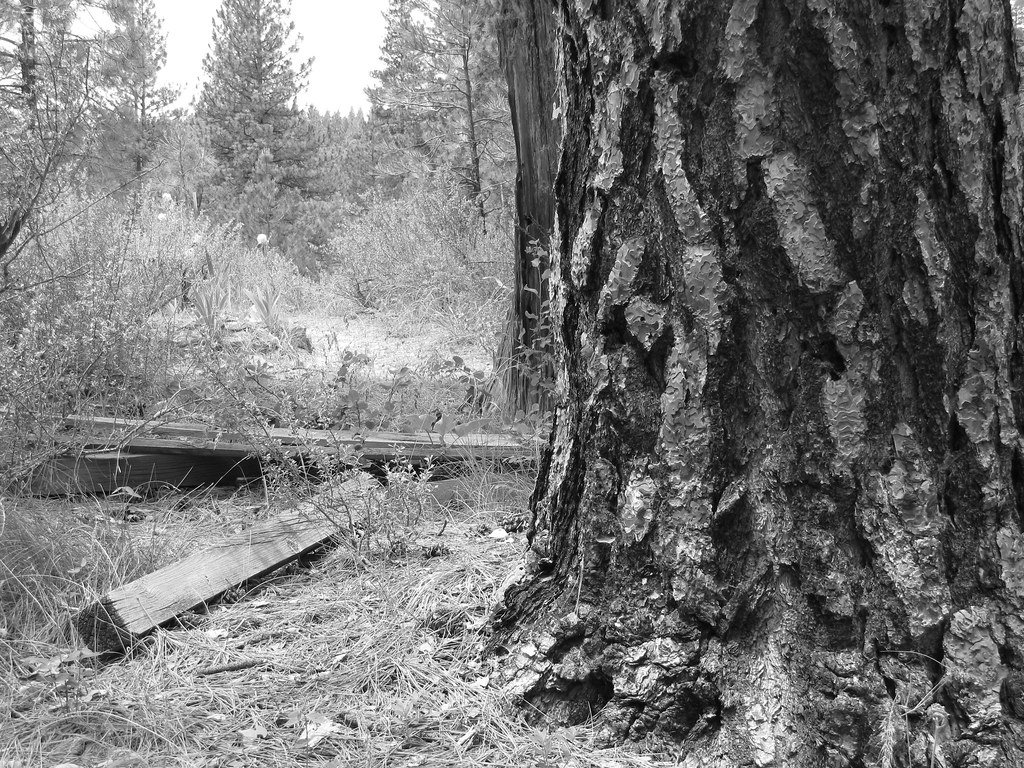 Photo: Fokket, CC BY 2.0 (via Flickr)
Charcoal Gulch Trail is a moderate out-and-back hike on Bureau of Land Management land in Idaho's Four Rivers Field Office, about 1.89 miles long and with a total elevation gain of 1,031 feet. The trail rises to 4,784 feet from a low point of 3,929 feet, and the one-way climb is 1,031 feet, with the total round trip reaching 1,207 feet. The route is rolling, and the steepest stretch comes at about 0.7 miles from the start, where the grade reaches 19%. That gives the hike a clear sense of purpose as it climbs, and the total trip takes about two hours to complete. Summer is the most comfortable season. Typical averages from a nearby weather station in Idaho City, at a similar elevation, put July highs around 87°F with lows near 46°F, while September cools to about 77°F with only a few wet days. The trail sits alongside other trails and skiing. Charcoal Gulch, a cross-country ski area, and the Buena Vista Trail are both about 0.1 mile away. For an overnight stay, Grayback Gulch Campground is about 1.6 miles off, and Bad Bear Campground is roughly 8.8 miles away.
Grayback Campground and Group sites - reserve
Campground
Chalet Drive-In
Fast food
 If it rainsj.a.woodhouse from United States, CC BY 2.0 · Wikimedia Commons
Places © OpenStreetMap contributors · Photos: j.a.woodhouse from United States, CC BY 2.0 (commons)
More in Idaho CityNot on Roamze yet. Their page has how to reach them.
Buena Vista TrailHikingPhoto: Fokket, CC BY 2.0 (via Flickr)0.1 mi Grimes CreekCanoeingPhoto: Rickmouser45, CC BY-SA 4.0 (via Wikimedia Commons)6.7 mi
Source: Roamze catalog (indexable pages within 10 miles, PostGIS distance)
Buena Vista TrailHiking · Next doorPhoto: Fokket, CC BY 2.0 (via Flickr) UPPER MORES CREEKHiking · ~3 min drivePhoto: waterarchives, CC BY-SA 2.0 (via Flickr)Steamboat TrailHiking · ~3 min drivePhoto: waterarchives, CC BY-SA 2.0 (via Flickr)
Best months: May–June and September. Best months have typical highs of 55–85 °F, lows of 30 °F or warmer (32 °F where the station doesn't record snow), at most one snowy day and no more than 12 wet days.
Jan
35° / 13°
11 wet
Feb
40° / 16°
9 wet
Mar
48° / 22°
10 wet
Apr
56° / 27°
9 wet
May
66° / 35°
8 wet
Jun
75° / 40°
6 wet
Jul
87° / 46°
3 wet
Aug
86° / 44°
2 wet
Sep
77° / 36°
3 wet
Oct
62° / 28°
6 wet
Nov
44° / 21°
9 wet
Dec
35° / 14°
11 wet
Typical high / low (°F) and days with rain or snow, 1991–2020. Measured at Idaho City, ID, 1.3 mi away at 3,965 ft. The station sits about 800 ft lower than this place, so expect it a little cooler here. This station doesn't record snowfall. Source: NOAA NCEI U.S. Climate Normals 1991–2020.
Map and trail data © OpenStreetMap contributors

