Kadletz Creek
- 2.4 mi
- round trip
- 2,112 ft
- climb
- 8,246 ft
- high point
- Out and back
- route
Caution today
Agency alerts are in effect for this area; weather is marginal · USFS, OpenWeather · checked just now
Is KADLETZ CREEK open right now?
Alert in the area
The Forest Service lists an alert for Salmon-Challis National Forest.
Stoddard Bridge Construction Closure
Agency alert covering Salmon-Challis National Forest · Order 0413-07-17 · USFS · Salmon-Challis National Forest
As of · Source: USFS · Salmon-Challis National Forest. Agencies don't list every closure — check before you go.
Kadletz Creek is a moderate out-and-back hike in Idaho's Salmon-Challis National Forest, within the Leadore Ranger District. The trail is about 4.8 miles long, with a total elevation gain of 2,112 feet, and it starts at roughly 7,150 feet, rising to a high point of about 8,246 feet. The steepest stretch comes at about 1.7 miles in, where the grade reaches 19 percent. The trip takes about 2.5 hours. The route is a loop in shape, with the same amount of gain and loss on the way up and back down. The Bear Valley Lakes NRT and Hayden Creek are both about 1.7 miles away, and Basin Creek-High Spur 1 is about 2 miles off. For an overnight stay, Morse Creek Campground sits about 9.7 miles from the trail.
- BEAR VALLEY LAKES NRTHiking1.7 mi
- HAYDEN CREEKHiking1.7 mi
- BASIN CREEK-HIGH SPUR 1Hiking2 mi
- Buck LakeHiking3.6 mi
- BASIN CREEK-HIGHHiking4.6 mi
- Allison-Bear ValleyHiking4.7 mi
- UPPER BEAR VALLEY LAKESHiking4.8 mi
- Morse Creek CampgroundCamping9.7 mi
Source: Roamze catalog (indexable pages within 10 miles, PostGIS distance)
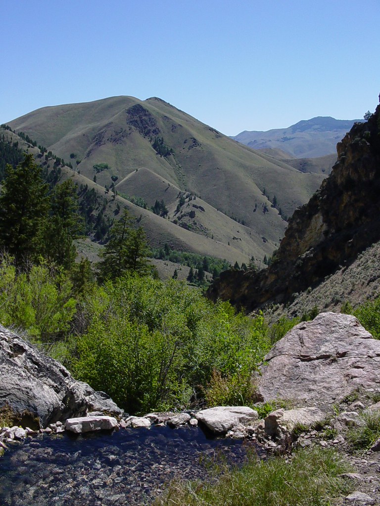 Goldbug Hot Springs TrailHiking · ~22 min drivePhoto: Ben B Miller, CC BY-SA 2.0 (via Flickr)
 Lime CreekHiking · ~24 min drivePhoto: waterarchives, CC BY-SA 2.0 (via Flickr)
 Mckim CreekHiking · ~18 min drivePhoto: User:akampfer, CC BY-SA 3.0 (via Wikimedia Commons)
- HAYDEN CREEKHiking · ~3 min drive
- Buck LakeHiking · ~6 min drive
- BEAR VALLEY LAKES NRTHiking · ~3 min drive
- UPPER BEAR VALLEY LAKESHiking · ~8 min drive
- MILL-HAYDEN LOOP WTHiking · ~16 min drive
- Allison-Bear ValleyHiking · ~8 min drive
- BASIN CREEK-HIGHHiking · ~8 min drive

